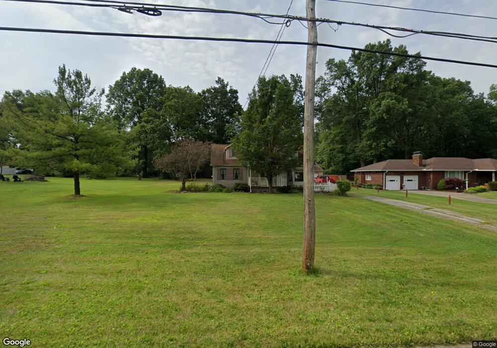
5065 Norquest Blvd Youngstown, OH 44515
Austintown NeighborhoodEstimated Value: $149,000 - $160,472
4
Beds
1
Bath
960
Sq Ft
$162/Sq Ft
Est. Value
About This Home
This home is located at 5065 Norquest Blvd, Youngstown, OH 44515 and is currently estimated at $155,618, approximately $162 per square foot. 5065 Norquest Blvd is a home located in Mahoning County with nearby schools including Austintown Elementary School, Austintown Intermediate School, and Austintown Middle School.
Ownership History
Date
Name
Owned For
Owner Type
Purchase Details
Closed on
Feb 23, 2023
Sold by
Caroline Ellen D
Bought by
Caroline Ellen D and Caroline Alexis
Current Estimated Value
Purchase Details
Closed on
Jun 1, 2010
Sold by
Caroline Ellen and Caroline Ellen D
Bought by
Dean Randy M and Dean Erin M
Purchase Details
Closed on
Jul 31, 1981
Bought by
Caroline Wm A
Create a Home Valuation Report for This Property
The Home Valuation Report is an in-depth analysis detailing your home's value as well as a comparison with similar homes in the area
Home Values in the Area
Average Home Value in this Area
Purchase History
| Date | Buyer | Sale Price | Title Company |
|---|---|---|---|
| Caroline Ellen D | -- | -- | |
| Dean Randy M | $79,733 | Attorney | |
| Caroline Wm A | -- | -- |
Source: Public Records
Mortgage History
| Date | Status | Borrower | Loan Amount |
|---|---|---|---|
| Closed | Dean Randy M | $0 |
Source: Public Records
Tax History Compared to Growth
Tax History
| Year | Tax Paid | Tax Assessment Tax Assessment Total Assessment is a certain percentage of the fair market value that is determined by local assessors to be the total taxable value of land and additions on the property. | Land | Improvement |
|---|---|---|---|---|
| 2024 | $1,427 | $40,950 | $4,010 | $36,940 |
| 2023 | $1,433 | $40,950 | $4,010 | $36,940 |
| 2022 | $1,027 | $27,000 | $4,010 | $22,990 |
| 2021 | $1,028 | $27,000 | $4,010 | $22,990 |
| 2020 | $1,032 | $27,000 | $4,010 | $22,990 |
| 2019 | $895 | $23,130 | $3,650 | $19,480 |
| 2018 | $861 | $23,130 | $3,650 | $19,480 |
| 2017 | $836 | $23,130 | $3,650 | $19,480 |
| 2016 | $814 | $22,260 | $3,650 | $18,610 |
| 2015 | $790 | $22,260 | $3,650 | $18,610 |
| 2014 | $793 | $22,260 | $3,650 | $18,610 |
| 2013 | $785 | $22,260 | $3,650 | $18,610 |
Source: Public Records
Map
Nearby Homes
- 112 Benton St
- 5231 W Rockwell Rd
- 148 N Kimberly Ave
- 5451 Virginia Dr
- 3794-3796 Mahoning Ave
- 124 S Inglewood Ave
- 148 Marcia Dr
- 138 N Canfield Niles Rd
- 5109 W Elmwood Ave
- 111 Ohltown Rd
- 176 N Canfield Niles Rd
- 170 Idaho Rd
- 5560 Norquest Blvd
- 125 Fitch Blvd Unit 224
- 316 S Inglewood Ave
- 5559 London Dr
- 111 Fitch Blvd
- 0 Madrid Dr
- 5318 Pinecrest Ave
- 5640 Baylor Ave
- 5025 Norquest Blvd
- 5087 Norquest Blvd
- 152 Atlanta Ave Unit 154
- 143 Atlanta Ave Unit 145
- 144 Atlanta Ave Unit 146
- 5019 Norquest Blvd
- 5091 Norquest Blvd
- 137 Atlanta Ave
- 137 Atlanta Ave Unit 139
- 4976 Norquest Blvd
- 4972 Norquest Blvd
- 138 Atlanta Ave Unit 140
- 4966 Norquest Blvd
- 5082 Norquest Blvd
- 131 Atlanta Ave Unit 133
- 146 Benton St
- 5090 Norquest Blvd
- 5005 Norquest Blvd
- 132 Atlanta Ave Unit 134
- 5012 Norquest Blvd