5065 Us Highway 12 SW Waverly, MN 55390
Estimated Value: $647,000 - $745,148
4
Beds
6
Baths
1,920
Sq Ft
$366/Sq Ft
Est. Value
About This Home
This home is located at 5065 Us Highway 12 SW, Waverly, MN 55390 and is currently estimated at $703,049, approximately $366 per square foot. 5065 Us Highway 12 SW is a home with nearby schools including Humphrey Elementary School, Winsted Elementary School, and Howard Lake-Waverly-Winsted Middle School.
Ownership History
Date
Name
Owned For
Owner Type
Purchase Details
Closed on
Apr 15, 2022
Sold by
Palmer Peter
Bought by
Wegner Nicholas and Wegner Barbara
Current Estimated Value
Home Financials for this Owner
Home Financials are based on the most recent Mortgage that was taken out on this home.
Original Mortgage
$526,400
Outstanding Balance
$491,832
Interest Rate
3.76%
Mortgage Type
New Conventional
Estimated Equity
$211,217
Purchase Details
Closed on
May 25, 2021
Sold by
Palmer Peter B
Bought by
Palmer Peter B and Peter Brampton Palmer Trust
Create a Home Valuation Report for This Property
The Home Valuation Report is an in-depth analysis detailing your home's value as well as a comparison with similar homes in the area
Home Values in the Area
Average Home Value in this Area
Purchase History
| Date | Buyer | Sale Price | Title Company |
|---|---|---|---|
| Wegner Nicholas | $658,000 | -- | |
| Palmer Peter B | -- | None Available |
Source: Public Records
Mortgage History
| Date | Status | Borrower | Loan Amount |
|---|---|---|---|
| Open | Wegner Nicholas | $526,400 |
Source: Public Records
Tax History Compared to Growth
Tax History
| Year | Tax Paid | Tax Assessment Tax Assessment Total Assessment is a certain percentage of the fair market value that is determined by local assessors to be the total taxable value of land and additions on the property. | Land | Improvement |
|---|---|---|---|---|
| 2025 | $4,536 | $768,700 | $403,000 | $365,700 |
| 2024 | $4,460 | $761,100 | $416,000 | $345,100 |
| 2023 | $4,258 | $759,500 | $395,900 | $363,600 |
| 2022 | $3,942 | $680,000 | $338,500 | $341,500 |
| 2021 | $3,902 | $578,200 | $294,400 | $283,800 |
| 2020 | $3,854 | $557,400 | $283,900 | $273,500 |
| 2019 | $3,888 | $109,400 | $0 | $0 |
| 2018 | $3,584 | $110,600 | $0 | $0 |
| 2017 | $3,674 | $497,800 | $0 | $0 |
| 2016 | $3,658 | $0 | $0 | $0 |
Source: Public Records
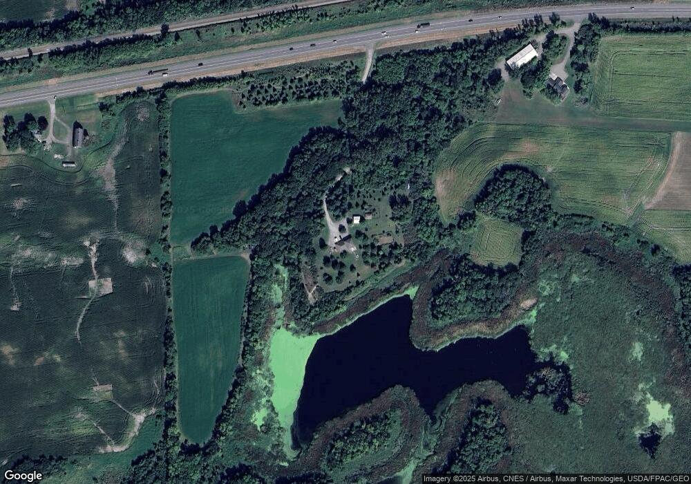
Map
Nearby Homes
- 4614 56th St SW
- 155 Summerfield Dr
- Mesa Verde Plan at Summerfield
- Goodhue Plan at Summerfield
- Anoka Plan at Summerfield
- 157 Summerfield Dr
- 158 Summerfield Dr
- 160 Summerfield Dr
- 408 Atlantic Ave
- 424 Wildflower Ct
- XX Sect-05 Twp-118 Range-026
- 1701 N Shore Dr
- 907 Brandenburg Ln
- The Oak Ridge Plan at Carrigan Meadows
- The Madison Villa Plan at Carrigan Meadows
- The Weston Plan at Carrigan Meadows
- The Augusta Villa Plan at Carrigan Meadows
- The Waterford Plan at Carrigan Meadows
- The Lakewood Plan at Carrigan Meadows
- The Windsor Villa Plan at Carrigan Meadows
- 4859 Us Highway 12 SW
- 5279 Us Highway 12 SW
- 4955 60th St SW
- 5016 60th St SW
- XXXX Us Highway 12 SW
- XXX Us Highway 12 SW
- 4818 60th St SW
- 4786 60th St SW
- 4655 Us Highway 12 SW
- 4551 Us Highway 12 SW
- 4551 Us Highway 12 SW
- 4835 57th St SW
- 6069 Emerson Ave SW Unit A
- 6407 Emerson Ave SW
- 4839 57th St SW
- 4843 57th St SW
- 6469 Emerson Ave SW
- xxx 57th St SW
- 6493 Emerson Ave SW
- 5725 Endicott Ave SW