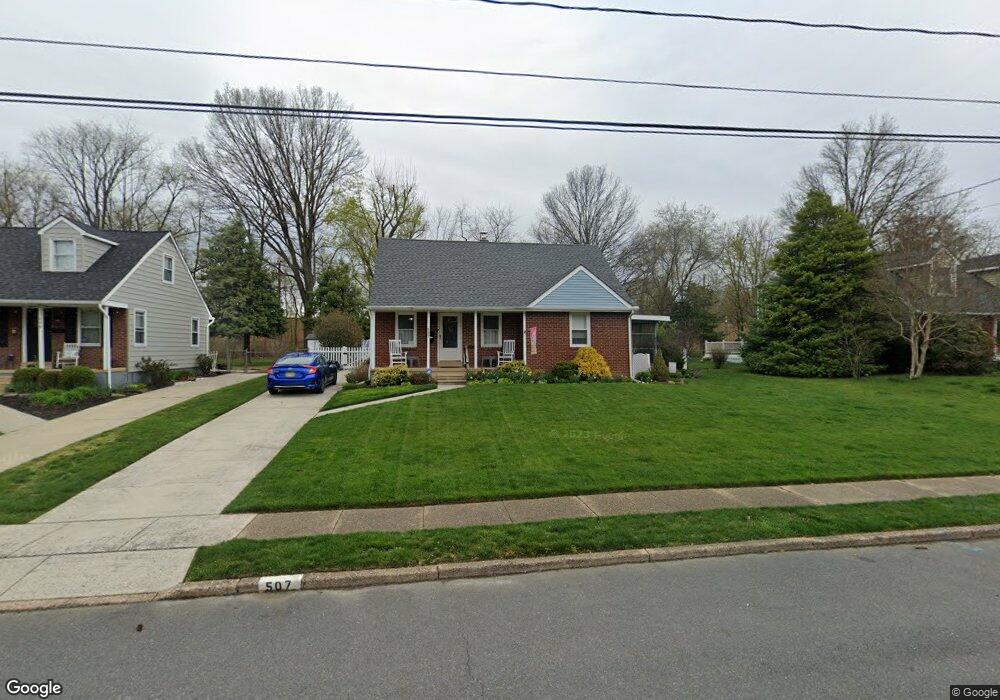
507 Devon Rd Moorestown, NJ 08057
Estimated Value: $425,295 - $570,000
Studio
--
Bath
1,771
Sq Ft
$290/Sq Ft
Est. Value
About This Home
This home is located at 507 Devon Rd, Moorestown, NJ 08057 and is currently estimated at $514,324, approximately $290 per square foot. 507 Devon Rd is a home located in Burlington County with nearby schools including George C. Baker Elementary School, Moorestown Upper Elementary School, and William Allen Middle School.
Ownership History
Date
Name
Owned For
Owner Type
Purchase Details
Closed on
Apr 5, 1971
Bought by
Nehring Robert E
Current Estimated Value
Create a Home Valuation Report for This Property
The Home Valuation Report is an in-depth analysis detailing your home's value as well as a comparison with similar homes in the area
Home Values in the Area
Average Home Value in this Area
Purchase History
| Date | Buyer | Sale Price | Title Company |
|---|---|---|---|
| Nehring Robert E | $23,500 | -- |
Source: Public Records
Tax History
| Year | Tax Paid | Tax Assessment Tax Assessment Total Assessment is a certain percentage of the fair market value that is determined by local assessors to be the total taxable value of land and additions on the property. | Land | Improvement |
|---|---|---|---|---|
| 2025 | $6,868 | $242,100 | $118,200 | $123,900 |
| 2024 | $6,660 | $242,100 | $118,200 | $123,900 |
| 2023 | $6,660 | $242,100 | $118,200 | $123,900 |
| 2022 | $6,592 | $242,100 | $118,200 | $123,900 |
| 2021 | $6,057 | $242,100 | $118,200 | $123,900 |
| 2020 | $6,464 | $242,100 | $118,200 | $123,900 |
| 2019 | $6,350 | $242,100 | $118,200 | $123,900 |
| 2018 | $6,178 | $242,100 | $118,200 | $123,900 |
| 2017 | $6,232 | $242,100 | $118,200 | $123,900 |
| 2016 | $6,210 | $242,100 | $118,200 | $123,900 |
| 2015 | $6,135 | $242,100 | $118,200 | $123,900 |
| 2014 | $5,825 | $242,100 | $118,200 | $123,900 |
Source: Public Records
Map
Nearby Homes
- 401 W 3rd St
- 307 Fairview Ave
- 15 Circle Dr
- 543 Bethel Ave
- 444 Shady Ln
- 601 Stratford Dr
- 206 E Camden Ave
- 149 Chalkboard Ct
- 93 Westbrook Dr
- 141 Chalkboard Ct Unit 141
- 15 W Close Unit 15
- 22 E Close Unit 22
- 206 Crider Ave Unit 206
- 21 N Lenola Rd
- 5 Vincent Way
- 27 Domenica Dr
- 11 Errickson Ave
- 8 S Close Unit 8
- 228 Mill St
- 700 Lippincott Ave
Your Personal Tour Guide
Ask me questions while you tour the home.