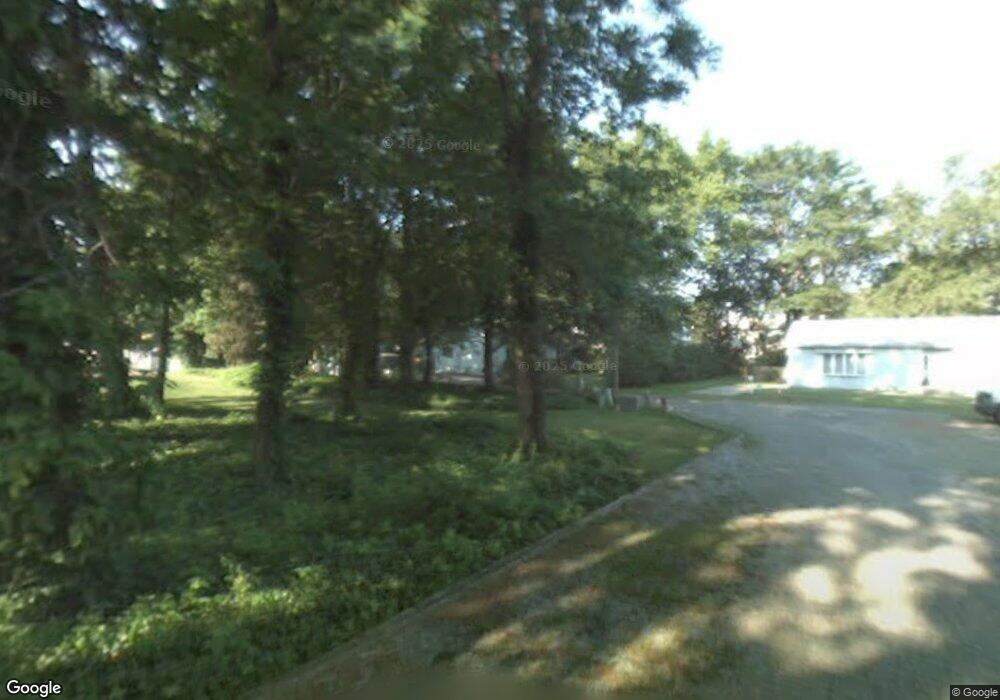
507 Madison Ln Magnolia, NJ 08049
Estimated Value: $377,000 - $397,727
Studio
--
Bath
2,020
Sq Ft
$192/Sq Ft
Est. Value
About This Home
This home is located at 507 Madison Ln, Magnolia, NJ 08049 and is currently estimated at $388,682, approximately $192 per square foot. 507 Madison Ln is a home located in Camden County with nearby schools including Magnolia Elementary School, Sterling High School, and St. Teresa Regional School.
Ownership History
Date
Name
Owned For
Owner Type
Purchase Details
Closed on
Jun 23, 2006
Sold by
Curtis W Hill Est Of
Bought by
Smith James F
Current Estimated Value
Home Financials for this Owner
Home Financials are based on the most recent Mortgage that was taken out on this home.
Original Mortgage
$170,000
Interest Rate
6.88%
Create a Home Valuation Report for This Property
The Home Valuation Report is an in-depth analysis detailing your home's value as well as a comparison with similar homes in the area
Home Values in the Area
Average Home Value in this Area
Purchase History
| Date | Buyer | Sale Price | Title Company |
|---|---|---|---|
| Smith James F | $212,500 | -- |
Source: Public Records
Mortgage History
| Date | Status | Borrower | Loan Amount |
|---|---|---|---|
| Previous Owner | Smith James F | $170,000 |
Source: Public Records
Tax History
| Year | Tax Paid | Tax Assessment Tax Assessment Total Assessment is a certain percentage of the fair market value that is determined by local assessors to be the total taxable value of land and additions on the property. | Land | Improvement |
|---|---|---|---|---|
| 2025 | $9,059 | $188,700 | $43,800 | $144,900 |
| 2024 | $8,839 | $188,700 | $43,800 | $144,900 |
| 2023 | $8,839 | $188,700 | $43,800 | $144,900 |
| 2022 | $8,608 | $188,700 | $43,800 | $144,900 |
| 2021 | $8,525 | $188,700 | $43,800 | $144,900 |
| 2020 | $8,363 | $188,700 | $43,800 | $144,900 |
| 2019 | $8,205 | $188,700 | $43,800 | $144,900 |
| 2018 | $8,039 | $188,700 | $43,800 | $144,900 |
| 2017 | $7,805 | $188,700 | $43,800 | $144,900 |
| 2016 | $7,586 | $188,700 | $43,800 | $144,900 |
| 2015 | $7,323 | $188,700 | $43,800 | $144,900 |
| 2014 | $7,220 | $188,700 | $43,800 | $144,900 |
Source: Public Records
Map
Nearby Homes
- 609 W Evesham Ave
- 423 Jackson Ave
- 347 W Monroe Ave
- 312 W Monroe Ave
- 322 W Washington Ave
- 612 N Walnut Ave
- 13 Malibu Dr
- 130 W Monroe Ave
- 105 W Washington Ave
- 122 Lincoln Ave
- 510 Johnson Place
- 327 E Evesham Rd
- 115 Phillips Ave
- 721 Mildred Ave
- 901 Sunset Dr
- 16 Reagan Dr
- 24 Reagan Dr
- 224 Lafayette Ave
- 34 Robert Dr
- 36 Robert Dr
- 501 Madison Ln
- 505 W Madison Ave
- 111 Charles Rd
- 109 Charles Rd
- 519 W Evesham Ave
- 113 Charles Rd
- 505 Madison Ln
- 501 W Madison Ave
- 513 W Evesham Ave
- 115 Charles Rd
- 515 W Evesham Ave
- 503 Madison Ln
- 117 Charles Rd
- 511 W Evesham Ave Unit A2
- 511 W Evesham Ave
- 521 W Evesham Ave
- 150 N Albertson Ave Unit F
- 150 N Albertson Ave Unit H
- 150 N Albertson Ave Unit C
- 150 N Albertson Ave Unit D
Your Personal Tour Guide
Ask me questions while you tour the home.