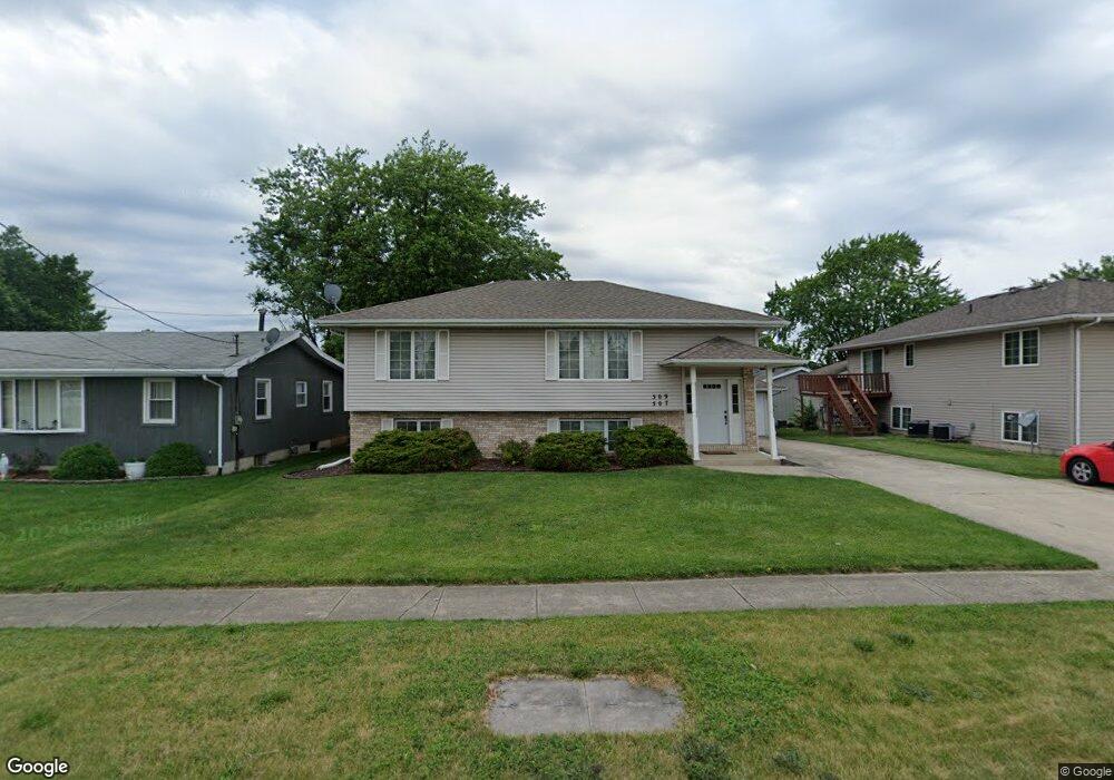
507 N Indiana Ave Unit 509 Crown Point, IN 46307
Estimated Value: $226,000 - $369,000
4
Beds
2
Baths
2,146
Sq Ft
$135/Sq Ft
Est. Value
About This Home
This home is located at 507 N Indiana Ave Unit 509, Crown Point, IN 46307 and is currently estimated at $290,066, approximately $135 per square foot. 507 N Indiana Ave Unit 509 is a home located in Lake County with nearby schools including Timothy Ball Elementary School, Robert Taft Middle School, and Crown Point High School.
Ownership History
Date
Name
Owned For
Owner Type
Purchase Details
Closed on
May 31, 2013
Sold by
Drinski Keith J
Bought by
Drinski Keith J and Drinski Paula M
Current Estimated Value
Home Financials for this Owner
Home Financials are based on the most recent Mortgage that was taken out on this home.
Original Mortgage
$57,200
Interest Rate
3.38%
Mortgage Type
New Conventional
Create a Home Valuation Report for This Property
The Home Valuation Report is an in-depth analysis detailing your home's value as well as a comparison with similar homes in the area
Home Values in the Area
Average Home Value in this Area
Purchase History
| Date | Buyer | Sale Price | Title Company |
|---|---|---|---|
| Drinski Keith J | -- | Chicago Title Ins Co |
Source: Public Records
Mortgage History
| Date | Status | Borrower | Loan Amount |
|---|---|---|---|
| Closed | Drinski Keith J | $57,200 |
Source: Public Records
Tax History Compared to Growth
Tax History
| Year | Tax Paid | Tax Assessment Tax Assessment Total Assessment is a certain percentage of the fair market value that is determined by local assessors to be the total taxable value of land and additions on the property. | Land | Improvement |
|---|---|---|---|---|
| 2024 | $4,884 | $187,900 | $29,400 | $158,500 |
| 2023 | $1,944 | $177,700 | $29,400 | $148,300 |
| 2022 | $1,944 | $177,400 | $29,400 | $148,000 |
| 2021 | $1,709 | $163,400 | $21,100 | $142,300 |
| 2020 | $3,486 | $157,700 | $21,100 | $136,600 |
| 2019 | $3,571 | $159,500 | $21,100 | $138,400 |
| 2018 | $3,952 | $153,300 | $21,100 | $132,200 |
| 2017 | $3,920 | $150,200 | $21,100 | $129,100 |
| 2016 | $3,936 | $148,200 | $21,100 | $127,100 |
| 2014 | $3,720 | $149,700 | $21,100 | $128,600 |
| 2013 | $5,668 | $237,200 | $21,100 | $216,100 |
Source: Public Records
Map
Nearby Homes
- 380 N Indiana Ave
- 360 N Indiana Ave
- 411 Prairie St
- 407 Prairie St
- 310 N Indiana Ave
- 150 N Ridge St
- 1250 E North St
- 138 N Grant St
- 808 N West St
- 531 E Joliet St
- 511 N West St
- 221 N West St
- 306 Holton Ridge
- 1368 Lehman Dr
- 312 Summit Park Ct S
- 1343 Prairie Dr
- 921 Cedar Dr
- 1366 Parke Dr
- 1367 Prairie Dr
- 1215 Westbrook Ct
- 813 E Monitor St
- 503 N Indiana Ave
- 813-815 E Monitor St
- 809 E Monitor St Unit 463
- 1/2 E Monitor St
- 501 N Indiana Ave
- 420 Butler St
- 803 E Monitor St
- 800 E Goldsboro St
- 812 E Monitor St
- 550 N Indiana Ave
- 550 N Indiana Ave
- 11504 Thomas St
- 11506 Thomas St
- 417 N Indiana Ave
- 734 E Monitor St
- 419 Butler St Unit 421
- 740 E Goldsborough St
- 728 E Monitor St
- 413 N Indiana Ave