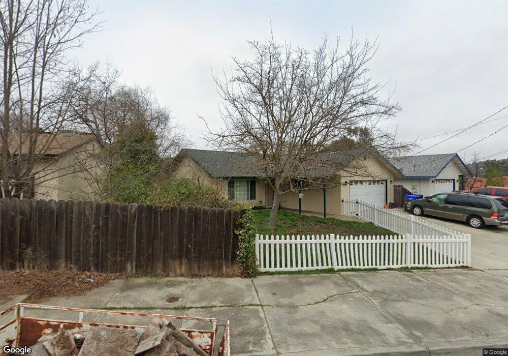
5070 Traffic Way Atascadero, CA 93422
Estimated Value: $633,000 - $669,000
3
Beds
2
Baths
1,200
Sq Ft
$536/Sq Ft
Est. Value
About This Home
This home is located at 5070 Traffic Way, Atascadero, CA 93422 and is currently estimated at $643,299, approximately $536 per square foot. 5070 Traffic Way is a home located in San Luis Obispo County with nearby schools including San Benito Elementary School, Atascadero Middle School, and Atascadero High School.
Ownership History
Date
Name
Owned For
Owner Type
Purchase Details
Closed on
May 27, 2004
Sold by
Hunt Mathew D and Hunt Cassandra N
Bought by
Shaffer Curtis J and Shaffer Jessica
Current Estimated Value
Home Financials for this Owner
Home Financials are based on the most recent Mortgage that was taken out on this home.
Original Mortgage
$294,400
Outstanding Balance
$142,658
Interest Rate
5.87%
Mortgage Type
Purchase Money Mortgage
Estimated Equity
$500,641
Purchase Details
Closed on
Mar 28, 1995
Sold by
Gearhart Kelly V
Bought by
Hunt Mathew D and Hunt Cassandra N
Home Financials for this Owner
Home Financials are based on the most recent Mortgage that was taken out on this home.
Original Mortgage
$116,910
Interest Rate
8.81%
Create a Home Valuation Report for This Property
The Home Valuation Report is an in-depth analysis detailing your home's value as well as a comparison with similar homes in the area
Home Values in the Area
Average Home Value in this Area
Purchase History
| Date | Buyer | Sale Price | Title Company |
|---|---|---|---|
| Shaffer Curtis J | $368,000 | Fidelity Title Company | |
| Hunt Mathew D | $130,000 | Chicago Title Company |
Source: Public Records
Mortgage History
| Date | Status | Borrower | Loan Amount |
|---|---|---|---|
| Open | Shaffer Curtis J | $294,400 | |
| Previous Owner | Hunt Mathew D | $116,910 | |
| Closed | Shaffer Curtis J | $73,600 |
Source: Public Records
Tax History Compared to Growth
Tax History
| Year | Tax Paid | Tax Assessment Tax Assessment Total Assessment is a certain percentage of the fair market value that is determined by local assessors to be the total taxable value of land and additions on the property. | Land | Improvement |
|---|---|---|---|---|
| 2025 | $6,280 | $523,199 | $284,348 | $238,851 |
| 2024 | $6,277 | $512,941 | $278,773 | $234,168 |
| 2023 | $6,277 | $502,884 | $273,307 | $229,577 |
| 2022 | $6,114 | $493,025 | $267,949 | $225,076 |
| 2021 | $5,927 | $483,359 | $262,696 | $220,663 |
| 2020 | $5,321 | $436,000 | $235,000 | $201,000 |
| 2019 | $5,136 | $425,000 | $230,000 | $195,000 |
| 2018 | $4,866 | $405,000 | $220,000 | $185,000 |
| 2017 | $4,695 | $390,000 | $210,000 | $180,000 |
| 2016 | $4,147 | $342,000 | $190,000 | $152,000 |
| 2015 | $3,895 | $320,000 | $175,000 | $145,000 |
| 2014 | $3,454 | $302,000 | $165,000 | $137,000 |
Source: Public Records
Map
Nearby Homes
- 4960 Alamo Ave
- 4835 Miramon Ave
- 4790 Miramon Ave
- 5270 Alamo Ave
- 4725 Miramon Ave
- 5985 Dolores Ave
- 5401 Capistrano Ave
- 4530 San Jacinto Ave
- 4490 San Jacinto Ave
- 4940 Arizona Ave
- 4520 Mananita Ave
- 5580 Traffic Way Unit 11
- 5580 Traffic Way Unit 9
- 5580 Traffic Way Unit 3
- 5355 El Verano Ave
- 5525 Capistrano Ave Unit 20
- 5525 Capistrano Ave Unit 41
- 4330 Nogales Ave
- 4080 Dolores Ave
- 5955 Traffic Way
- 5085 Alamo Ave Unit A,B,C
- 5085 Alamo Ave
- 5050 Traffic Way
- 5405 Alamo Ave
- 5045 Alamo Ave
- 4985 Rosario Ave
- 5075 Traffic Way
- 5075 Traffic Way Unit A
- 5075 Traffic Way Unit B
- 5040 Alamo Ave
- 4975 Rosario Ave
- 4995 Rosario Ave
- 5100 Traffic Way
- 5105 Traffic Way
- 5105 Traffic Way Unit 1
- 5115 Traffic Way Unit 2
- 5014 Alamo Ave
- 5145 Traffic Way
- 5110 Traffic Way
- 5005 Rosario Ave