508 Carter Dr Northfield, MN 55057
Estimated Value: $359,620 - $454,000
3
Beds
2
Baths
1,105
Sq Ft
$357/Sq Ft
Est. Value
About This Home
This home is located at 508 Carter Dr, Northfield, MN 55057 and is currently estimated at $394,155, approximately $356 per square foot. 508 Carter Dr is a home located in Rice County with nearby schools including Bridgewater Elementary School, Northfield Middle School, and Northfield Senior High School.
Ownership History
Date
Name
Owned For
Owner Type
Purchase Details
Closed on
Nov 5, 2004
Sold by
Eschen Christopher J and Eschen Laura J
Bought by
Heinritz Ryan M and Heinritz Amanda J
Current Estimated Value
Purchase Details
Closed on
Apr 20, 1999
Sold by
Jasnoch Construction Inc
Bought by
Eschen Christopher J and Patzer Laura J
Purchase Details
Closed on
Sep 9, 1998
Sold by
Jasnoch Family Ltd Partnership
Bought by
Jasnoch Construction Inc
Create a Home Valuation Report for This Property
The Home Valuation Report is an in-depth analysis detailing your home's value as well as a comparison with similar homes in the area
Home Values in the Area
Average Home Value in this Area
Purchase History
| Date | Buyer | Sale Price | Title Company |
|---|---|---|---|
| Heinritz Ryan M | $235,000 | -- | |
| Eschen Christopher J | $155,972 | -- | |
| Jasnoch Construction Inc | $35,000 | -- |
Source: Public Records
Tax History Compared to Growth
Tax History
| Year | Tax Paid | Tax Assessment Tax Assessment Total Assessment is a certain percentage of the fair market value that is determined by local assessors to be the total taxable value of land and additions on the property. | Land | Improvement |
|---|---|---|---|---|
| 2025 | $5,574 | $337,200 | $89,500 | $247,700 |
| 2024 | $5,574 | $314,600 | $83,000 | $231,600 |
| 2023 | $4,426 | $314,600 | $83,000 | $231,600 |
| 2022 | $3,978 | $282,300 | $74,300 | $208,000 |
| 2021 | $3,908 | $249,000 | $63,300 | $185,700 |
| 2020 | $3,824 | $241,600 | $63,300 | $178,300 |
| 2019 | $3,554 | $232,300 | $61,200 | $171,100 |
| 2018 | $3,374 | $214,800 | $56,600 | $158,200 |
| 2017 | $3,040 | $201,600 | $52,400 | $149,200 |
| 2016 | $2,948 | $198,200 | $52,400 | $145,800 |
| 2015 | $2,856 | $184,400 | $52,400 | $132,000 |
| 2014 | -- | $180,300 | $52,400 | $127,900 |
Source: Public Records
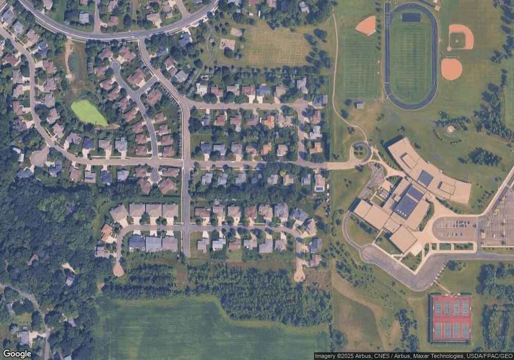
Map
Nearby Homes
- 2220 Greenfield Dr E
- 2200 Greenfield Dr W
- 2116 Park Pointe Dr
- 709 Carter Dr
- 2206 Grant Ct
- 1819 Truman Ct
- XXXX Division St S
- 1741 Roosevelt Dr
- 1707 Jackson Ct
- 2004 Lincoln St S
- 1513 Senate Ln
- 318 Ford St E
- 402 Ford St E
- 406 Ford St E
- 421 Ford St E
- 1603 Washington St
- 425 Ford St E
- 414 Ford St E
- 422 Ford St E
- 1301 Presidential Dr
- 512 Carter Dr
- 504 Carter Dr
- 2215 Greenfield Dr E
- 2221 Greenfield Dr E
- 2213 Greenfield Dr E
- 600 Carter Dr
- 500 Carter Dr
- 509 Carter Dr
- 2225 Greenfield Dr E
- 505 Carter Dr
- 513 Carter Dr
- 2207 Greenfield Dr E
- 501 Carter Dr
- 416 Carter Dr
- 601 Carter Dr
- 604 Carter Dr
- 2229 Greenfield Dr E
- 2205 Greenfield Dr E
- 508 Hayes Dr
- 504 Hayes Dr