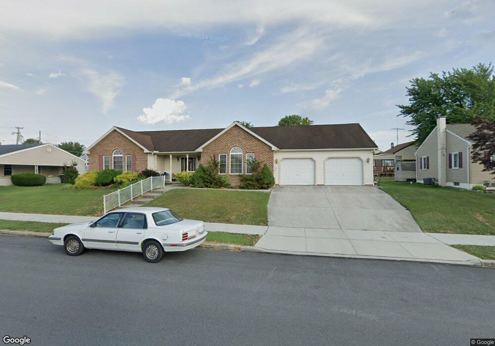
508 Delone Ave Unit 2 Mc Sherrystown, PA 17344
Estimated Value: $302,000 - $361,762
3
Beds
2
Baths
1,962
Sq Ft
$166/Sq Ft
Est. Value
About This Home
This home is located at 508 Delone Ave Unit 2, Mc Sherrystown, PA 17344 and is currently estimated at $326,441, approximately $166 per square foot. 508 Delone Ave Unit 2 is a home located in Adams County with nearby schools including New Oxford Senior High School, St. Teresa of Calcutta Catholic School - McSherrystown Campus, and St. Teresa of Calcutta Catholic School - Conewago Campus.
Ownership History
Date
Name
Owned For
Owner Type
Purchase Details
Closed on
May 26, 2015
Sold by
Klunk Timothy L
Bought by
Klunk Timothy L and The Timothy L Klunk Revocable Trust
Current Estimated Value
Purchase Details
Closed on
Jun 30, 2011
Sold by
Klunk Timothy L and Klunk Teresa L
Bought by
Klunk Timothy L
Home Financials for this Owner
Home Financials are based on the most recent Mortgage that was taken out on this home.
Original Mortgage
$105,000
Interest Rate
4.2%
Mortgage Type
New Conventional
Create a Home Valuation Report for This Property
The Home Valuation Report is an in-depth analysis detailing your home's value as well as a comparison with similar homes in the area
Home Values in the Area
Average Home Value in this Area
Purchase History
| Date | Buyer | Sale Price | Title Company |
|---|---|---|---|
| Klunk Timothy L | -- | None Available | |
| Klunk Timothy L | -- | None Available |
Source: Public Records
Mortgage History
| Date | Status | Borrower | Loan Amount |
|---|---|---|---|
| Previous Owner | Klunk Timothy L | $105,000 |
Source: Public Records
Tax History Compared to Growth
Tax History
| Year | Tax Paid | Tax Assessment Tax Assessment Total Assessment is a certain percentage of the fair market value that is determined by local assessors to be the total taxable value of land and additions on the property. | Land | Improvement |
|---|---|---|---|---|
| 2025 | $6,993 | $268,300 | $36,500 | $231,800 |
| 2024 | $6,502 | $268,300 | $36,500 | $231,800 |
| 2023 | $6,188 | $268,300 | $36,500 | $231,800 |
| 2022 | $6,013 | $268,300 | $36,500 | $231,800 |
| 2021 | $5,737 | $268,300 | $36,500 | $231,800 |
| 2020 | $5,610 | $268,300 | $36,500 | $231,800 |
| 2019 | $5,502 | $268,300 | $36,500 | $231,800 |
| 2018 | $5,393 | $268,300 | $36,500 | $231,800 |
| 2017 | $5,185 | $268,300 | $36,500 | $231,800 |
| 2016 | -- | $268,300 | $36,500 | $231,800 |
| 2015 | -- | $269,200 | $37,400 | $231,800 |
| 2014 | -- | $269,200 | $37,400 | $231,800 |
Source: Public Records
Map
Nearby Homes
- 535 South St
- 417 Main St
- 337 2 Main
- 618 North St
- 617 N Blettner Ave Unit 120
- 718 Linden Ave
- 335 North St
- 10 Bear Cir Unit 29
- 303 Ridge Ave
- 303 Puma Dr Unit 22
- 129 Main St
- 1012 W Elm Ave
- 213 S Madison St
- 253 Vincent Dr Unit 87
- 85 South St
- 254 Princess St
- 46 Flint Dr
- 54 Flint Dr
- 221 Princess St
- 463 4631/2 High St
- 502 Delone Ave
- 211 S 5th St
- 212 Center St
- 516 Delone Ave
- 214 Center St
- 217 S 5th St
- 216 Center St Unit 4
- 505 Delone Ave
- 211 Center St Unit 13
- 520 Delone Ave Unit 1
- 424 Delone Ave Unit 32
- 509 Delone Ave
- 501 Delone Ave
- 213 Center St
- 511 Delone Ave Unit 1
- 219 S 5th St
- 517 Delone Ave
- 218 Center St
- 215 Center St
- 220 S 5th St