Estimated Value: $1,316,000 - $1,467,770
5
Beds
--
Bath
3,400
Sq Ft
$413/Sq Ft
Est. Value
About This Home
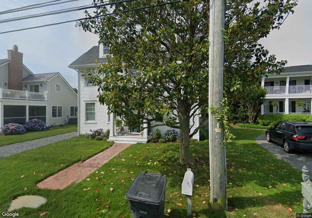
This home is located at 508 Pilottown Rd, Lewes, DE 19958 and is currently estimated at $1,405,443, approximately $413 per square foot. 508 Pilottown Rd is a home located in Sussex County with nearby schools including Lewes Elementary School, Mariner Middle School, and Cape Henlopen High School.
Ownership History
Date
Name
Owned For
Owner Type
Purchase Details
Closed on
Nov 10, 2020
Sold by
Brooks Deborah W and Brooks Jeffrey G
Bought by
First State Folly Llc
Current Estimated Value
Purchase Details
Closed on
Aug 14, 2020
Sold by
Colletta-Reihm Reihm G and Colletta-Reihm Joanne
Bought by
Brooks Deborah W and Brooks Jeffrey S
Home Financials for this Owner
Home Financials are based on the most recent Mortgage that was taken out on this home.
Original Mortgage
$808,000
Interest Rate
2.9%
Mortgage Type
Stand Alone Refi Refinance Of Original Loan
Purchase Details
Closed on
Sep 11, 1991
Bought by
Joanne Reihm G and Joanne Colletta Rei
Create a Home Valuation Report for This Property
The Home Valuation Report is an in-depth analysis detailing your home's value as well as a comparison with similar homes in the area
Home Values in the Area
Average Home Value in this Area
Purchase History
| Date | Buyer | Sale Price | Title Company |
|---|---|---|---|
| First State Folly Llc | -- | None Available | |
| Brooks Deborah W | $1,010,000 | None Available | |
| Joanne Reihm G | $200,000 | -- |
Source: Public Records
Mortgage History
| Date | Status | Borrower | Loan Amount |
|---|---|---|---|
| Previous Owner | Brooks Deborah W | $808,000 |
Source: Public Records
Tax History Compared to Growth
Tax History
| Year | Tax Paid | Tax Assessment Tax Assessment Total Assessment is a certain percentage of the fair market value that is determined by local assessors to be the total taxable value of land and additions on the property. | Land | Improvement |
|---|---|---|---|---|
| 2025 | $2,002 | $28,500 | $3,850 | $24,650 |
| 2024 | $1,846 | $28,500 | $3,850 | $24,650 |
| 2023 | $1,844 | $28,500 | $3,850 | $24,650 |
| 2022 | $1,355 | $28,500 | $3,850 | $24,650 |
| 2021 | $1,342 | $28,500 | $3,850 | $24,650 |
| 2020 | $1,338 | $28,500 | $3,850 | $24,650 |
| 2019 | $1,340 | $28,500 | $3,850 | $24,650 |
| 2018 | $1,252 | $28,500 | $0 | $0 |
| 2017 | $1,199 | $28,500 | $0 | $0 |
| 2016 | $1,138 | $28,500 | $0 | $0 |
| 2015 | $1,088 | $28,500 | $0 | $0 |
| 2014 | $1,080 | $28,500 | $0 | $0 |
Source: Public Records
Map
Nearby Homes
- 131 New Rd
- 157 Tyler's Cir Unit 15
- 165 Tyler's Cir
- The Bethany Plan at Fisher's Cove
- Cassidy Plan at Fisher's Cove
- 1710 Bay Ave
- 159 Tylers Cir Unit 14
- 310 Burton Ave Unit A
- 149 Jacks Way Unit 18
- 5 Clayton Ave
- 422 Burton Ave
- 4 Clayton Ave
- 240 2nd St
- 228 2nd St
- 225 2nd St
- Lot 4 Mulberry St
- Lot 3 Mulberry St
- 322 Captains Cir
- Lot 3 N Mulberry St
- 325 Captains Cir