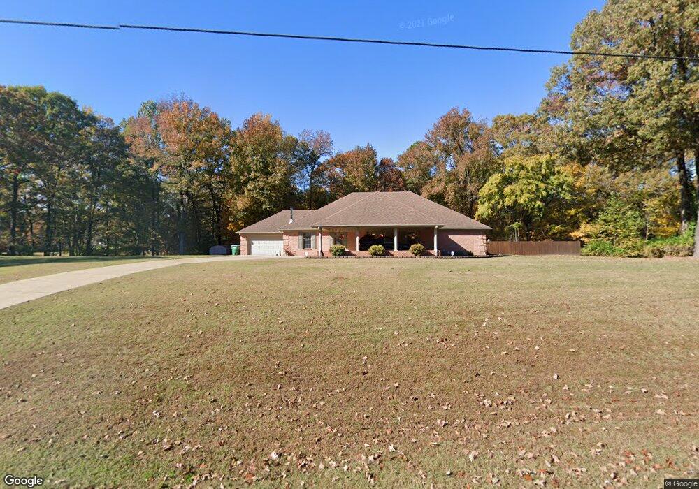
5083 Mccracken Rd Hernando, MS 38632
Estimated Value: $384,000 - $457,000
3
Beds
2
Baths
2,280
Sq Ft
$187/Sq Ft
Est. Value
About This Home
This home is located at 5083 Mccracken Rd, Hernando, MS 38632 and is currently estimated at $427,075, approximately $187 per square foot. 5083 Mccracken Rd is a home located in DeSoto County with nearby schools including Oak Grove Central Elementary School, Hernando Elementary School, and Hernando Hills Elementary.
Ownership History
Date
Name
Owned For
Owner Type
Purchase Details
Closed on
Jul 3, 2008
Sold by
Hale Mary Ann Miley
Bought by
Bryant Charles S and Bryant Janet Rae
Current Estimated Value
Home Financials for this Owner
Home Financials are based on the most recent Mortgage that was taken out on this home.
Original Mortgage
$135,000
Outstanding Balance
$86,006
Interest Rate
6.08%
Mortgage Type
Purchase Money Mortgage
Estimated Equity
$341,069
Create a Home Valuation Report for This Property
The Home Valuation Report is an in-depth analysis detailing your home's value as well as a comparison with similar homes in the area
Home Values in the Area
Average Home Value in this Area
Purchase History
| Date | Buyer | Sale Price | Title Company |
|---|---|---|---|
| Bryant Charles S | -- | First National Financial Tit |
Source: Public Records
Mortgage History
| Date | Status | Borrower | Loan Amount |
|---|---|---|---|
| Open | Bryant Charles S | $135,000 |
Source: Public Records
Tax History
| Year | Tax Paid | Tax Assessment Tax Assessment Total Assessment is a certain percentage of the fair market value that is determined by local assessors to be the total taxable value of land and additions on the property. | Land | Improvement |
|---|---|---|---|---|
| 2025 | $1,830 | $25,512 | $3,130 | $22,382 |
| 2024 | $1,535 | $18,173 | $3,130 | $15,043 |
| 2023 | $1,535 | $18,173 | $0 | $0 |
| 2022 | $1,535 | $18,173 | $3,130 | $15,043 |
| 2021 | $1,535 | $18,173 | $3,130 | $15,043 |
| 2020 | $1,414 | $16,970 | $0 | $0 |
| 2019 | $1,414 | $16,970 | $3,130 | $13,840 |
| 2017 | $1,360 | $29,514 | $16,322 | $13,192 |
| 2016 | $1,360 | $16,322 | $3,130 | $13,192 |
| 2015 | $1,660 | $29,514 | $16,322 | $13,192 |
| 2014 | $1,360 | $16,322 | $0 | $0 |
| 2013 | $1,439 | $16,322 | $0 | $0 |
Source: Public Records
Map
Nearby Homes
- 809 Green Acres Dr
- 5665 McIngvale Rd
- 5042 Sophia Ln
- 5064 Sophia Ln
- 5441 Grays Valley Dr
- 568 Woodford Cove W
- 2008 Slocum Rd
- 2195 Breanna Ln
- 5112 Grays Valley Dr
- 0 Ranch Rd
- 2288 Slocum Rd
- 2382 Lauren Way
- 2401 Lauren Way
- 1542 Amy Taylor Dr
- 1384 Pendulum Dr
- 10 Plank Rd
- 2603 Plank Rd
- 1999 Edgewood Blvd
- 3395 Hourglass Dr W
- 3396 Clepsyda Dr
- 960 Green Acres Dr
- 962 Green Acres Dr
- 867 Green Acres Dr
- 5200 Mccracken Rd
- 5066 Mccracken Rd
- 967 Green Acres Dr
- 880 Green Acres Dr
- 870 Green Acres Dr
- 927 Green Acres Dr
- 835 Green Acres Dr
- 5002 Mccracken Rd
- 866 Green Acres Dr
- 873 Green Acres Dr
- 860 Green Acres Dr
- 5272 Mccracken Rd
- 830 Green Acres Dr
- 5281 Mccracken Rd
- 840 Green Acres Dr
- 5004 Mccracken Rd
- 870 Slocum Rd
Your Personal Tour Guide
Ask me questions while you tour the home.