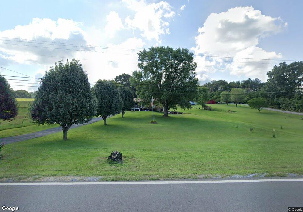
5085 Newport Hwy Unit 1 Greeneville, TN 37743
Estimated Value: $242,902 - $361,000
2
Beds
3
Baths
1,286
Sq Ft
$232/Sq Ft
Est. Value
About This Home
This home is located at 5085 Newport Hwy Unit 1, Greeneville, TN 37743 and is currently estimated at $298,476, approximately $232 per square foot. 5085 Newport Hwy Unit 1 is a home located in Greene County with nearby schools including Nolachuckey Elementary School, South Greene Middle School, and South Greene High School.
Ownership History
Date
Name
Owned For
Owner Type
Purchase Details
Closed on
Nov 21, 2005
Sold by
Cancelado Daniel
Bought by
Mitchell Charles I
Current Estimated Value
Home Financials for this Owner
Home Financials are based on the most recent Mortgage that was taken out on this home.
Original Mortgage
$102,600
Outstanding Balance
$56,216
Interest Rate
6.04%
Estimated Equity
$242,260
Purchase Details
Closed on
Jul 30, 2004
Sold by
Wooddell Henrietta
Bought by
Cancelado Daniel
Purchase Details
Closed on
Mar 29, 2001
Sold by
Clark Patsy R
Bought by
Wooddell Henrietta
Purchase Details
Closed on
Jan 1, 1984
Create a Home Valuation Report for This Property
The Home Valuation Report is an in-depth analysis detailing your home's value as well as a comparison with similar homes in the area
Home Values in the Area
Average Home Value in this Area
Purchase History
| Date | Buyer | Sale Price | Title Company |
|---|---|---|---|
| Mitchell Charles I | $114,000 | -- | |
| Cancelado Daniel | $102,000 | -- | |
| Wooddell Henrietta | $82,000 | -- | |
| -- | $52,500 | -- |
Source: Public Records
Mortgage History
| Date | Status | Borrower | Loan Amount |
|---|---|---|---|
| Open | -- | $102,600 |
Source: Public Records
Tax History Compared to Growth
Tax History
| Year | Tax Paid | Tax Assessment Tax Assessment Total Assessment is a certain percentage of the fair market value that is determined by local assessors to be the total taxable value of land and additions on the property. | Land | Improvement |
|---|---|---|---|---|
| 2024 | $875 | $53,050 | $6,950 | $46,100 |
| 2023 | $875 | $53,050 | $0 | $0 |
| 2022 | $604 | $30,000 | $4,650 | $25,350 |
| 2021 | $604 | $30,000 | $4,650 | $25,350 |
| 2020 | $604 | $30,000 | $4,650 | $25,350 |
| 2019 | $604 | $30,000 | $4,650 | $25,350 |
| 2018 | $604 | $30,000 | $4,650 | $25,350 |
| 2017 | $580 | $29,400 | $4,750 | $24,650 |
| 2016 | $551 | $29,400 | $4,750 | $24,650 |
| 2015 | $551 | $29,400 | $4,750 | $24,650 |
| 2014 | $551 | $29,400 | $4,750 | $24,650 |
Source: Public Records
Map
Nearby Homes
- 181 Bowers Rd
- 4255 Newport Hwy
- 101 S Hickory Cir
- 6020 Newport Hwy
- 00 Newport Hwy
- 1050 Oregon Trail
- Tbd Warrensburg Rd
- 1405 Lick Hollow Rd
- 255 Birdwell Cir
- 450 Sioux Trail
- 114 Old Kentucky Rd S
- 150 Decatur St
- 887 Old Kentucky Rd S
- 40 Decatur St
- Lots 6-10 Burkey Rd
- Lot 1 Burkey Rd
- Lot 2 Burkey Rd
- 208 Majestic Cir
- 74 Cutshall Ave
- 3822 Asheville Hwy
- 5085 Newport Hwy
- 5090 Newport Hwy
- 5150 Newport Hwy
- 5040 Newport Hwy
- 5195 Newport Hwy
- 5015 Newport Hwy
- 5010 Newport Hwy
- 5190 Newport Hwy
- 5215 Newport Hwy
- 5045 Newport Hwy
- 4985 Newport Hwy
- 4990 Newport Hwy
- 5100 Newport Hwy Unit 5100510
- 5210 Newport Hwy
- 4970 Newport Hwy
- 4955 Newport Hwy
- 4930 Newport Hwy
- 5285 Newport Hwy
- 4950 Newport Hwy
- 4910 Newport Hwy