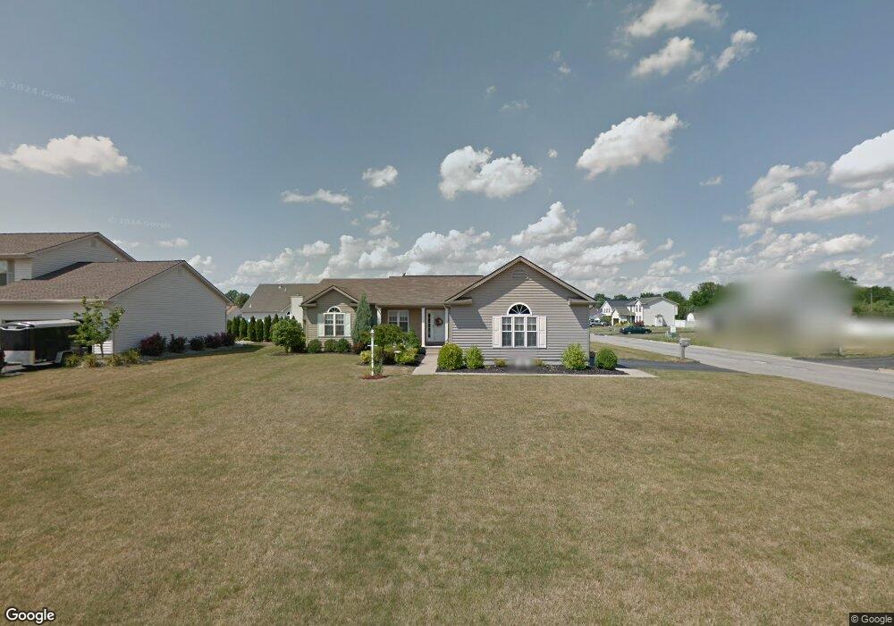
5086 Winslow Dr Mineral Ridge, OH 44440
Austintown NeighborhoodEstimated Value: $247,000 - $288,291
3
Beds
2
Baths
1,816
Sq Ft
$151/Sq Ft
Est. Value
About This Home
This home is located at 5086 Winslow Dr, Mineral Ridge, OH 44440 and is currently estimated at $274,823, approximately $151 per square foot. 5086 Winslow Dr is a home located in Mahoning County with nearby schools including Austintown Elementary School, Austintown Intermediate School, and Austintown Middle School.
Ownership History
Date
Name
Owned For
Owner Type
Purchase Details
Closed on
Mar 5, 2015
Sold by
Cherney Gail I and Szabo Gail I
Bought by
Szabo David A and Szabo Gail I
Current Estimated Value
Purchase Details
Closed on
Apr 29, 2003
Sold by
Bertelli Homes Inc
Bought by
Cherney Gail I
Home Financials for this Owner
Home Financials are based on the most recent Mortgage that was taken out on this home.
Original Mortgage
$73,000
Interest Rate
5.86%
Mortgage Type
Purchase Money Mortgage
Create a Home Valuation Report for This Property
The Home Valuation Report is an in-depth analysis detailing your home's value as well as a comparison with similar homes in the area
Home Values in the Area
Average Home Value in this Area
Purchase History
| Date | Buyer | Sale Price | Title Company |
|---|---|---|---|
| Szabo David A | -- | Attorney | |
| Cherney Gail I | -- | -- |
Source: Public Records
Mortgage History
| Date | Status | Borrower | Loan Amount |
|---|---|---|---|
| Closed | Cherney Gail I | $73,000 |
Source: Public Records
Tax History Compared to Growth
Tax History
| Year | Tax Paid | Tax Assessment Tax Assessment Total Assessment is a certain percentage of the fair market value that is determined by local assessors to be the total taxable value of land and additions on the property. | Land | Improvement |
|---|---|---|---|---|
| 2024 | $3,608 | $78,840 | $6,650 | $72,190 |
| 2023 | $3,551 | $78,840 | $6,650 | $72,190 |
| 2022 | $3,257 | $57,970 | $6,650 | $51,320 |
| 2021 | $3,258 | $57,970 | $6,650 | $51,320 |
| 2020 | $3,272 | $57,970 | $6,650 | $51,320 |
| 2019 | $3,200 | $51,660 | $6,650 | $45,010 |
| 2018 | $3,079 | $51,660 | $6,650 | $45,010 |
| 2017 | $3,076 | $51,660 | $6,650 | $45,010 |
| 2016 | $3,008 | $50,030 | $6,650 | $43,380 |
| 2015 | $2,916 | $50,030 | $6,650 | $43,380 |
| 2014 | $2,930 | $50,030 | $6,650 | $43,380 |
| 2013 | $2,898 | $50,030 | $6,650 | $43,380 |
Source: Public Records
Map
Nearby Homes
- 5085 Winslow Dr
- 1239 Woodledge Dr
- 0 W Webb Rd
- 1684 Morris St
- 1467 E County Line Rd
- 1445 E County Line Rd
- 21 E Liberty St
- 645 Carlin Dr
- 3872 Main St
- 3907 Edwards St
- 3579 Bee St
- 0 W Liberty Unit 5153649
- 4028 Lanterman Rd
- 4020 Lanterman Rd
- 3474 S Main St
- 6360 Meander Glen Dr
- 2555 Walnut St
- 5231 W Rockwell Rd
- 6393 Meander Glen Dr
- 176 N Canfield Niles Rd
- 5090 Winslow Dr
- V/L Mulberry Run
- 1241 Mulberry Run
- 5103 Clearfield Dr
- 5094 Winslow Dr
- 1233 Mulberry Run
- 5107 Clearfield Dr
- 1225 Mulberry Run
- 5089 Winslow Dr
- 1249 Mulberry Run
- 5111 Clearfield Dr
- 5098 Winslow Dr
- 1217 Mulberry Run
- 5093 Winslow Dr
- 5115 Clearfield Dr
- 5097 Winslow Dr
- 5102 Winslow Dr
- 5088 Cranberry Dr
- 5104 Clearfield Dr
- 1265 Mulberry Run