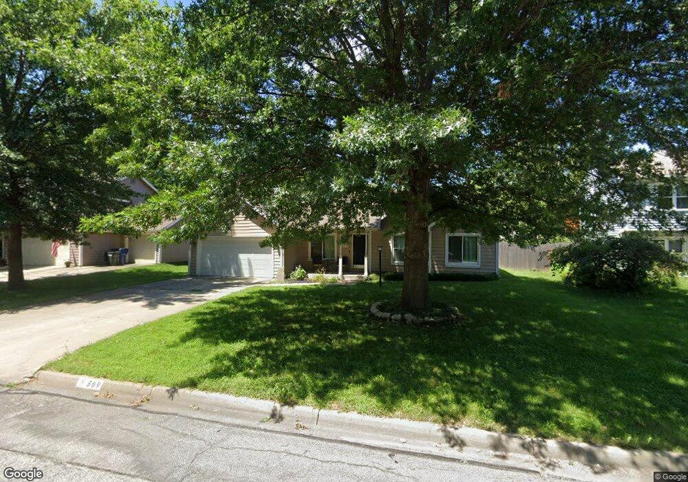
509 Lone Tree Rd Lawrence, KS 66044
Estimated Value: $314,000 - $347,000
3
Beds
2
Baths
2,072
Sq Ft
$159/Sq Ft
Est. Value
About This Home
This home is located at 509 Lone Tree Rd, Lawrence, KS 66044 and is currently estimated at $329,026, approximately $158 per square foot. 509 Lone Tree Rd is a home located in Douglas County with nearby schools including Deerfield Elementary School, West Middle School, and Lawrence Free State High School.
Ownership History
Date
Name
Owned For
Owner Type
Purchase Details
Closed on
May 8, 2013
Sold by
Mcgrew Real Estate Inc
Bought by
Carver Aaron and Carver Sarah K
Current Estimated Value
Home Financials for this Owner
Home Financials are based on the most recent Mortgage that was taken out on this home.
Original Mortgage
$161,020
Outstanding Balance
$113,586
Interest Rate
3.38%
Mortgage Type
New Conventional
Estimated Equity
$215,440
Purchase Details
Closed on
May 5, 2006
Sold by
Flynn Patrick J
Bought by
Rawls Thaddis and Rawls Whitney
Home Financials for this Owner
Home Financials are based on the most recent Mortgage that was taken out on this home.
Original Mortgage
$165,000
Interest Rate
8.59%
Mortgage Type
Fannie Mae Freddie Mac
Create a Home Valuation Report for This Property
The Home Valuation Report is an in-depth analysis detailing your home's value as well as a comparison with similar homes in the area
Home Values in the Area
Average Home Value in this Area
Purchase History
| Date | Buyer | Sale Price | Title Company |
|---|---|---|---|
| Carver Aaron | -- | First American Title | |
| Rawls Thaddis | -- | Commerce Title |
Source: Public Records
Mortgage History
| Date | Status | Borrower | Loan Amount |
|---|---|---|---|
| Open | Carver Aaron | $161,020 | |
| Previous Owner | Rawls Thaddis | $165,000 |
Source: Public Records
Tax History Compared to Growth
Tax History
| Year | Tax Paid | Tax Assessment Tax Assessment Total Assessment is a certain percentage of the fair market value that is determined by local assessors to be the total taxable value of land and additions on the property. | Land | Improvement |
|---|---|---|---|---|
| 2025 | $4,518 | $36,582 | $8,050 | $28,532 |
| 2024 | $4,345 | $35,213 | $7,475 | $27,738 |
| 2023 | $4,184 | $32,649 | $6,900 | $25,749 |
| 2022 | $3,657 | $28,405 | $4,600 | $23,805 |
| 2021 | $3,386 | $25,415 | $4,368 | $21,047 |
| 2020 | $3,187 | $24,058 | $4,368 | $19,690 |
| 2019 | $3,009 | $22,758 | $3,798 | $18,960 |
| 2018 | $2,843 | $21,364 | $3,571 | $17,793 |
| 2017 | $2,819 | $20,953 | $3,571 | $17,382 |
| 2016 | $2,549 | $19,814 | $4,028 | $15,786 |
| 2015 | $2,455 | $19,090 | $4,028 | $15,062 |
| 2014 | $2,431 | $19,090 | $4,028 | $15,062 |
Source: Public Records
Map
Nearby Homes
- 1754 E 1310 Rd
- 2321 Brett Dr
- 255 N Michigan St Unit 100
- 255 N Michigan St Unit 11-60
- 1317 Sunchase Dr
- 2537 Stowe Dr
- 528 Durham Ct
- 121 Florida St
- 515 McDonald Dr
- 302 Providence Rd
- 3112 Sherwood Dr
- 347 Florida St
- 3413 Sweetgrass Ct
- 3220 Creekwood Dr
- 3001 Longhorn Dr
- Lot 2 Peterson Rd
- 110 Glenview Dr
- 3129 Ranger Dr
- Lot 5 Weatherhill Cir
- 3508 Prairie Clover Ct
- 509 Lone Tree Dr
- 513 Lone Tree Rd
- 505 Lone Tree Rd
- 501 Lone Tree Rd
- 504 Lone Tree Rd
- 2011 River Ridge Rd Unit B
- 2011 River Ridge Rd Unit A
- 2011 River Ridge Rd Unit C
- 508 Lone Tree Rd
- 500 Lone Tree Rd
- 500 Lone Tree Dr
- 512 Lone Tree Rd
- 512 Lone Tree Dr
- 1929 Golden Rain Dr
- 1912 Golden Rain Dr
- 1925 Golden Rain Dr
- 1909 River Ridge Rd
- 1921 Golden Rain Dr
- 1908 Golden Rain Dr
- 450 N Iowa St