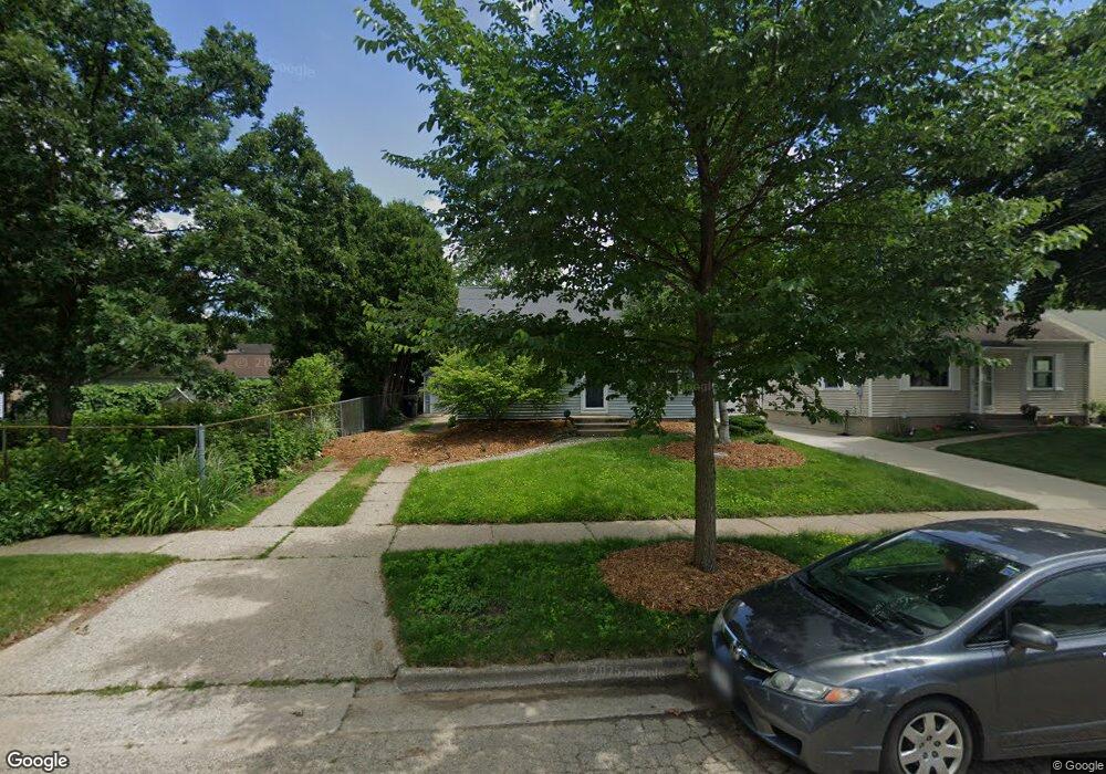
509 Ring St Madison, WI 53714
Eastmorland NeighborhoodEstimated Value: $311,404 - $329,000
2
Beds
1
Bath
1,070
Sq Ft
$299/Sq Ft
Est. Value
About This Home
This home is located at 509 Ring St, Madison, WI 53714 and is currently estimated at $320,351, approximately $299 per square foot. 509 Ring St is a home located in Dane County with nearby schools including Schenk Elementary School, Whitehorse Middle School, and La Follette High School.
Ownership History
Date
Name
Owned For
Owner Type
Purchase Details
Closed on
Jun 25, 2021
Sold by
Okeefe Dennis M and Okeefe Lynn V
Bought by
Butler Olivia
Current Estimated Value
Home Financials for this Owner
Home Financials are based on the most recent Mortgage that was taken out on this home.
Original Mortgage
$191,520
Outstanding Balance
$173,775
Interest Rate
2.9%
Mortgage Type
New Conventional
Estimated Equity
$146,576
Purchase Details
Closed on
Aug 15, 2011
Sold by
Togstad Thomas H and Togstad Emily
Bought by
Okeefe Dennis M and Okeefe Lynn V
Create a Home Valuation Report for This Property
The Home Valuation Report is an in-depth analysis detailing your home's value as well as a comparison with similar homes in the area
Home Values in the Area
Average Home Value in this Area
Purchase History
| Date | Buyer | Sale Price | Title Company |
|---|---|---|---|
| Butler Olivia | $239,400 | None Available | |
| Okeefe Dennis M | $157,000 | None Available |
Source: Public Records
Mortgage History
| Date | Status | Borrower | Loan Amount |
|---|---|---|---|
| Open | Butler Olivia | $191,520 |
Source: Public Records
Tax History
| Year | Tax Paid | Tax Assessment Tax Assessment Total Assessment is a certain percentage of the fair market value that is determined by local assessors to be the total taxable value of land and additions on the property. | Land | Improvement |
|---|---|---|---|---|
| 2024 | $9,853 | $283,000 | $65,400 | $217,600 |
| 2023 | $4,829 | $269,000 | $62,300 | $206,700 |
| 2022 | $9,813 | $251,900 | $54,800 | $197,100 |
| 2021 | $4,816 | $228,000 | $54,800 | $173,200 |
| 2020 | $4,621 | $209,200 | $50,300 | $158,900 |
| 2019 | $4,460 | $201,200 | $48,400 | $152,800 |
| 2018 | $4,080 | $184,600 | $48,400 | $136,200 |
| 2017 | $3,945 | $172,500 | $44,000 | $128,500 |
| 2016 | $3,679 | $156,800 | $40,000 | $116,800 |
| 2015 | $3,573 | $146,400 | $40,000 | $106,400 |
| 2014 | $3,469 | $146,400 | $40,000 | $106,400 |
| 2013 | $3,418 | $143,500 | $40,000 | $103,500 |
Source: Public Records
Map
Nearby Homes
- 3830 Dennett Dr
- 3841 Margaret St
- 835 Silas St
- 129 Walter St
- 3606 Atwood Ave
- 137 Belmont Rd
- 3401 Dawes St Unit 1
- 4204 Elinor St
- 4130 Alvarez Ave
- 518 Bowman Ave
- 4162 Alvarez Ave
- 4309 Portland Pkwy
- 305 Belmont Rd
- 4525 Martha Ln
- 125 Cameo Ln
- 206 Dixon St
- 256 Waubesa St
- Lot 3 Bellevine Ct
- 2 Meadowlark Dr
- 21 Meadowlark Dr