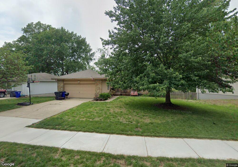
509 S Stevenson St Olathe, KS 66061
Estimated Value: $290,039 - $318,000
3
Beds
2
Baths
1,276
Sq Ft
$239/Sq Ft
Est. Value
About This Home
This home is located at 509 S Stevenson St, Olathe, KS 66061 and is currently estimated at $304,510, approximately $238 per square foot. 509 S Stevenson St is a home located in Johnson County with nearby schools including Central Elementary School, Oregon Trail Middle School, and Olathe North Sr High School.
Ownership History
Date
Name
Owned For
Owner Type
Purchase Details
Closed on
Jul 21, 2008
Sold by
Gross David W and Gross David William
Bought by
Bryant Michael W and Bryant Jeanne A
Current Estimated Value
Home Financials for this Owner
Home Financials are based on the most recent Mortgage that was taken out on this home.
Original Mortgage
$162,450
Outstanding Balance
$106,331
Interest Rate
6.36%
Mortgage Type
FHA
Estimated Equity
$198,179
Purchase Details
Closed on
Apr 14, 2006
Sold by
Gross Helen Elizabeth
Bought by
Gross David William and Gross Teresa Gayle
Create a Home Valuation Report for This Property
The Home Valuation Report is an in-depth analysis detailing your home's value as well as a comparison with similar homes in the area
Home Values in the Area
Average Home Value in this Area
Purchase History
| Date | Buyer | Sale Price | Title Company |
|---|---|---|---|
| Bryant Michael W | -- | Chicago Title Ins Co | |
| Gross David William | -- | None Available |
Source: Public Records
Mortgage History
| Date | Status | Borrower | Loan Amount |
|---|---|---|---|
| Open | Bryant Michael W | $162,450 |
Source: Public Records
Tax History Compared to Growth
Tax History
| Year | Tax Paid | Tax Assessment Tax Assessment Total Assessment is a certain percentage of the fair market value that is determined by local assessors to be the total taxable value of land and additions on the property. | Land | Improvement |
|---|---|---|---|---|
| 2024 | $3,037 | $27,565 | $4,218 | $23,347 |
| 2023 | $2,876 | $25,403 | $4,218 | $21,185 |
| 2022 | $2,695 | $23,161 | $3,835 | $19,326 |
| 2021 | $2,724 | $22,161 | $3,486 | $18,675 |
| 2020 | $2,625 | $21,171 | $3,168 | $18,003 |
| 2019 | $2,469 | $19,803 | $2,753 | $17,050 |
| 2018 | $2,112 | $18,572 | $2,502 | $16,070 |
| 2017 | $2,185 | $17,250 | $2,502 | $14,748 |
| 2016 | $2,066 | $16,744 | $2,502 | $14,242 |
| 2015 | $1,894 | $15,387 | $2,502 | $12,885 |
| 2013 | -- | $14,398 | $2,272 | $12,126 |
Source: Public Records
Map
Nearby Homes
- 515 E Sheridan St
- 321 S Wabash Cir
- 401 S Harrison St
- 335 S Water St
- 721 S Chestnut St
- 706 S Kansas Ave
- 519 E Cedar St
- 336 E Park St
- 510 E Park St
- 420 S Church St
- 224 S Church St
- 1001 E Cedar St
- 617 S Grant St
- 600 W Elm St
- 1008 E Fredrickson Dr
- 1012 E Fredrickson Dr
- 507 W Park St
- 501 E Spruce St
- 1113 E Cedar St
- 908 S Hunter Dr
- 505 S Stevenson St
- 513 S Stevenson St
- 517 S Stevenson St
- 501 S Stevenson St
- 510 S Stevenson St
- 512 S Stevenson St
- 508 S Stevenson St
- 521 S Stevenson St
- 516 S Stevenson St
- 500 S Stevenson St
- 520 S Stevenson St
- 525 S Stevenson St
- 509 E Grace Terrace
- 524 S Stevenson St
- 513 E Grace Terrace
- 517 E Grace Terrace
- 505 E Grace Terrace
- 601 S Stevenson St
- 600 S Stevenson St
- 525 E Grace Terrace