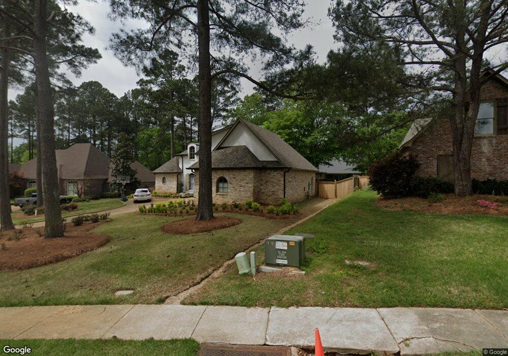
509 Silverstone Dr Madison, MS 39110
Estimated Value: $538,961 - $631,000
5
Beds
5
Baths
3,966
Sq Ft
$151/Sq Ft
Est. Value
About This Home
This home is located at 509 Silverstone Dr, Madison, MS 39110 and is currently estimated at $598,240, approximately $150 per square foot. 509 Silverstone Dr is a home located in Madison County with nearby schools including Madison Avenue Upper Elementary School, Madison Avenue Elementary, and Madison Middle School.
Ownership History
Date
Name
Owned For
Owner Type
Purchase Details
Closed on
Apr 14, 2022
Sold by
Majithia Deepika
Bought by
Shelton Ruston and Shelton Katherine
Current Estimated Value
Home Financials for this Owner
Home Financials are based on the most recent Mortgage that was taken out on this home.
Original Mortgage
$418,500
Outstanding Balance
$112,101
Interest Rate
3.76%
Mortgage Type
New Conventional
Estimated Equity
$486,139
Purchase Details
Closed on
Oct 29, 2010
Sold by
Majithia Vikas and Majithia Deepika
Bought by
Majithia Deepika
Create a Home Valuation Report for This Property
The Home Valuation Report is an in-depth analysis detailing your home's value as well as a comparison with similar homes in the area
Home Values in the Area
Average Home Value in this Area
Purchase History
| Date | Buyer | Sale Price | Title Company |
|---|---|---|---|
| Shelton Ruston | -- | White Albert Bozeman | |
| Majithia Deepika | -- | None Available |
Source: Public Records
Mortgage History
| Date | Status | Borrower | Loan Amount |
|---|---|---|---|
| Open | Shelton Ruston | $418,500 |
Source: Public Records
Tax History
| Year | Tax Paid | Tax Assessment Tax Assessment Total Assessment is a certain percentage of the fair market value that is determined by local assessors to be the total taxable value of land and additions on the property. | Land | Improvement |
|---|---|---|---|---|
| 2025 | $6,372 | $54,680 | $0 | $0 |
| 2024 | $6,372 | $54,680 | $0 | $0 |
| 2023 | $6,372 | $54,680 | $0 | $0 |
| 2022 | $6,372 | $54,680 | $0 | $0 |
| 2021 | $6,123 | $52,541 | $0 | $0 |
| 2020 | $6,123 | $52,541 | $0 | $0 |
| 2019 | $6,123 | $52,541 | $0 | $0 |
| 2018 | $6,123 | $52,541 | $0 | $0 |
| 2017 | $6,023 | $51,683 | $0 | $0 |
| 2016 | $6,023 | $51,683 | $0 | $0 |
| 2015 | $5,935 | $50,933 | $0 | $0 |
| 2014 | $5,935 | $50,933 | $0 | $0 |
Source: Public Records
Map
Nearby Homes
- 204 Breezy Hill Dr
- 812 Norwich Dr
- 101 Honey Locust Ct
- 401 Kingsbridge Rd
- 124 Trace Cove Dr
- 180 Wright's Mill Dr
- 171 Cavanaugh Dr
- 108 Frenchmans Cay
- 489 Cheyenne Ln
- 0 Woodbridge Dr Unit 4124242
- 147 Overlook Pointe Dr
- 550 Post Rd Unit 708
- 550 Post Rd Unit 803
- 550 Post Rd Unit 205
- 550 Post Rd Unit 121
- 550 Post Rd Unit 607
- 550 Post Rd Unit 1002
- 111 Hawks Nest Bluff
- 133 Overlook Pointe Dr
- 135 Winter Teal Place
- 513 Silverstone Dr
- 505 Silverstone Dr
- 208 Kingsbridge Rd
- 204 Kingsbridge Rd
- 517 Silverstone Dr
- 212 Kingsbridge Rd
- 200 Kingsbridge Rd
- 512 Silverstone Dr
- 501 Silverstone Dr
- 516 Silverstone Dr
- 508 Silverstone Dr
- 216 Kingsbridge Rd
- 521 Silverstone Dr
- 520 Silverstone Dr
- 108 Wrights Mill Dr
- 209 Kingsbridge Rd
- 300 Kingsbridge Rd
- 213 Kingsbridge Rd
- 205 Kingsbridge Rd
- 112 Wrights Mill Dr
Your Personal Tour Guide
Ask me questions while you tour the home.