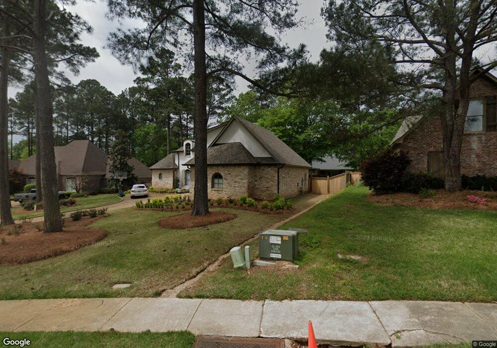
509 Silverstone Dr Madison, MS 39110
Madison AreaEstimated Value: $559,316 - $613,000
About This Home
This home is located at 509 Silverstone Dr, Madison, MS 39110 and is currently estimated at $588,079, approximately $148 per square foot. 509 Silverstone Dr is a home located in Madison County with nearby schools including Madison Avenue Upper Elementary School, Madison Avenue Elementary, and Madison Middle School.
Ownership History
We collect this data history from publicly available records. To have your information removed, we recommend requesting removal directly through your county’s website.
Purchase Details
Home Financials for this Owner
Home Financials are based on the most recent Mortgage that was taken out on this home.Purchase Details
Home Values in the Area
Average Home Value in this Area
Purchase History
We collect this data history from publicly available records. To have your information removed, we recommend requesting removal directly through your county’s website.
| Date | Buyer | Sale Price | Title Company |
|---|---|---|---|
| -- | White Albert Bozeman | ||
| -- | None Available |
Mortgage History
We collect this data history from publicly available records. To have your information removed, we recommend requesting removal directly through your county’s website.
| Date | Status | Borrower | Loan Amount |
|---|---|---|---|
| Open | $50,000 | ||
| Open | $418,500 | ||
| Previous Owner | $327,000 | ||
| Previous Owner | $369,750 | ||
| Previous Owner | $352,000 |
Tax History
We collect this data history from publicly available records. To have your information removed, we recommend requesting removal directly through your county’s website.
| Year | Tax Paid | Tax Assessment Tax Assessment Total Assessment is a certain percentage of the fair market value that is determined by local assessors to be the total taxable value of land and additions on the property. | Land | Improvement |
|---|---|---|---|---|
| 2025 | $6,372 | $54,680 | $0 | $0 |
| 2024 | $6,372 | $54,680 | $0 | $0 |
| 2023 | $6,372 | $54,680 | $0 | $0 |
| 2022 | $6,372 | $54,680 | $0 | $0 |
| 2021 | $6,123 | $52,541 | $0 | $0 |
| 2020 | $6,123 | $52,541 | $0 | $0 |
| 2019 | $6,123 | $52,541 | $0 | $0 |
| 2018 | $6,123 | $52,541 | $0 | $0 |
| 2017 | $6,023 | $51,683 | $0 | $0 |
| 2016 | $6,023 | $51,683 | $0 | $0 |
| 2015 | $5,935 | $50,933 | $0 | $0 |
| 2014 | $5,935 | $50,933 | $0 | $0 |
Map
- 408 Ashbourn Ct
- 208 Breezy Hill Dr
- 385 Kingsbridge Rd
- 401 Kingsbridge Rd
- 213 Breezy Hill Dr
- 126 Highwoods Blvd
- 241 Sycamore Ln
- 2037 Tidewater Ln Unit A
- 147 Overlook Pointe Dr
- 550 Post Rd Unit 708
- 550 Post Rd Unit 205
- 550 Post Rd Unit 607
- 550 Post Rd Unit 1002
- 481 Cheyenne Ln
- 0 Woodbridge Dr Unit 4124242
- 133 Overlook Pointe Dr
- 135 Winter Teal Place
- 112 Winter Teal Place
- 104 Grey Brant Ct
- 404 Bay Cove
- 505 Silverstone Dr
- 200 Kingsbridge Rd
- 501 Silverstone Dr
- 204 Kingsbridge Rd
- 513 Silverstone Dr
- 208 Kingsbridge Rd
- 108 Wrights Mill Dr
- 112 Wrights Mill Dr
- 300 Kingsbridge Rd
- 508 Silverstone Dr
- 512 Silverstone Dr
- 212 Kingsbridge Rd
- 116 Wrights Mill Dr
- 517 Silverstone Dr
- 516 Silverstone Dr
- 504 Silverstone Dr
- 304 Kingsbridge Rd
- 205 Kingsbridge Rd
- 120 Wrights Mill Dr
- 209 Kingsbridge Rd
Ask me questions while you tour the home.