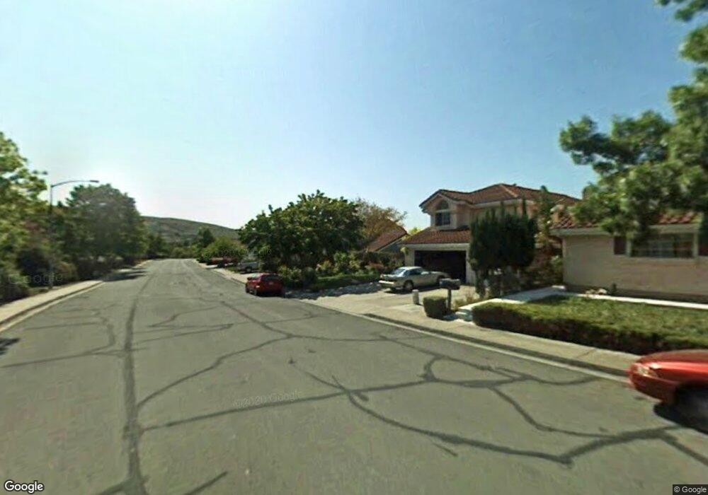
509 Southport Way Vallejo, CA 94591
Estimated Value: $612,613 - $703,000
3
Beds
3
Baths
1,823
Sq Ft
$365/Sq Ft
Est. Value
About This Home
This home is located at 509 Southport Way, Vallejo, CA 94591 and is currently estimated at $664,903, approximately $364 per square foot. 509 Southport Way is a home located in Solano County with nearby schools including Annie Pennycook Elementary School, Hogan Middle School, and Jesse M. Bethel High School.
Ownership History
Date
Name
Owned For
Owner Type
Purchase Details
Closed on
Jun 20, 2019
Sold by
Morgan Ronald Paul and Morgan Mary Helen
Bought by
Morgan Ronald Paul and Morgan Mary Helen
Current Estimated Value
Purchase Details
Closed on
Oct 29, 2002
Sold by
Va
Bought by
Morgan Ronald Paul and Morgan Mary Helen
Home Financials for this Owner
Home Financials are based on the most recent Mortgage that was taken out on this home.
Original Mortgage
$160,000
Outstanding Balance
$66,326
Interest Rate
5.88%
Estimated Equity
$598,577
Create a Home Valuation Report for This Property
The Home Valuation Report is an in-depth analysis detailing your home's value as well as a comparison with similar homes in the area
Home Values in the Area
Average Home Value in this Area
Purchase History
| Date | Buyer | Sale Price | Title Company |
|---|---|---|---|
| Morgan Ronald Paul | -- | None Available | |
| Morgan Ronald Paul | -- | First American Title Co |
Source: Public Records
Mortgage History
| Date | Status | Borrower | Loan Amount |
|---|---|---|---|
| Open | Morgan Ronald Paul | $160,000 |
Source: Public Records
Tax History Compared to Growth
Tax History
| Year | Tax Paid | Tax Assessment Tax Assessment Total Assessment is a certain percentage of the fair market value that is determined by local assessors to be the total taxable value of land and additions on the property. | Land | Improvement |
|---|---|---|---|---|
| 2025 | $2,898 | $321,087 | $84,444 | $236,643 |
| 2024 | $2,898 | $314,792 | $82,789 | $232,003 |
| 2023 | $2,761 | $308,620 | $81,166 | $227,454 |
| 2022 | $2,745 | $302,570 | $79,575 | $222,995 |
| 2021 | $2,681 | $296,638 | $78,015 | $218,623 |
| 2020 | $2,707 | $293,598 | $77,216 | $216,382 |
| 2019 | $2,626 | $287,842 | $75,702 | $212,140 |
| 2018 | $2,478 | $282,199 | $74,218 | $207,981 |
| 2017 | $2,372 | $276,666 | $72,763 | $203,903 |
| 2016 | $1,811 | $271,242 | $71,337 | $199,905 |
| 2015 | $1,780 | $267,169 | $70,266 | $196,903 |
| 2014 | $1,750 | $261,936 | $68,890 | $193,046 |
Source: Public Records
Map
Nearby Homes
- 261 Ramsgate Way
- 11 Dover Ct
- 425 Lexington Dr
- 880 Knights Cir
- 107 Lexington Dr
- 185 Lexington Dr
- 1407 Eucalyptus Dr
- 410 Newcastle Ct
- 325 Cottonwood Dr
- 479 Aragon St
- 1025 Columbus Pkwy
- 1202 Andrea Way
- 237 Grapewood St
- 312 Cottonwood Dr
- 296 Cottonwood Dr
- 176 Newcastle Dr
- 1290 Rachel Way
- 128 Newcastle Dr
- 160 Live Oak Ct
- 178 Fleet St
- 515 Southport Way
- 505 Southport Way
- 519 Southport Way
- 501 Southport Way
- 523 Southport Way
- 473 Southport Way
- 527 Southport Way
- 469 Southport Way
- 213 Ramsgate Way
- 207 Ramsgate Way
- 219 Ramsgate Way
- 201 Ramsgate Way
- 468 Southport Way
- 225 Ramsgate Way
- 533 Southport Way
- 465 Southport Way
- 231 Ramsgate Way
- 460 Southport Way
- 461 Southport Way
- 237 Ramsgate Way