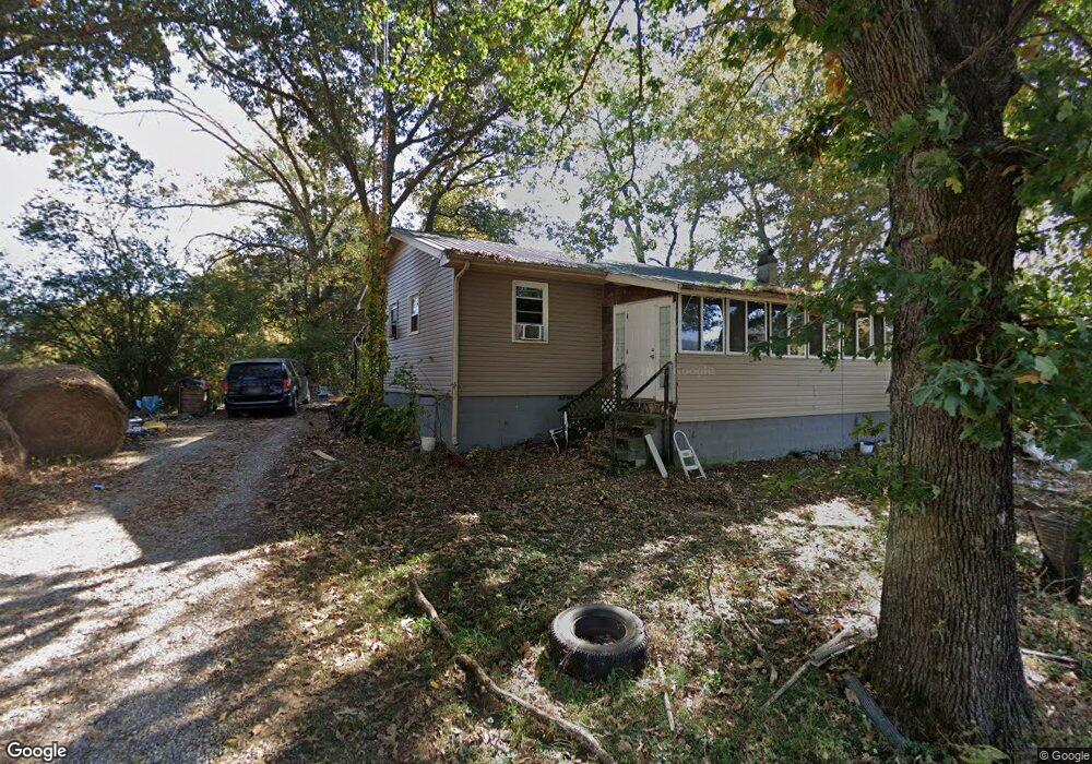
51 Bryant Ln Decherd, TN 37324
Estimated Value: $182,000 - $268,000
--
Bed
1
Bath
912
Sq Ft
$231/Sq Ft
Est. Value
About This Home
This home is located at 51 Bryant Ln, Decherd, TN 37324 and is currently estimated at $210,958, approximately $231 per square foot. 51 Bryant Ln is a home located in Franklin County with nearby schools including North Middle School and Franklin County High School.
Ownership History
Date
Name
Owned For
Owner Type
Purchase Details
Closed on
Nov 4, 2016
Sold by
Harris Corey D
Bought by
Anderson Caleb
Current Estimated Value
Home Financials for this Owner
Home Financials are based on the most recent Mortgage that was taken out on this home.
Original Mortgage
$112,425
Outstanding Balance
$91,516
Interest Rate
3.87%
Mortgage Type
FHA
Estimated Equity
$119,442
Purchase Details
Closed on
Dec 7, 2015
Sold by
Bryant Ricky Lee
Bought by
Harris Corey D and Harris Brittany K
Purchase Details
Closed on
Mar 17, 2000
Sold by
Bryant Ricky Lee
Bought by
Bryant Ricky L and Bryant Sharon B
Purchase Details
Closed on
Dec 27, 1996
Sold by
Bryant William
Bought by
Bryant Ricky
Purchase Details
Closed on
Mar 19, 1973
Bought by
Bryant William and Jennie Mae
Create a Home Valuation Report for This Property
The Home Valuation Report is an in-depth analysis detailing your home's value as well as a comparison with similar homes in the area
Home Values in the Area
Average Home Value in this Area
Purchase History
| Date | Buyer | Sale Price | Title Company |
|---|---|---|---|
| Anderson Caleb | $114,500 | -- | |
| Harris Corey D | $73,500 | -- | |
| Bryant Ricky L | -- | -- | |
| Bryant Ricky | $35,000 | -- | |
| Bryant William | -- | -- |
Source: Public Records
Mortgage History
| Date | Status | Borrower | Loan Amount |
|---|---|---|---|
| Open | Anderson Caleb | $112,425 |
Source: Public Records
Tax History Compared to Growth
Tax History
| Year | Tax Paid | Tax Assessment Tax Assessment Total Assessment is a certain percentage of the fair market value that is determined by local assessors to be the total taxable value of land and additions on the property. | Land | Improvement |
|---|---|---|---|---|
| 2024 | $717 | $35,925 | $14,700 | $21,225 |
| 2023 | $670 | $35,925 | $14,700 | $21,225 |
| 2022 | $630 | $33,600 | $14,700 | $18,900 |
| 2021 | $586 | $33,600 | $14,700 | $18,900 |
| 2020 | $586 | $20,350 | $8,450 | $11,900 |
| 2019 | $586 | $20,350 | $8,450 | $11,900 |
| 2018 | $544 | $20,350 | $8,450 | $11,900 |
| 2017 | $544 | $20,350 | $8,450 | $11,900 |
| 2016 | $404 | $15,125 | $6,900 | $8,225 |
| 2015 | $404 | $15,125 | $6,900 | $8,225 |
| 2014 | $405 | $15,130 | $0 | $0 |
Source: Public Records
Map
Nearby Homes
- 1431 Roarks Cove Rd
- 0 Roarks Cove Rd
- 72 Lady Slipper Ln
- 0 Claiborne View Rd Unit RTC2797207
- 238 Wiggins Creek Dr
- 891 Deepwoods Rd
- 9616 Old Alto Hwy
- 761 Cedar Mountain Place
- 836 Spur Rd
- 236 N Carolina Ave
- 95 Poplar Ln
- 0 Providence Rd
- 0 Pollywog Run Unit 1521283
- 8084 Old Alto Hwy
- 167 Pollywog Run
- 164 Willie Six Rd
- 238 Willie Six Rd
- 211 Pinetree Rd
- 0 Trussell Creek Trail Unit RTC3000327
- 0 U S Highway 64
- 3120 Roarks Cove Rd
- 7 Church Rd
- 121 Church Rd
- 3400 Roarks Cove Rd
- 71 Cherry Cemetery Rd
- 197 Cherry Cemetery Rd
- 2925 Roarks Cove Rd
- 220 Garner Rd
- 354 Garner Rd
- 332 Garner Rd
- 373 Church Rd
- 3490 Roarks Cove Rd
- 77 Garner Rd
- 2717 Roarks Cove Rd
- 3889 Roarks Cove Rd
- 3880 Roarks Cove Rd
- 3900 Roarks Cove Rd
- 3927 Roarks Cove Rd
- 4 Sewanee Summit Rd
- 4 Sewanee Summit Rd Unit 4