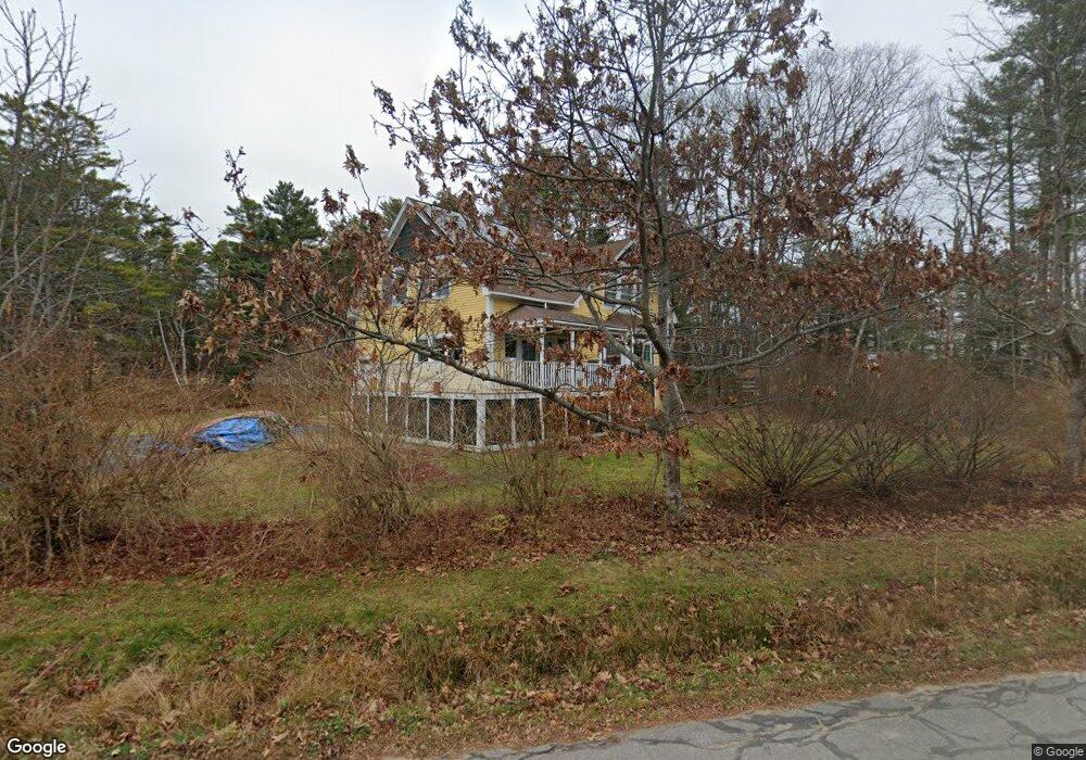
51 Byram Ave Freeport, ME 04032
Estimated Value: $922,361 - $1,204,000
3
Beds
3
Baths
2,206
Sq Ft
$473/Sq Ft
Est. Value
About This Home
This home is located at 51 Byram Ave, Freeport, ME 04032 and is currently estimated at $1,043,840, approximately $473 per square foot. 51 Byram Ave is a home located in Cumberland County with nearby schools including Morse Street School, Mast Landing School, and Freeport Middle School.
Create a Home Valuation Report for This Property
The Home Valuation Report is an in-depth analysis detailing your home's value as well as a comparison with similar homes in the area
Home Values in the Area
Average Home Value in this Area
Tax History Compared to Growth
Tax History
| Year | Tax Paid | Tax Assessment Tax Assessment Total Assessment is a certain percentage of the fair market value that is determined by local assessors to be the total taxable value of land and additions on the property. | Land | Improvement |
|---|---|---|---|---|
| 2024 | $7,756 | $581,000 | $184,700 | $396,300 |
| 2023 | $7,074 | $514,500 | $167,900 | $346,600 |
| 2022 | $6,777 | $496,500 | $149,900 | $346,600 |
| 2021 | $6,630 | $496,600 | $149,900 | $346,700 |
| 2020 | $6,371 | $455,100 | $138,800 | $316,300 |
| 2019 | $3,826 | $428,900 | $131,000 | $297,900 |
| 2018 | $6,035 | $401,000 | $122,400 | $278,600 |
| 2017 | $5,766 | $385,700 | $120,000 | $265,700 |
| 2016 | $5,549 | $351,200 | $104,400 | $246,800 |
Source: Public Records
Map
Nearby Homes
- 71 Merganser Way
- 83 Central Ave
- 46 Blackstone Club Rd
- 34 Newfield Rd
- 26 Harvest Ridge Rd Unit 24
- 853 Mere Point Rd
- Map 80 Lot 18-0 White Island
- 11 Orchard Hill Rd
- 1612 U S Route 1
- Lot 129 Harpswell Neck Rd
- 212 Main St
- 15 Tinkers Way
- 41 Spruce Brook Dr
- 15 Percy St
- 10 Durham Rd
- 1 Mallard Pond Rd
- Lot 2A Allen Point Rd
- Lot 2B Allen Point Rd
- 42 Durham Rd
- 1450 Harpswell Neck Rd