51 Carnoustie Cir Bloomfield, CT 06002
Estimated Value: $433,296 - $500,000
3
Beds
3
Baths
1,446
Sq Ft
$320/Sq Ft
Est. Value
About This Home
This home is located at 51 Carnoustie Cir, Bloomfield, CT 06002 and is currently estimated at $462,824, approximately $320 per square foot. 51 Carnoustie Cir is a home located in Hartford County with nearby schools including Laurel School, Metacomet School, and Carmen Arace Intermediate School.
Ownership History
Date
Name
Owned For
Owner Type
Purchase Details
Closed on
May 23, 2021
Sold by
Tayts Dmitry and Tayts Dorine
Bought by
Chowdhary Tanvi
Current Estimated Value
Purchase Details
Closed on
Dec 28, 2015
Sold by
Frechette Donald E
Bought by
Tayts Dorine and Tayts Dmitry
Home Financials for this Owner
Home Financials are based on the most recent Mortgage that was taken out on this home.
Original Mortgage
$230,000
Interest Rate
3.99%
Mortgage Type
New Conventional
Purchase Details
Closed on
Sep 8, 2011
Sold by
Jpb Realty Llc
Bought by
Frechette Donald E
Home Financials for this Owner
Home Financials are based on the most recent Mortgage that was taken out on this home.
Original Mortgage
$251,200
Interest Rate
3.67%
Mortgage Type
Purchase Money Mortgage
Create a Home Valuation Report for This Property
The Home Valuation Report is an in-depth analysis detailing your home's value as well as a comparison with similar homes in the area
Home Values in the Area
Average Home Value in this Area
Purchase History
| Date | Buyer | Sale Price | Title Company |
|---|---|---|---|
| Chowdhary Tanvi | $328,500 | None Available | |
| Chowdhary Tanvi | $328,500 | None Available | |
| Tayts Dorine | $287,500 | -- | |
| Tayts Dorine | $287,500 | -- | |
| Frechette Donald E | $314,000 | -- | |
| Frechette Donald E | $314,000 | -- |
Source: Public Records
Mortgage History
| Date | Status | Borrower | Loan Amount |
|---|---|---|---|
| Previous Owner | Frechette Donald E | $230,000 | |
| Previous Owner | Frechette Donald E | $251,200 |
Source: Public Records
Tax History Compared to Growth
Tax History
| Year | Tax Paid | Tax Assessment Tax Assessment Total Assessment is a certain percentage of the fair market value that is determined by local assessors to be the total taxable value of land and additions on the property. | Land | Improvement |
|---|---|---|---|---|
| 2025 | $9,101 | $242,690 | $0 | $242,690 |
| 2024 | $7,285 | $185,640 | $0 | $185,640 |
| 2023 | $7,153 | $185,640 | $0 | $185,640 |
| 2022 | $6,689 | $185,640 | $0 | $185,640 |
| 2021 | $6,837 | $185,640 | $0 | $185,640 |
| 2020 | $6,731 | $185,640 | $0 | $185,640 |
| 2019 | $7,177 | $185,640 | $0 | $185,640 |
| 2018 | $7,975 | $206,500 | $0 | $206,500 |
| 2017 | $7,963 | $206,500 | $0 | $206,500 |
| 2016 | $8,608 | $228,620 | $0 | $228,620 |
| 2015 | $8,448 | $228,620 | $0 | $228,620 |
| 2014 | $8,664 | $242,410 | $0 | $242,410 |
Source: Public Records
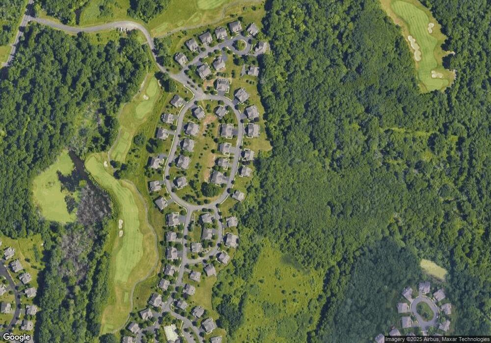
Map
Nearby Homes
- 68 Tariffville Rd
- 158 Tariffville Rd
- 23 Maple St
- 9 Tunxis Place
- 19 Simsbury Landing
- 5 Tunxis Place Unit C
- 11 Mallard Cir
- 14 Teal Cir Unit 14
- 2 Quail Dr Unit 2
- 24 Hunting Ridge Dr
- 14 Main Street Extension
- 7 Peppercorn Ln
- 4 Sage Ln
- 87 Cambridge Ct
- 45 Hoskins Rd
- 67 Adams Rd
- 11 Boysen Dr
- 14 Gordon St
- 15 Pinnacle Mountain Rd
- 26 Winterset Ln
- 51 Carnoustie Cir Unit 85
- 51 Carnoustie Cir Unit 51
- 23 Hoskins Rd
- 27 Hoskins Rd
- 35 Hoskins Rd
- 33 Hoskins Rd
- 30 Metacom Dr
- 26 Metacom Dr
- 24 Metacom Dr
- 5 Saint Andrews Rd
- 22 Hoskins Rd
- 24 Hoskins Rd
- 26 Hoskins Rd
- 37 Hoskins Rd
- 28 Hoskins Rd
- 16 Hoskins Rd
- 30 Hoskins Rd
- 32 Hoskins Rd
- 34 Hoskins Rd
- 32 Metacom Dr