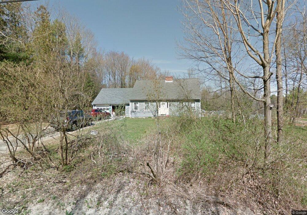
51 Curtis Rd Freeport, ME 04032
Estimated Value: $452,000 - $523,222
3
Beds
3
Baths
1,809
Sq Ft
$277/Sq Ft
Est. Value
About This Home
This home is located at 51 Curtis Rd, Freeport, ME 04032 and is currently estimated at $500,306, approximately $276 per square foot. 51 Curtis Rd is a home located in Cumberland County with nearby schools including Morse Street School, Mast Landing School, and Freeport Middle School.
Ownership History
Date
Name
Owned For
Owner Type
Purchase Details
Closed on
Jan 22, 2021
Sold by
Miyake Masahiko
Bought by
Miyake Masahiko and Miyake Chieko
Current Estimated Value
Home Financials for this Owner
Home Financials are based on the most recent Mortgage that was taken out on this home.
Original Mortgage
$197,000
Outstanding Balance
$174,888
Interest Rate
2.67%
Mortgage Type
Purchase Money Mortgage
Estimated Equity
$325,418
Purchase Details
Closed on
Jun 30, 2009
Sold by
Wolotsky Daniel N and Wolotsky Gayle G
Bought by
Miyake Masahiko
Home Financials for this Owner
Home Financials are based on the most recent Mortgage that was taken out on this home.
Original Mortgage
$243,576
Interest Rate
4.92%
Mortgage Type
FHA
Create a Home Valuation Report for This Property
The Home Valuation Report is an in-depth analysis detailing your home's value as well as a comparison with similar homes in the area
Home Values in the Area
Average Home Value in this Area
Purchase History
| Date | Buyer | Sale Price | Title Company |
|---|---|---|---|
| Miyake Masahiko | -- | None Available | |
| Miyake Masahiko | -- | None Available | |
| Miyake Masahiko | -- | -- | |
| Miyake Masahiko | -- | -- |
Source: Public Records
Mortgage History
| Date | Status | Borrower | Loan Amount |
|---|---|---|---|
| Open | Miyake Masahiko | $197,000 | |
| Closed | Miyake Masahiko | $197,000 | |
| Closed | Miyake Masahiko | $243,576 |
Source: Public Records
Tax History
| Year | Tax Paid | Tax Assessment Tax Assessment Total Assessment is a certain percentage of the fair market value that is determined by local assessors to be the total taxable value of land and additions on the property. | Land | Improvement |
|---|---|---|---|---|
| 2025 | $5,097 | $368,000 | $133,200 | $234,800 |
| 2024 | $4,827 | $361,600 | $126,800 | $234,800 |
| 2023 | $4,384 | $318,800 | $115,200 | $203,600 |
| 2022 | $4,192 | $307,100 | $103,500 | $203,600 |
| 2021 | $4,101 | $307,200 | $103,500 | $203,700 |
| 2020 | $3,970 | $283,600 | $95,800 | $187,800 |
| 2019 | $3,825 | $267,500 | $90,400 | $177,100 |
| 2018 | $3,773 | $250,700 | $82,600 | $168,100 |
| 2017 | $3,607 | $241,300 | $80,700 | $160,600 |
| 2016 | $3,555 | $225,000 | $76,400 | $148,600 |
| 2015 | $3,548 | $211,200 | $73,500 | $137,700 |
| 2014 | $3,337 | $211,200 | $73,500 | $137,700 |
| 2013 | $3,167 | $199,800 | $72,800 | $127,000 |
Source: Public Records
Map
Nearby Homes
Your Personal Tour Guide
Ask me questions while you tour the home.