51 Deer Run Belchertown, MA 01007
Estimated Value: $527,000 - $760,735
3
Beds
3
Baths
3,622
Sq Ft
$185/Sq Ft
Est. Value
About This Home
This home is located at 51 Deer Run, Belchertown, MA 01007 and is currently estimated at $670,684, approximately $185 per square foot. 51 Deer Run is a home located in Hampshire County with nearby schools including Swift River Elementary School, Chestnut Hill Community School, and Jabish Middle School.
Ownership History
Date
Name
Owned For
Owner Type
Purchase Details
Closed on
Jun 23, 2023
Sold by
Kurty Nancy R
Bought by
Asselin Michael J and Lunsford Karen A
Current Estimated Value
Purchase Details
Closed on
Mar 1, 2000
Sold by
Bouffier C Millie C and Bouffier Edward J
Bought by
Aseelin Michael J and Lunsford Karen A
Purchase Details
Closed on
Dec 7, 1992
Sold by
Dickey Laurie A and Dickey William R
Bought by
Bouffier C Millie C and Bouffier Edward J
Create a Home Valuation Report for This Property
The Home Valuation Report is an in-depth analysis detailing your home's value as well as a comparison with similar homes in the area
Home Values in the Area
Average Home Value in this Area
Purchase History
| Date | Buyer | Sale Price | Title Company |
|---|---|---|---|
| Asselin Michael J | -- | None Available | |
| Aseelin Michael J | $245,000 | -- | |
| Bouffier C Millie C | $207,500 | -- |
Source: Public Records
Mortgage History
| Date | Status | Borrower | Loan Amount |
|---|---|---|---|
| Previous Owner | Bouffier C Millie C | $50,000 | |
| Previous Owner | Bouffier C Millie C | $288,000 | |
| Previous Owner | Bouffier C Millie C | $200,000 |
Source: Public Records
Tax History Compared to Growth
Tax History
| Year | Tax Paid | Tax Assessment Tax Assessment Total Assessment is a certain percentage of the fair market value that is determined by local assessors to be the total taxable value of land and additions on the property. | Land | Improvement |
|---|---|---|---|---|
| 2025 | $10,187 | $702,100 | $96,500 | $605,600 |
| 2024 | $9,831 | $641,700 | $83,000 | $558,700 |
| 2023 | $9,453 | $579,200 | $79,000 | $500,200 |
| 2022 | $9,204 | $521,200 | $79,000 | $442,200 |
| 2021 | $8,188 | $451,600 | $79,000 | $372,600 |
| 2020 | $8,238 | $453,400 | $79,000 | $374,400 |
| 2019 | $8,239 | $449,700 | $81,200 | $368,500 |
| 2018 | $8,129 | $446,900 | $81,200 | $365,700 |
| 2017 | $7,957 | $437,200 | $79,900 | $357,300 |
| 2016 | $7,537 | $419,400 | $74,700 | $344,700 |
| 2015 | $7,449 | $416,400 | $72,500 | $343,900 |
Source: Public Records
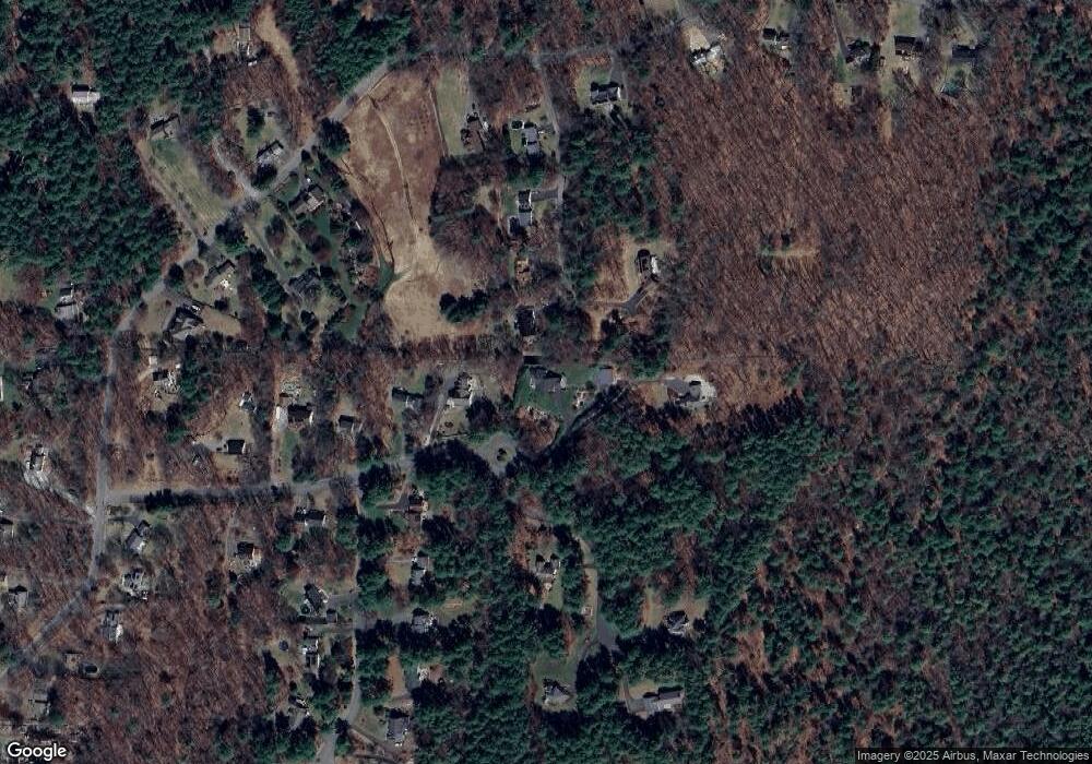
Map
Nearby Homes
- 180 Ware Rd
- 280 Ware Rd
- 0 Allen Rd
- Lot 44 Ware Rd
- Lot E Jensen St
- Lot F Jensen St
- 41 Meadow Pond Rd
- 74 Sabin St
- 16 Martin Cir
- 17 Sunny Crest Ln
- 47 Main St
- 58 Daniel Shays Hwy
- 17 Lexington Dr
- 50 Center St Unit 9
- 55 N Main St Unit 2
- 55 N Main St Unit 23
- 111 Daniel Shays Hwy Unit 27
- 111 Daniel Shays Hwy Unit 8
- Lot 17 04 & 17 05 Sabin St
- 45 Howard St