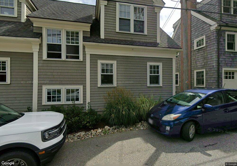
51 Leonard St Gloucester, MA 01930
Annisquam NeighborhoodEstimated Value: $1,312,000 - $2,211,000
3
Beds
2
Baths
1,949
Sq Ft
$992/Sq Ft
Est. Value
About This Home
This home is located at 51 Leonard St, Gloucester, MA 01930 and is currently estimated at $1,932,782, approximately $991 per square foot. 51 Leonard St is a home located in Essex County with nearby schools including Plum Cove School, Ralph B O'maley Middle School, and Gloucester High School.
Ownership History
Date
Name
Owned For
Owner Type
Purchase Details
Closed on
Sep 27, 2012
Sold by
Rust Gary H Est and Rust
Bought by
Anne Meyer T and Anne Meyer
Current Estimated Value
Purchase Details
Closed on
Oct 13, 2009
Sold by
Rust Linda M
Bought by
Rust Gary H
Home Financials for this Owner
Home Financials are based on the most recent Mortgage that was taken out on this home.
Original Mortgage
$205,000
Interest Rate
5.14%
Mortgage Type
Purchase Money Mortgage
Create a Home Valuation Report for This Property
The Home Valuation Report is an in-depth analysis detailing your home's value as well as a comparison with similar homes in the area
Home Values in the Area
Average Home Value in this Area
Purchase History
| Date | Buyer | Sale Price | Title Company |
|---|---|---|---|
| Anne Meyer T | $840,000 | -- | |
| Rust Gary H | -- | -- | |
| Rust Gary H | -- | -- |
Source: Public Records
Mortgage History
| Date | Status | Borrower | Loan Amount |
|---|---|---|---|
| Previous Owner | Rust Gary H | $205,000 | |
| Closed | Anne Meyer T | $0 |
Source: Public Records
Tax History
| Year | Tax Paid | Tax Assessment Tax Assessment Total Assessment is a certain percentage of the fair market value that is determined by local assessors to be the total taxable value of land and additions on the property. | Land | Improvement |
|---|---|---|---|---|
| 2025 | $20,574 | $2,116,700 | $1,414,500 | $702,200 |
| 2024 | $17,210 | $1,768,800 | $1,066,600 | $702,200 |
| 2023 | $16,138 | $1,523,900 | $909,900 | $614,000 |
| 2022 | $15,597 | $1,329,700 | $791,400 | $538,300 |
| 2021 | $15,052 | $1,210,000 | $719,600 | $490,400 |
| 2020 | $15,045 | $1,220,200 | $719,600 | $500,600 |
| 2019 | $14,440 | $1,137,900 | $686,100 | $451,800 |
| 2018 | $14,045 | $1,086,200 | $669,400 | $416,800 |
| 2017 | $13,620 | $1,032,600 | $637,100 | $395,500 |
| 2016 | $13,109 | $963,200 | $609,700 | $353,500 |
| 2015 | -- | $929,600 | $595,900 | $333,700 |
Source: Public Records
Map
Nearby Homes
- 136 Leonard St
- 672 Washington St
- 4 Ciaramitaro Ct
- 2 Breezy Point Rd
- 226 Atlantic St
- 178 Atlantic St
- 167 Atlantic St
- 3 Deacon Farm Ln
- 13 Honeysuckle Rd
- 9 Hickory St
- 1030 Washington St
- 31 Echo Ave
- 43 High St Unit B
- 10 Emerald St
- 13 Mystic Ave
- 8 Mystic Ave
- 3 Rockland St
- 6 Monroe Ct
- 98 Maplewood Ave
- 12 Arthur St
Your Personal Tour Guide
Ask me questions while you tour the home.