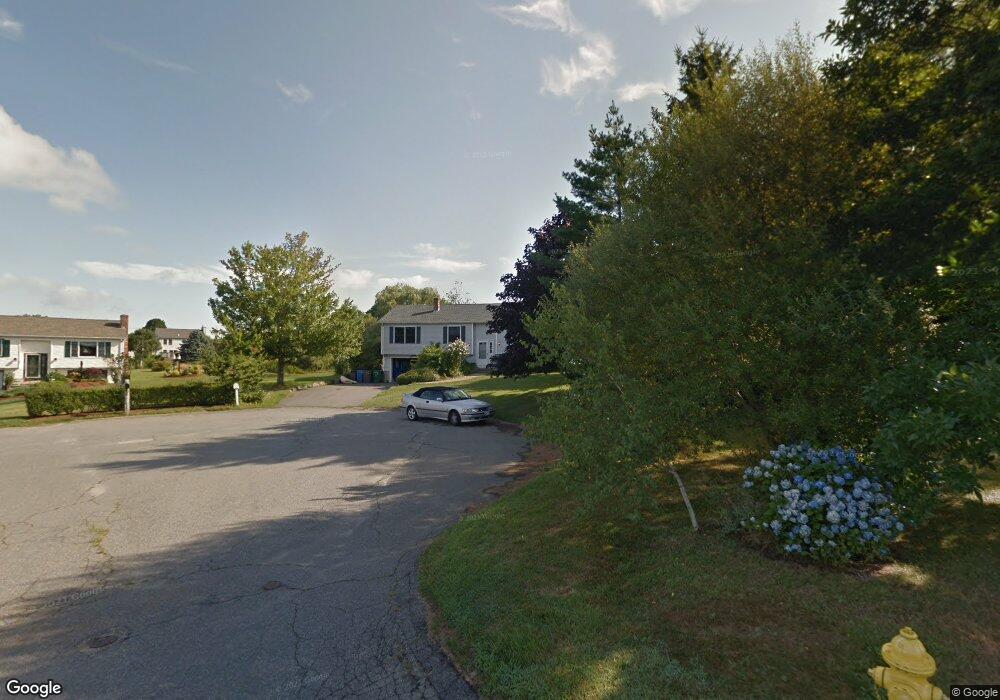
51 Loring St Middletown, RI 02842
Estimated Value: $725,527 - $978,000
3
Beds
2
Baths
1,242
Sq Ft
$663/Sq Ft
Est. Value
About This Home
This home is located at 51 Loring St, Middletown, RI 02842 and is currently estimated at $823,632, approximately $663 per square foot. 51 Loring St is a home located in Newport County with nearby schools including Middletown High School, St Michael's Country Day School, and St George's School.
Create a Home Valuation Report for This Property
The Home Valuation Report is an in-depth analysis detailing your home's value as well as a comparison with similar homes in the area
Home Values in the Area
Average Home Value in this Area
Tax History Compared to Growth
Tax History
| Year | Tax Paid | Tax Assessment Tax Assessment Total Assessment is a certain percentage of the fair market value that is determined by local assessors to be the total taxable value of land and additions on the property. | Land | Improvement |
|---|---|---|---|---|
| 2025 | $7,174 | $608,500 | $402,700 | $205,800 |
| 2024 | $6,852 | $608,500 | $402,700 | $205,800 |
| 2023 | $5,688 | $451,800 | $295,700 | $156,100 |
| 2022 | $5,431 | $451,800 | $295,700 | $156,100 |
| 2021 | $5,431 | $451,800 | $295,700 | $156,100 |
| 2020 | $5,343 | $388,300 | $227,900 | $160,400 |
| 2018 | $5,339 | $388,300 | $227,900 | $160,400 |
| 2016 | $5,291 | $343,100 | $207,400 | $135,700 |
| 2015 | $5,160 | $343,100 | $207,400 | $135,700 |
| 2014 | $5,186 | $322,700 | $189,000 | $133,700 |
| 2013 | $5,070 | $322,700 | $189,000 | $133,700 |
Source: Public Records
Map
Nearby Homes
- 202 Reservoir Rd
- 0 Wolcott Ave
- 118 Wolcott Ave
- 162 Center Ave
- 65 Seascape Ave
- 84 Allston Ave
- 55 John Clarke Rd Unit 8
- 55 John Clarke Rd Unit 3
- 141 Gray Craig Rd
- 0 Honeyman Ave
- 476 Green End Ave
- 16 Sachuest Dr
- 4 James St
- 0 Saltwood Dr
- 318 Corey Ln
- 140 Tuckerman Ave
- 310 Corey Ln
- 119 Corey Ln
- 980 Green End Ave
- 129 Bliss Mine Rd