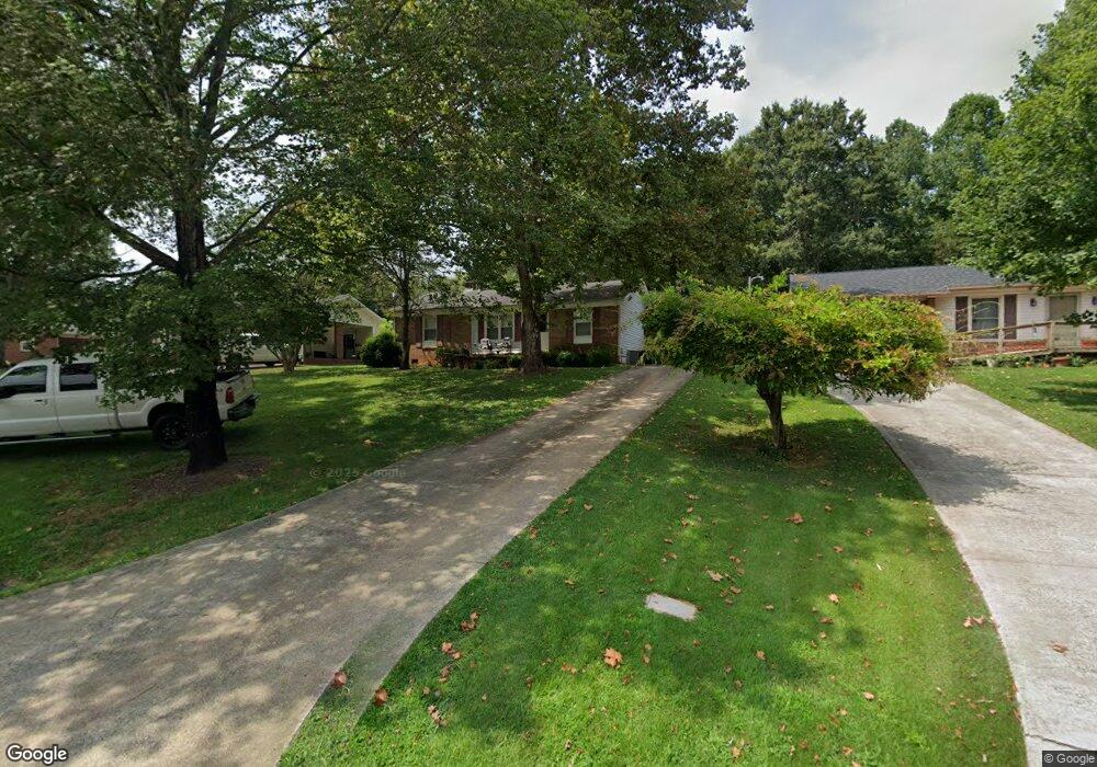
51 Old Airport Rd Concord, NC 28025
Estimated Value: $234,000 - $274,000
3
Beds
2
Baths
1,218
Sq Ft
$210/Sq Ft
Est. Value
About This Home
This home is located at 51 Old Airport Rd, Concord, NC 28025 and is currently estimated at $255,289, approximately $209 per square foot. 51 Old Airport Rd is a home located in Cabarrus County with nearby schools including W.M. Irvin Elementary School, Concord Middle School, and Concord High School.
Ownership History
Date
Name
Owned For
Owner Type
Purchase Details
Closed on
Dec 21, 2009
Sold by
Wachovia Bank Na
Bought by
Irvin Dale L
Current Estimated Value
Home Financials for this Owner
Home Financials are based on the most recent Mortgage that was taken out on this home.
Original Mortgage
$58,500
Outstanding Balance
$38,372
Interest Rate
5.01%
Mortgage Type
New Conventional
Estimated Equity
$216,917
Purchase Details
Closed on
Dec 11, 2008
Sold by
Kania Richard J
Bought by
Wachovia Bank Na
Purchase Details
Closed on
Dec 20, 2001
Sold by
Lipke Margie and Lipke Victor Paul
Bought by
Habbestad Jeffery W
Home Financials for this Owner
Home Financials are based on the most recent Mortgage that was taken out on this home.
Original Mortgage
$52,780
Interest Rate
6.99%
Purchase Details
Closed on
Apr 1, 1986
Bought by
Conklin Myrtle Mae
Create a Home Valuation Report for This Property
The Home Valuation Report is an in-depth analysis detailing your home's value as well as a comparison with similar homes in the area
Home Values in the Area
Average Home Value in this Area
Purchase History
| Date | Buyer | Sale Price | Title Company |
|---|---|---|---|
| Irvin Dale L | $65,000 | None Available | |
| Wachovia Bank Na | $67,394 | None Available | |
| Habbestad Jeffery W | $30,000 | -- | |
| Conklin Myrtle Mae | $43,000 | -- |
Source: Public Records
Mortgage History
| Date | Status | Borrower | Loan Amount |
|---|---|---|---|
| Open | Irvin Dale L | $58,500 | |
| Previous Owner | Habbestad Jeffery W | $52,780 |
Source: Public Records
Tax History Compared to Growth
Tax History
| Year | Tax Paid | Tax Assessment Tax Assessment Total Assessment is a certain percentage of the fair market value that is determined by local assessors to be the total taxable value of land and additions on the property. | Land | Improvement |
|---|---|---|---|---|
| 2025 | $1,773 | $177,990 | $66,000 | $111,990 |
| 2024 | $1,773 | $177,990 | $66,000 | $111,990 |
| 2023 | $1,156 | $94,740 | $35,000 | $59,740 |
| 2022 | $1,156 | $94,740 | $35,000 | $59,740 |
| 2021 | $1,156 | $94,740 | $35,000 | $59,740 |
| 2020 | $1,156 | $94,740 | $35,000 | $59,740 |
| 2019 | $934 | $76,580 | $22,000 | $54,580 |
| 2018 | $919 | $76,580 | $22,000 | $54,580 |
| 2017 | $904 | $76,580 | $22,000 | $54,580 |
| 2016 | -- | $74,060 | $22,000 | $52,060 |
| 2015 | $874 | $74,060 | $22,000 | $52,060 |
| 2014 | $874 | $74,060 | $22,000 | $52,060 |
Source: Public Records
Map
Nearby Homes
- 138 Pointer Ct SE
- 142 Cottontail Ln SE
- 29 Plott Dr SW
- 153 Cottontail Ln SE Unit 46
- 79 Cumberland Ct SW
- 94 Cumberland Ct SW
- 34 Rollingwood Dr SE
- 425 Krimminger Ave SE
- 267 Ikerd Dr SE
- 847 Kathryn Dr SE
- 24 Doris Ct SE
- 271 Ikerd Dr SE
- 768 Millbrook Ct
- 2522 Willow Pond Ln SE
- 783 Union St S
- 138 Arlington Ave SE
- 782 Union St S
- 148 Woodland Dr SW
- 113 Arlington Ave SE
- 745 Carolyn Dr SE
- 47 Old Airport Rd
- 57 Old Airport Rd
- 39 Old Airport Rd
- 137 Pointer Ct SE
- 31 Old Airport Rd
- 135 Pointer Ct SE
- 133 Pointer Ct SE
- 25 Old Airport Rd
- 121 Old Airport Rd
- 131 Pointer Ct SE
- 136 Pointer Ct SE
- 134 Pointer Ct SE
- 129 Pointer Ct SE
- 123 Old Airport Rd
- 30 Wayne Ct SE
- 132 Pointer Ct SE
- 38 Wayne Ct SE
- 118 Cottontail Ln SE
- 120 Cottontail Ln SE
- 44 Wayne Ct SE