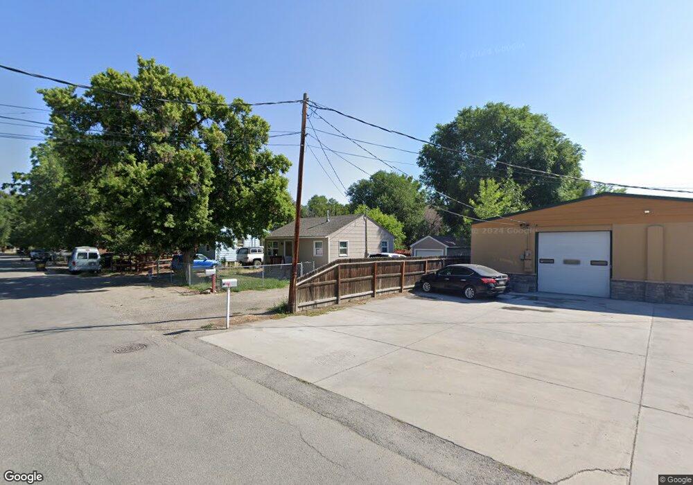
51 Rhea Ln Billings, MT 59102
East Central Billings NeighborhoodEstimated Value: $219,000 - $245,000
2
Beds
1
Bath
588
Sq Ft
$390/Sq Ft
Est. Value
About This Home
This home is located at 51 Rhea Ln, Billings, MT 59102 and is currently estimated at $229,538, approximately $390 per square foot. 51 Rhea Ln is a home located in Yellowstone County with nearby schools including Washington School, Lewis & Clark Junior High School, and Billings West High School.
Ownership History
Date
Name
Owned For
Owner Type
Purchase Details
Closed on
May 24, 2019
Sold by
March Savananh M
Bought by
Davis Kaylee S
Current Estimated Value
Home Financials for this Owner
Home Financials are based on the most recent Mortgage that was taken out on this home.
Original Mortgage
$131,081
Outstanding Balance
$115,247
Interest Rate
4.2%
Mortgage Type
FHA
Estimated Equity
$114,291
Purchase Details
Closed on
Jul 17, 2007
Sold by
Crawford Aaron H and Crawford Stephen E
Bought by
Guilford Israel J
Home Financials for this Owner
Home Financials are based on the most recent Mortgage that was taken out on this home.
Original Mortgage
$91,278
Interest Rate
6.51%
Mortgage Type
FHA
Create a Home Valuation Report for This Property
The Home Valuation Report is an in-depth analysis detailing your home's value as well as a comparison with similar homes in the area
Home Values in the Area
Average Home Value in this Area
Purchase History
| Date | Buyer | Sale Price | Title Company |
|---|---|---|---|
| Davis Kaylee S | -- | First American Title | |
| Guilford Israel J | -- | None Available |
Source: Public Records
Mortgage History
| Date | Status | Borrower | Loan Amount |
|---|---|---|---|
| Open | Davis Kaylee S | $131,081 | |
| Previous Owner | Guilford Israel J | $91,278 |
Source: Public Records
Tax History Compared to Growth
Tax History
| Year | Tax Paid | Tax Assessment Tax Assessment Total Assessment is a certain percentage of the fair market value that is determined by local assessors to be the total taxable value of land and additions on the property. | Land | Improvement |
|---|---|---|---|---|
| 2025 | $1,606 | $203,700 | $40,016 | $163,684 |
| 2024 | $1,606 | $159,200 | $39,514 | $119,686 |
| 2023 | $1,657 | $159,200 | $39,514 | $119,686 |
| 2022 | $1,573 | $133,200 | $32,289 | $100,911 |
| 2021 | $1,539 | $133,200 | $0 | $0 |
| 2020 | $1,426 | $118,400 | $0 | $0 |
| 2019 | $778 | $57,318 | $0 | $0 |
| 2018 | $1,202 | $100,300 | $0 | $0 |
| 2017 | $928 | $100,300 | $0 | $0 |
| 2016 | $1,034 | $88,500 | $0 | $0 |
| 2015 | $1,010 | $88,500 | $0 | $0 |
| 2014 | $933 | $43,036 | $0 | $0 |
Source: Public Records
Map
Nearby Homes
- 43 Prickett Ln
- 307 S Billings Blvd Unit 36
- 226 Moore Ln
- 723 Cook Ave
- 716 Howard Ave
- 947 Howard Ave
- 1132 Saint Johns Ave
- 618 & 620 Howard Ave
- 925 Miles Ave
- 937 Miles Ave
- 1122 Howard Ave
- 1205 Lynn Ave
- 926 Terry Ave
- 702 Terry Ave
- 704 Terry Ave
- 1120 Miles Ave
- 418 Cook Ave
- 611 Custer Ave
- 801 Broadwater Ave
- 725 Broadwater Ave