51 Simon Ln Newport, ME 04953
Estimated Value: $340,000 - $361,000
--
Bed
--
Bath
--
Sq Ft
20
Acres
About This Home
This home is located at 51 Simon Ln, Newport, ME 04953 and is currently estimated at $347,397. 51 Simon Ln is a home with nearby schools including Sebasticook Valley Elementary School and Nokomis Regional Middle School/High School.
Ownership History
Date
Name
Owned For
Owner Type
Purchase Details
Closed on
Oct 29, 2020
Sold by
Mcdonough Michael T Est
Bought by
Schneller Jamie
Current Estimated Value
Home Financials for this Owner
Home Financials are based on the most recent Mortgage that was taken out on this home.
Original Mortgage
$139,000
Outstanding Balance
$123,690
Interest Rate
2.8%
Mortgage Type
New Conventional
Estimated Equity
$223,707
Purchase Details
Closed on
Oct 2, 2018
Sold by
Mcdonough Michael T
Bought by
Denicola Gregory and Denicola Dawn
Create a Home Valuation Report for This Property
The Home Valuation Report is an in-depth analysis detailing your home's value as well as a comparison with similar homes in the area
Home Values in the Area
Average Home Value in this Area
Purchase History
| Date | Buyer | Sale Price | Title Company |
|---|---|---|---|
| Schneller Jamie | -- | None Available | |
| Denicola Gregory | -- | -- |
Source: Public Records
Mortgage History
| Date | Status | Borrower | Loan Amount |
|---|---|---|---|
| Open | Schneller Jamie | $139,000 |
Source: Public Records
Tax History Compared to Growth
Tax History
| Year | Tax Paid | Tax Assessment Tax Assessment Total Assessment is a certain percentage of the fair market value that is determined by local assessors to be the total taxable value of land and additions on the property. | Land | Improvement |
|---|---|---|---|---|
| 2024 | $3,854 | $220,200 | $54,600 | $165,600 |
| 2023 | $3,355 | $205,800 | $51,000 | $154,800 |
| 2022 | $2,948 | $150,400 | $28,100 | $122,300 |
| 2021 | $2,886 | $140,100 | $23,200 | $116,900 |
| 2020 | $2,830 | $137,400 | $22,700 | $114,700 |
| 2019 | $1,035 | $48,600 | $21,400 | $27,200 |
| 2018 | $1,035 | $48,600 | $21,400 | $27,200 |
| 2017 | $468 | $23,400 | $23,400 | $0 |
| 2016 | $454 | $23,400 | $23,400 | $0 |
| 2015 | $419 | $23,400 | $23,400 | $0 |
| 2014 | $402 | $23,400 | $23,400 | $0 |
Source: Public Records
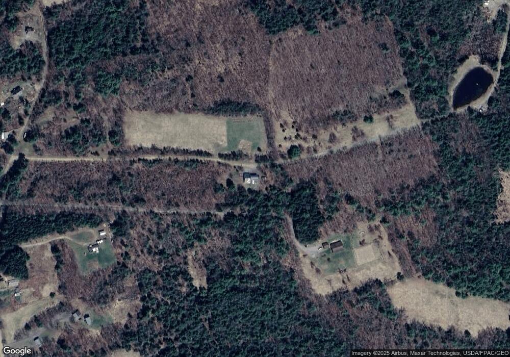
Map
Nearby Homes
- 263 & 265 Stetson Rd
- 1021 Greenbush Rd
- 43 Lachance Dr
- Lot 3-12 Shady Ln
- 107 Shady Ln
- 106 Shady Ln
- 63 Grandview Dr
- 5,7,9 Renewal St
- 80 Jordon Rd
- 37 Loon Dr
- 53 Village Rd
- 30 Grand View Dr
- 701 Stetson Rd
- 39 Burleigh Rd
- 53 Burleigh Rd
- 757 Chamberlain Meeting House Rd
- 62 Cobb Rd
- 1118 Exeter Rd
- Lot 2 Golf Course Cameo Sub Rd
- 281 St Albans Rd
- 233 Pratt Rd
- 129 Simon Ln
- 219 Pratt Rd
- 203 Pratt Rd
- 246 Pratt Rd
- 215 Pratt Rd
- 216 Pratt Rd
- 171 Pratt Rd
- 172 Pratt Rd
- 1 Brooks Pond Dr
- 2 Brooks Pond Dr
- 6 Brooks Pond Roa D
- lot 6 Brooks Pond Rd
- 6 Brooks Pond Rd
- 6 Brooks Pond Dr
- 32 Brooks Pond Dr
- 0 Brooks Pond Rd Unit 393069
- 0 Brooks Pond Rd Unit 641077
- 0 Brooks Pond Dr Unit 956378
- 0 Brooks Pond Dr Unit 956379