51 W Shore Rd Marlow, NH 03456
Estimated Value: $401,000 - $872,211
4
Beds
2
Baths
1,521
Sq Ft
$421/Sq Ft
Est. Value
About This Home
This home is located at 51 W Shore Rd, Marlow, NH 03456 and is currently estimated at $640,553, approximately $421 per square foot. 51 W Shore Rd is a home located in Cheshire County with nearby schools including Keene High School.
Ownership History
Date
Name
Owned For
Owner Type
Purchase Details
Closed on
Jun 12, 2020
Sold by
Blake Jerome G and Blake Gaylie S
Bought by
Allen David W and Phillips Jordana
Current Estimated Value
Home Financials for this Owner
Home Financials are based on the most recent Mortgage that was taken out on this home.
Original Mortgage
$220,000
Outstanding Balance
$195,013
Interest Rate
3.2%
Mortgage Type
Purchase Money Mortgage
Estimated Equity
$445,540
Purchase Details
Closed on
Jul 13, 2015
Sold by
White Robert G and Segien Susan M
Bought by
Blake Jerome G and Blake Gaylie S
Purchase Details
Closed on
Sep 15, 2004
Sold by
Pinard Stephen R and Pinard Catherine A
Bought by
White Robert G
Home Financials for this Owner
Home Financials are based on the most recent Mortgage that was taken out on this home.
Original Mortgage
$185,000
Interest Rate
6.02%
Mortgage Type
Purchase Money Mortgage
Create a Home Valuation Report for This Property
The Home Valuation Report is an in-depth analysis detailing your home's value as well as a comparison with similar homes in the area
Home Values in the Area
Average Home Value in this Area
Purchase History
| Date | Buyer | Sale Price | Title Company |
|---|---|---|---|
| Allen David W | $275,000 | None Available | |
| Blake Jerome G | $260,000 | -- | |
| White Robert G | $320,100 | -- |
Source: Public Records
Mortgage History
| Date | Status | Borrower | Loan Amount |
|---|---|---|---|
| Open | Allen David W | $220,000 | |
| Previous Owner | White Robert G | $120,500 | |
| Previous Owner | White Robert G | $185,000 |
Source: Public Records
Tax History Compared to Growth
Tax History
| Year | Tax Paid | Tax Assessment Tax Assessment Total Assessment is a certain percentage of the fair market value that is determined by local assessors to be the total taxable value of land and additions on the property. | Land | Improvement |
|---|---|---|---|---|
| 2024 | $14,082 | $454,260 | $184,000 | $270,260 |
| 2023 | $5,408 | $187,660 | $184,000 | $3,660 |
| 2022 | $7,182 | $278,060 | $184,000 | $94,060 |
| 2021 | $6,994 | $283,060 | $184,000 | $99,060 |
| 2020 | $8,410 | $283,060 | $184,000 | $99,060 |
| 2019 | $8,400 | $263,160 | $164,000 | $99,160 |
| 2018 | $6,588 | $259,060 | $164,000 | $95,060 |
| 2016 | $5,685 | $258,760 | $164,000 | $94,760 |
| 2015 | $6,622 | $258,760 | $164,000 | $94,760 |
| 2014 | $6,837 | $274,260 | $178,000 | $96,260 |
| 2009 | $7,026 | $327,530 | $198,000 | $129,530 |
Source: Public Records
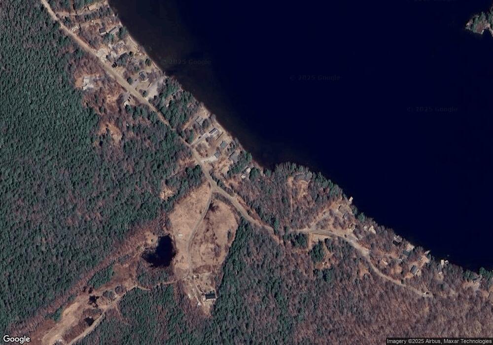
Map
Nearby Homes
- 16 Mckinnon Rd
- 223 Long Pond Rd
- 264 Olds Rd
- 0 Olds Rd
- 150 Jefferson Dr
- 335 Coolidge Dr
- 24 Cleveland Cir
- 286 Presidential Dr
- 34 Adams Dr
- 131 Adams Dr
- 124 Marlow Hill Rd
- 133 Earl Ln
- 2nd Nh Turnpike
- 13 Mountain Rd
- 0 Flagg Rd Unit 10 5063404
- 236 Washington Pond Rd
- 7-46 N Main St
- 8 Hillside Dr
- 911 Valley Rd
- 407 Cold River Rd