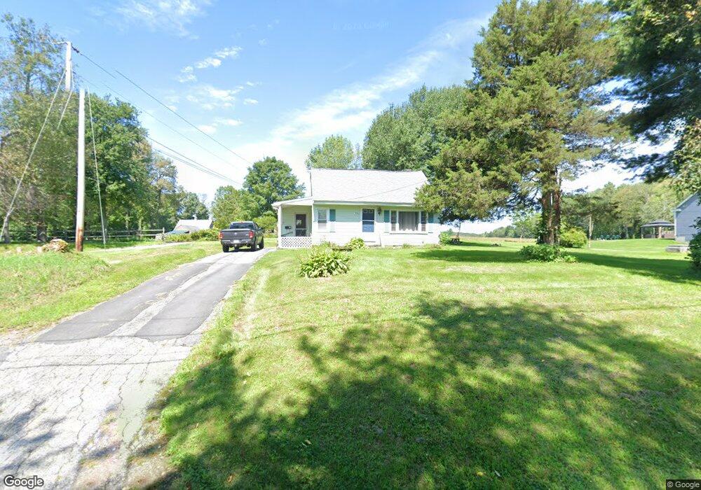
510 Central Turnpike Sutton, MA 01590
Estimated Value: $173,000 - $453,496
2
Beds
2
Baths
1,037
Sq Ft
$309/Sq Ft
Est. Value
About This Home
This home is located at 510 Central Turnpike, Sutton, MA 01590 and is currently estimated at $320,124, approximately $308 per square foot. 510 Central Turnpike is a home located in Worcester County with nearby schools including Sutton Elementary School, Sutton Middle School, and Sutton High School.
Ownership History
Date
Name
Owned For
Owner Type
Purchase Details
Closed on
Dec 29, 1998
Sold by
Lazaro James D and Lazaro Gloria R
Bought by
Linder Kenneth M
Current Estimated Value
Purchase Details
Closed on
Nov 6, 1996
Sold by
Ferrantino J Ferdinand and Farrand Deborah
Bought by
Linder Kenneth M
Home Financials for this Owner
Home Financials are based on the most recent Mortgage that was taken out on this home.
Original Mortgage
$52,500
Interest Rate
7.81%
Create a Home Valuation Report for This Property
The Home Valuation Report is an in-depth analysis detailing your home's value as well as a comparison with similar homes in the area
Home Values in the Area
Average Home Value in this Area
Purchase History
We collect this data history from publicly available records. To have your information removed, we recommend requesting removal directly through your county’s website.
| Date | Buyer | Sale Price | Title Company |
|---|---|---|---|
| Linder Kenneth M | $120,000 | -- | |
| Linder Kenneth M | $120,000 | -- | |
| Linder Kenneth M | $75,000 | -- | |
| Linder Kenneth M | $75,000 | -- |
Source: Public Records
Mortgage History
We collect this data history from publicly available records. To have your information removed, we recommend requesting removal directly through your county’s website.
| Date | Status | Borrower | Loan Amount |
|---|---|---|---|
| Previous Owner | Linder Kenneth M | $52,500 |
Source: Public Records
Tax History
| Year | Tax Paid | Tax Assessment Tax Assessment Total Assessment is a certain percentage of the fair market value that is determined by local assessors to be the total taxable value of land and additions on the property. | Land | Improvement |
|---|---|---|---|---|
| 2025 | $1,921 | $159,800 | $159,800 | $0 |
| 2024 | $4,059 | $320,100 | $152,500 | $167,600 |
| 2023 | $3,748 | $270,600 | $137,800 | $132,800 |
| 2022 | $3,268 | $215,300 | $105,000 | $110,300 |
| 2021 | $4,861 | $209,700 | $105,000 | $104,700 |
| 2020 | $11,235 | $205,100 | $105,000 | $100,100 |
| 2019 | $3,140 | $190,100 | $101,200 | $88,900 |
| 2018 | $3,053 | $184,500 | $101,200 | $83,300 |
| 2017 | $10,116 | $173,900 | $88,400 | $85,500 |
| 2016 | $2,844 | $170,500 | $88,400 | $82,100 |
| 2015 | $2,769 | $166,000 | $88,400 | $77,600 |
| 2014 | $2,768 | $164,000 | $91,200 | $72,800 |
Source: Public Records
Map
Nearby Homes
- 399 Central Turnpike
- 416 Boston Rd
- 278 Putnam Hill Rd
- 37 Putnam Hill Rd
- 324 W Sutton Rd
- 369 Central Turnpike
- 96 Town Farm Rd
- 270 Mendon Rd
- 5 Putnam Hill Rd
- 51 Central Turnpike
- 66 Hutchinson Rd
- 198 Uxbridge Rd
- 37 W Millbury Rd
- 10 Southwick Rd
- 63 Uxbridge Rd
- 186 8 Lots Rd
- 3 Walters Dr
- 47 Singletary Ave
- 1 Burbank Rd
- 18 Lakeshore Dr
- 508 Central Turnpike
- 117 Mendon Rd
- 115 Mendon Rd
- 121 Mendon Rd
- 514 Central Turnpike
- 503 Central Turnpike
- 520 Central Turnpike
- 122 Mendon Rd
- 118 Mendon Rd
- 127 Mendon Rd
- 114 Mendon Rd
- 524 Central Turnpike
- 5 Medbury Ln
- 5 Medbury Ln
- 8 Medbury Ln
- 108 Mendon Rd
- 161 Putnam Hill Rd
- 532 Central Turnpike
- 134 Mendon Rd
- 149 Putnam Hill Rd
Your Personal Tour Guide
Ask me questions while you tour the home.