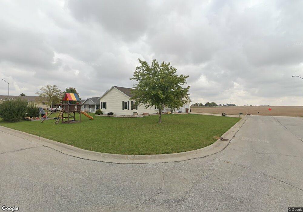
510 E 8th St Glidden, IA 51443
Estimated Value: $236,000 - $300,000
3
Beds
2
Baths
1,568
Sq Ft
$166/Sq Ft
Est. Value
About This Home
This home is located at 510 E 8th St, Glidden, IA 51443 and is currently estimated at $259,581, approximately $165 per square foot. 510 E 8th St is a home located in Carroll County with nearby schools including Glidden-Ralston Elementary School and Glidden-Ralston Junior/Senior High School.
Ownership History
Date
Name
Owned For
Owner Type
Purchase Details
Closed on
Aug 5, 2011
Sold by
Mason Tim I and Mason Jacqueline S
Bought by
Whitaker Anthony B and Whitaker Kimberly R
Current Estimated Value
Home Financials for this Owner
Home Financials are based on the most recent Mortgage that was taken out on this home.
Original Mortgage
$139,950
Outstanding Balance
$96,719
Interest Rate
4.53%
Mortgage Type
New Conventional
Estimated Equity
$162,862
Create a Home Valuation Report for This Property
The Home Valuation Report is an in-depth analysis detailing your home's value as well as a comparison with similar homes in the area
Purchase History
| Date | Buyer | Sale Price | Title Company |
|---|---|---|---|
| Whitaker Anthony B | $155,500 | Security Title & Investment |
Source: Public Records
Mortgage History
| Date | Status | Borrower | Loan Amount |
|---|---|---|---|
| Open | Whitaker Anthony B | $139,950 |
Source: Public Records
Tax History
| Year | Tax Paid | Tax Assessment Tax Assessment Total Assessment is a certain percentage of the fair market value that is determined by local assessors to be the total taxable value of land and additions on the property. | Land | Improvement |
|---|---|---|---|---|
| 2025 | $3,047 | $251,640 | $19,200 | $232,440 |
| 2024 | $29 | $224,260 | $19,200 | $205,060 |
| 2023 | $2,840 | $224,260 | $19,200 | $205,060 |
| 2022 | $2,718 | $186,080 | $19,230 | $166,850 |
| 2021 | $2,718 | $186,080 | $19,230 | $166,850 |
| 2020 | $2,686 | $186,080 | $19,230 | $166,850 |
| 2019 | $2,570 | $186,080 | $19,230 | $166,850 |
| 2018 | $2,266 | $186,080 | $19,230 | $166,850 |
| 2017 | $2,352 | $163,870 | $15,429 | $148,441 |
| 2016 | $2,316 | $153,150 | $0 | $0 |
| 2015 | $2,316 | $137,980 | $0 | $0 |
| 2014 | $2,138 | $136,200 | $0 | $0 |
Source: Public Records
Map
Nearby Homes
- 807 Colorado St
- 601 E 5th St
- 32771 Highway 30
- 429 E 3rd St
- 105 Colorado St
- 19094 Robin Ave
- 25774 180th St
- 0 Northridge Dr Unit 6151180
- 1505 E 10th St
- 1409 E 10th St
- 1407 E 10th St
- 1401 E 11th St
- 1399 E 11th St
- 01 Bella Vista Dr
- 1413 -1415 E 10th St
- 0 Monterey Dr Unit 6307161
- 0 Monterey Dr Unit 6137563
- 1550 Edgewood Dr
- 1206 Amy Ave
- 1059 Amy Ave
Your Personal Tour Guide
Ask me questions while you tour the home.