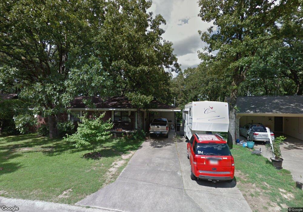
510 E Devon Ave Sherwood, AR 72120
Estimated Value: $184,470 - $214,000
--
Bed
3
Baths
1,650
Sq Ft
$122/Sq Ft
Est. Value
About This Home
This home is located at 510 E Devon Ave, Sherwood, AR 72120 and is currently estimated at $201,618, approximately $122 per square foot. 510 E Devon Ave is a home located in Pulaski County with nearby schools including Sherwood Elementary School, Sylvan Hills Middle School, and Sylvan Hills High School.
Ownership History
Date
Name
Owned For
Owner Type
Purchase Details
Closed on
Jul 18, 2005
Sold by
Young Lawrence N and Young Virginia Umsted
Bought by
Crace Richert K and Crace Denise Estelle
Current Estimated Value
Home Financials for this Owner
Home Financials are based on the most recent Mortgage that was taken out on this home.
Original Mortgage
$119,059
Outstanding Balance
$61,949
Interest Rate
5.61%
Mortgage Type
Purchase Money Mortgage
Estimated Equity
$139,669
Create a Home Valuation Report for This Property
The Home Valuation Report is an in-depth analysis detailing your home's value as well as a comparison with similar homes in the area
Home Values in the Area
Average Home Value in this Area
Purchase History
| Date | Buyer | Sale Price | Title Company |
|---|---|---|---|
| Crace Richert K | $120,000 | American Abstract & Title Co |
Source: Public Records
Mortgage History
| Date | Status | Borrower | Loan Amount |
|---|---|---|---|
| Open | Crace Richert K | $119,059 |
Source: Public Records
Tax History Compared to Growth
Tax History
| Year | Tax Paid | Tax Assessment Tax Assessment Total Assessment is a certain percentage of the fair market value that is determined by local assessors to be the total taxable value of land and additions on the property. | Land | Improvement |
|---|---|---|---|---|
| 2025 | $1,430 | $30,731 | $6,200 | $24,531 |
| 2024 | $1,311 | $30,731 | $6,200 | $24,531 |
| 2023 | $1,311 | $30,731 | $6,200 | $24,531 |
| 2022 | $1,409 | $30,731 | $6,200 | $24,531 |
| 2021 | $1,309 | $22,890 | $4,800 | $18,090 |
| 2020 | $928 | $22,890 | $4,800 | $18,090 |
| 2019 | $928 | $22,890 | $4,800 | $18,090 |
| 2018 | $953 | $22,890 | $4,800 | $18,090 |
| 2017 | $951 | $22,890 | $4,800 | $18,090 |
| 2016 | $906 | $22,040 | $4,400 | $17,640 |
| 2015 | $1,120 | $22,040 | $4,400 | $17,640 |
| 2014 | $1,120 | $22,040 | $4,400 | $17,640 |
Source: Public Records
Map
Nearby Homes
- 901 Coulter Rd
- 604 Beverly Ave E
- 304 Verona Ave
- 8 Beaconsfield Ct
- 1003 Silver Creek Dr
- 300 Burntwood Rd
- 614 Beaconsfield Rd
- 1503 Hawkwood Rd
- 503 Brent Dr
- 3305 Seminole Trail
- 205 Spring River Rd
- 926 Karla Cir
- 405 Fork River Rd
- 10 Campden Hill Rd
- 201 Delmont Ave
- 400 Fork River Rd
- 401 Country Club Rd
- 307 Country Club Rd
- 11 Daniel Dr
- 1 Sherwood - Multi Package Properties Dr