5100 Rosalind Ln Powell, OH 43065
Liberty Township NeighborhoodEstimated Value: $1,082,000 - $1,410,000
5
Beds
6
Baths
4,693
Sq Ft
$276/Sq Ft
Est. Value
About This Home
This home is located at 5100 Rosalind Ln, Powell, OH 43065 and is currently estimated at $1,297,351, approximately $276 per square foot. 5100 Rosalind Ln is a home located in Delaware County with nearby schools including Indian Springs Elementary School, Hyatts Middle School, and Olentangy Liberty High School.
Ownership History
Date
Name
Owned For
Owner Type
Purchase Details
Closed on
Jun 6, 2005
Sold by
Toll Land Xxvi Lp
Bought by
Mayo Joseph R and Mayo Kimberly S
Current Estimated Value
Home Financials for this Owner
Home Financials are based on the most recent Mortgage that was taken out on this home.
Original Mortgage
$500,000
Interest Rate
5.37%
Mortgage Type
Fannie Mae Freddie Mac
Create a Home Valuation Report for This Property
The Home Valuation Report is an in-depth analysis detailing your home's value as well as a comparison with similar homes in the area
Home Values in the Area
Average Home Value in this Area
Purchase History
| Date | Buyer | Sale Price | Title Company |
|---|---|---|---|
| Mayo Joseph R | $746,500 | Stewart Title Agency |
Source: Public Records
Mortgage History
| Date | Status | Borrower | Loan Amount |
|---|---|---|---|
| Open | Mayo Joseph R | $330,400 | |
| Closed | Mayo Joseph R | $417,000 | |
| Closed | Mayo Joseph R | $233,250 | |
| Closed | Mayo Joseph R | $500,000 | |
| Closed | Mayo Joseph R | $216,000 | |
| Closed | Mayo Joseph R | $500,000 | |
| Closed | Mayo Joseph R | $171,773 |
Source: Public Records
Tax History Compared to Growth
Tax History
| Year | Tax Paid | Tax Assessment Tax Assessment Total Assessment is a certain percentage of the fair market value that is determined by local assessors to be the total taxable value of land and additions on the property. | Land | Improvement |
|---|---|---|---|---|
| 2024 | $21,554 | $411,360 | $74,380 | $336,980 |
| 2023 | $21,638 | $411,360 | $74,380 | $336,980 |
| 2022 | $18,709 | $282,000 | $49,000 | $233,000 |
| 2021 | $18,823 | $282,000 | $49,000 | $233,000 |
| 2020 | $18,914 | $282,000 | $49,000 | $233,000 |
| 2019 | $16,537 | $257,040 | $49,000 | $208,040 |
| 2018 | $16,614 | $257,040 | $49,000 | $208,040 |
| 2017 | $15,721 | $241,120 | $45,850 | $195,270 |
| 2016 | $16,589 | $241,120 | $45,850 | $195,270 |
| 2015 | $15,002 | $241,120 | $45,850 | $195,270 |
| 2014 | $15,209 | $241,120 | $45,850 | $195,270 |
| 2013 | $15,075 | $233,590 | $45,850 | $187,740 |
Source: Public Records
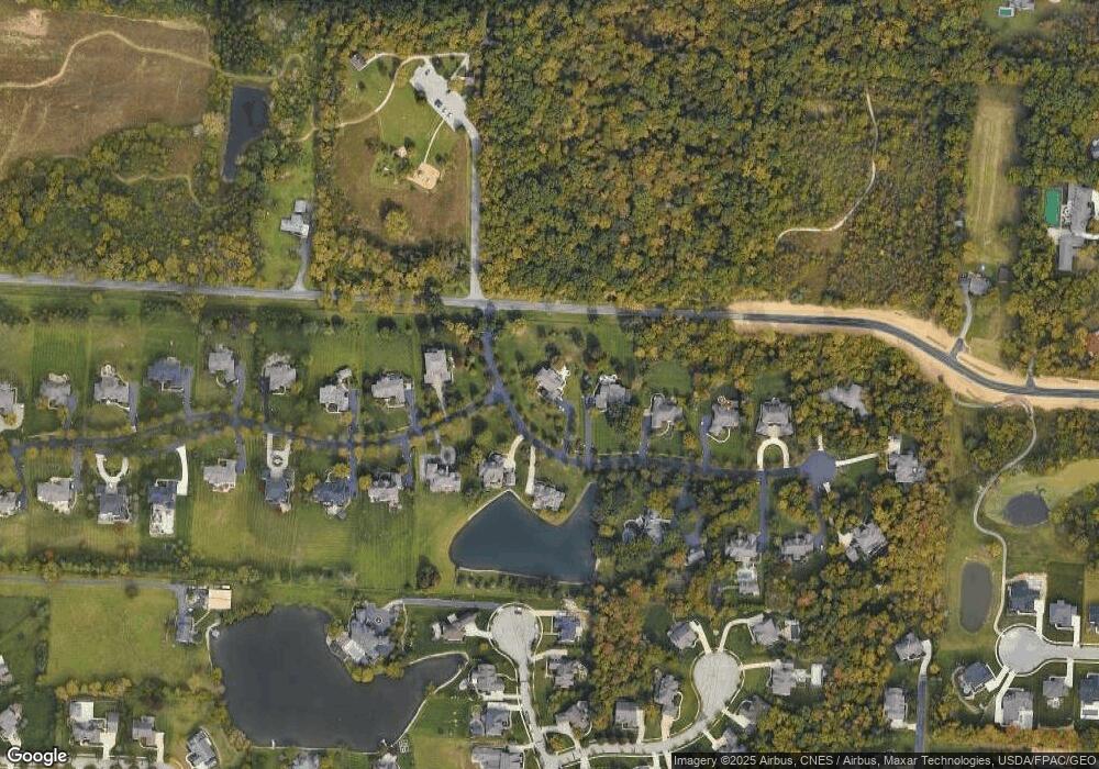
Map
Nearby Homes
- 9196 McDowall Dr
- 4785 Bayhill Dr
- 4530 Cascade Dr
- 4960 Lakeview Dr
- 4415 Millwater Dr
- 4256 Landhigh Lakes Dr
- 9545 Gibson Dr
- 8763 Westward Way
- 8796 Bakircay Ln
- 9461 Waterford Dr
- 8724 Filiz Ln
- 8312 Steitz Rd
- 4220 Rutherford Rd
- 4003 Laurel Valley Dr
- 0 Dublin Rd Unit 225011118
- 8393 Coldwater Dr
- 9038 Courtside Ln
- 8179 Joshua Way
- 8083 Farm Crossing Cir Unit 8083
- 0 N Park Place W Unit 225035823
- 4919 Rosalind Blvd
- 5034 Rosalind Ln
- 5106 Rosalind Blvd
- 4978 Rosalind Blvd
- 5006 Rosalind Ln
- 5885 Rosalind Ln
- 0 Rosalind Ln
- 5085 Rosalind Ln
- 5055 Rosalind Ln
- 5117 Rosalind Blvd
- 5142 Rosalind Blvd
- 4978 Rosalind Ln
- 5005 Rosalind Ln
- 5151 Rosalind Blvd
- 5180 Rosalind Blvd
- 4948 Rosalind Ln
- 9236 Deer Path Ct
- 9239 Deer Path Ct
- 4961 Rosalind Ln
- 5208 Rosalind Blvd