5103 Old Hickory Tree Rd Morganton, NC 28655
Estimated Value: $234,000 - $438,000
3
Beds
3
Baths
2,275
Sq Ft
$150/Sq Ft
Est. Value
About This Home
This home is located at 5103 Old Hickory Tree Rd, Morganton, NC 28655 and is currently estimated at $341,319, approximately $150 per square foot. 5103 Old Hickory Tree Rd is a home with nearby schools including W.A. Young Elementary School, Table Rock Middle School, and Freedom High School.
Ownership History
Date
Name
Owned For
Owner Type
Purchase Details
Closed on
Sep 20, 2010
Sold by
Poteet Jack R and Poteet Emily J
Bought by
Malatesta John A and Malatesta Mary
Current Estimated Value
Home Financials for this Owner
Home Financials are based on the most recent Mortgage that was taken out on this home.
Original Mortgage
$16,000
Interest Rate
4.52%
Mortgage Type
Seller Take Back
Create a Home Valuation Report for This Property
The Home Valuation Report is an in-depth analysis detailing your home's value as well as a comparison with similar homes in the area
Home Values in the Area
Average Home Value in this Area
Purchase History
| Date | Buyer | Sale Price | Title Company |
|---|---|---|---|
| Malatesta John A | $36,000 | None Available |
Source: Public Records
Mortgage History
| Date | Status | Borrower | Loan Amount |
|---|---|---|---|
| Closed | Malatesta John A | $16,000 |
Source: Public Records
Tax History Compared to Growth
Tax History
| Year | Tax Paid | Tax Assessment Tax Assessment Total Assessment is a certain percentage of the fair market value that is determined by local assessors to be the total taxable value of land and additions on the property. | Land | Improvement |
|---|---|---|---|---|
| 2025 | $1,752 | $255,353 | $40,784 | $214,569 |
| 2024 | $1,761 | $255,353 | $40,784 | $214,569 |
| 2023 | $1,761 | $255,353 | $40,784 | $214,569 |
| 2022 | $1,539 | $181,038 | $25,693 | $155,345 |
| 2021 | $1,533 | $181,038 | $25,693 | $155,345 |
| 2020 | $1,529 | $181,038 | $25,693 | $155,345 |
| 2019 | $1,529 | $181,038 | $25,693 | $155,345 |
| 2018 | $1,387 | $165,445 | $25,693 | $139,752 |
| 2017 | $1,385 | $165,445 | $25,693 | $139,752 |
| 2016 | $1,355 | $165,445 | $25,693 | $139,752 |
| 2015 | $1,288 | $165,445 | $25,693 | $139,752 |
| 2014 | $1,286 | $157,157 | $22,500 | $134,657 |
| 2013 | $1,286 | $157,157 | $22,500 | $134,657 |
Source: Public Records
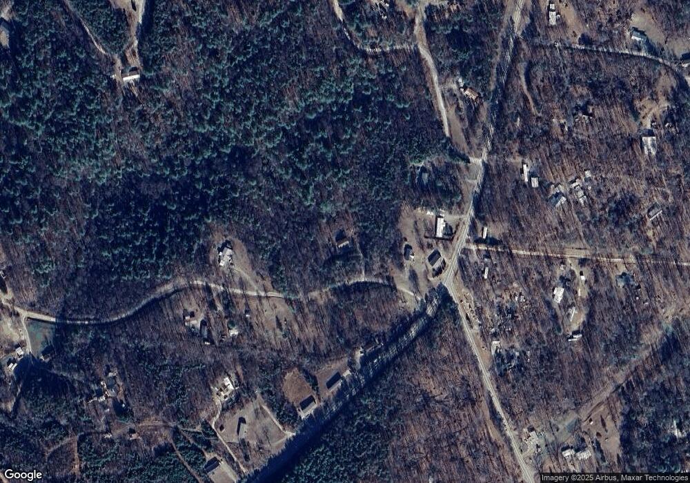
Map
Nearby Homes
- 5156 New Haven Cir
- 6261 Lor Rd
- 4832 Windy Ridge Rd Unit 2
- 175 Shilah Lane Dr
- 5268 Avenida de Oro Rd
- 4970 Morrison Rd
- tbd Biggerstaff Loop Unit lot 21
- tbd Biggerstaff Loop Unit lot 12
- tbd Biggerstaff Loop Unit lot 11
- tbd Biggerstaff Loop Unit lot 10
- 57 Hazel Dr
- 0 Doe Ct Unit 19 CAR4005590
- 0 Doe Ct Unit 18
- 0 Elk Ct Unit 26
- 0 Elk Ct Unit 27 CAR4005593
- 2130 South Dr Unit Lot 34
- 159 Pilot Ridge Rd Unit 25
- 4454 Windy Hill Rd
- 235 Pilot Ridge Rd Unit 24
- 481 Pilot Ridge Rd Unit 27
- 0 Gold Mine Rd
- 6320 Dysartsville Rd
- 6304 Dysartsville Rd
- 5257 Gold Mine Rd
- 5085 Old Hickory Tree Rd
- 6285 Dysartsville Rd
- 6418 Dysartsville Rd
- 6442 Dysartsville Rd
- 5291 New Haven Cir
- 6003 Goldmine Rd
- 2971 Dysartsville Rd
- V/L Steller View Ct Unit 2
- 6225 Dysartsville Rd
- 6291 Lor Rd
- 4849 Windy Ridge Rd
- 6150 Dysartsville Rd Unit 6160
- 7 Mountain Scene Dr
- 4991 Windy Ridge Rd
- 6189 Dysartsville Rd Unit 6191
- 6035 Gold Mine Rd