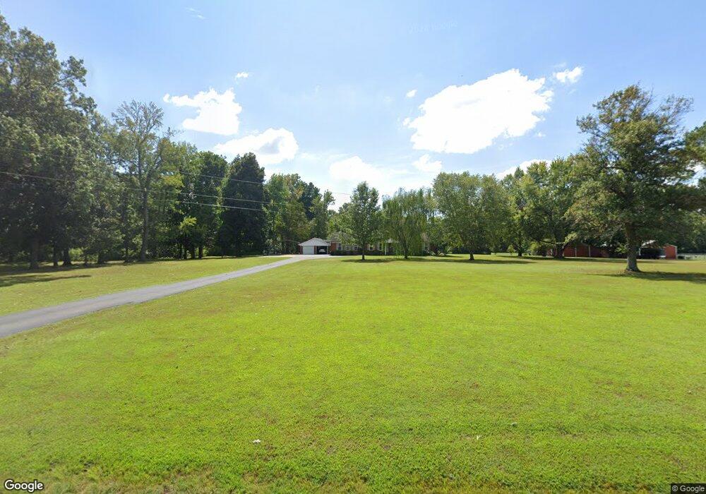
5104 Mount Zion Rd Union City, TN 38261
Estimated Value: $456,000 - $776,000
--
Bed
3
Baths
3,247
Sq Ft
$181/Sq Ft
Est. Value
About This Home
This home is located at 5104 Mount Zion Rd, Union City, TN 38261 and is currently estimated at $587,885, approximately $181 per square foot. 5104 Mount Zion Rd is a home located in Obion County.
Ownership History
Date
Name
Owned For
Owner Type
Purchase Details
Closed on
Nov 21, 2002
Bought by
Middlebrook Keith and Middlebrook Donna B
Current Estimated Value
Purchase Details
Closed on
Mar 7, 1995
Sold by
Hayes David G
Bought by
Cook Johnnie K
Purchase Details
Closed on
Mar 3, 1995
Bought by
Clendenia John B
Purchase Details
Closed on
Aug 1, 1989
Purchase Details
Closed on
Jan 1, 1982
Bought by
Hayes David G and Hayes Georgiana S
Create a Home Valuation Report for This Property
The Home Valuation Report is an in-depth analysis detailing your home's value as well as a comparison with similar homes in the area
Home Values in the Area
Average Home Value in this Area
Purchase History
| Date | Buyer | Sale Price | Title Company |
|---|---|---|---|
| Middlebrook Keith | $171,000 | -- | |
| Cook Johnnie K | $30,800 | -- | |
| Cook Johnnie K | $30,800 | -- | |
| Clendenia John B | $185,000 | -- | |
| -- | $100 | -- | |
| Hayes David G | $58,000 | -- |
Source: Public Records
Tax History Compared to Growth
Tax History
| Year | Tax Paid | Tax Assessment Tax Assessment Total Assessment is a certain percentage of the fair market value that is determined by local assessors to be the total taxable value of land and additions on the property. | Land | Improvement |
|---|---|---|---|---|
| 2025 | $1,594 | $115,450 | $0 | $0 |
| 2024 | $1,594 | $115,450 | $10,325 | $105,125 |
| 2023 | $1,594 | $115,450 | $10,325 | $105,125 |
| 2022 | $1,389 | $73,125 | $10,450 | $62,675 |
| 2021 | $1,389 | $73,125 | $10,450 | $62,675 |
| 2020 | $1,340 | $70,500 | $10,450 | $60,050 |
| 2019 | $1,340 | $70,500 | $10,450 | $60,050 |
| 2018 | $1,343 | $70,500 | $10,450 | $60,050 |
| 2017 | $1,380 | $68,875 | $8,950 | $59,925 |
| 2016 | $1,380 | $68,875 | $8,950 | $59,925 |
| 2015 | $1,190 | $59,400 | $8,950 | $50,450 |
| 2014 | $891 | $44,450 | $8,950 | $35,500 |
Source: Public Records
Map
Nearby Homes
- 5680 Floyd Shuck Rd
- 874 Gum St
- 915 Gum St
- 370 S Thompson St
- 3305 Cottonwood Dr
- 3611 W Main St
- 3412 Lakeview Dr
- 1535 Lattus Ln
- 903 Sherwood Dr
- 0 Mosswood Dr Unit RRA45928
- 0 Mosswood Dr Unit 44704
- 841 Mosswood Dr
- 1449 Forest Dr
- 1414 Forest Dr
- 922 N Division St
- 604 Denver Dr
- 2703 Salem Dr
- 210 Graham St
- 501 N 1st St
- 1009 E Cheatham St
- 5168 Mount Zion Rd
- 4982 Mount Zion Rd
- 5196 Mount Zion Rd
- 4860 Mount Zion Rd
- 5237 Mount Zion Rd
- 5246 Mount Zion Rd
- 5258 Mount Zion Rd
- 4853 Mount Zion Rd
- 5285 Mount Zion Rd
- 5061 Mount Zion Rd
- 4807 Mount Zion Rd
- 4817 Mount Zion Rd
- 4813 Mount Zion Rd
- 4777 Mount Zion Rd
- 4753 Mount Zion Rd
- 2773 Armstrong Rd
- 4891 Corum Rd
- 4903 Corum Rd
- 3115 Armstrong Rd
- 4606 Mount Zion Rd