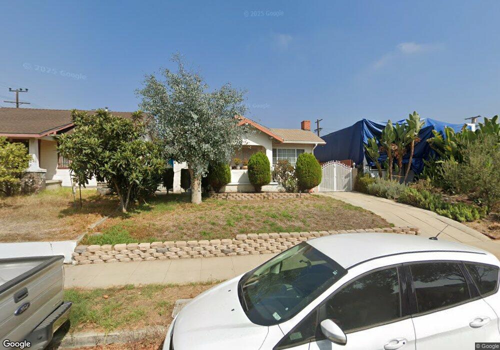
5105 Range View Ave Los Angeles, CA 90042
Highland Park NeighborhoodEstimated Value: $1,179,492 - $1,280,000
3
Beds
2
Baths
1,322
Sq Ft
$934/Sq Ft
Est. Value
About This Home
This home is located at 5105 Range View Ave, Los Angeles, CA 90042 and is currently estimated at $1,235,373, approximately $934 per square foot. 5105 Range View Ave is a home located in Los Angeles County with nearby schools including Buchanan Street Elementary and Franklin Middle School & High School.
Ownership History
Date
Name
Owned For
Owner Type
Purchase Details
Closed on
Oct 9, 2000
Sold by
Kin Kwok Shum and Wing Kwong Shum
Bought by
Matic Bonifacio
Current Estimated Value
Home Financials for this Owner
Home Financials are based on the most recent Mortgage that was taken out on this home.
Original Mortgage
$185,000
Outstanding Balance
$67,660
Interest Rate
7.96%
Mortgage Type
Stand Alone First
Estimated Equity
$1,167,713
Purchase Details
Closed on
Mar 16, 1995
Sold by
Sum Kin Ming
Bought by
Shum Kin Kwok
Create a Home Valuation Report for This Property
The Home Valuation Report is an in-depth analysis detailing your home's value as well as a comparison with similar homes in the area
Home Values in the Area
Average Home Value in this Area
Purchase History
| Date | Buyer | Sale Price | Title Company |
|---|---|---|---|
| Matic Bonifacio | $185,000 | Lawyers Title | |
| Shum Kin Kwok | -- | Lawyers Title | |
| Shum Kin Kwok | -- | -- |
Source: Public Records
Mortgage History
| Date | Status | Borrower | Loan Amount |
|---|---|---|---|
| Open | Matic Bonifacio | $185,000 | |
| Closed | Matic Bonifacio | $27,750 |
Source: Public Records
Tax History
| Year | Tax Paid | Tax Assessment Tax Assessment Total Assessment is a certain percentage of the fair market value that is determined by local assessors to be the total taxable value of land and additions on the property. | Land | Improvement |
|---|---|---|---|---|
| 2025 | $3,455 | $278,739 | $176,589 | $102,150 |
| 2024 | $3,455 | $273,275 | $173,127 | $100,148 |
| 2023 | $3,390 | $267,918 | $169,733 | $98,185 |
| 2022 | $3,235 | $262,665 | $166,405 | $96,260 |
| 2021 | $3,189 | $257,516 | $163,143 | $94,373 |
| 2019 | $3,094 | $249,880 | $158,305 | $91,575 |
| 2018 | $2,999 | $244,981 | $155,201 | $89,780 |
| 2016 | $2,852 | $235,470 | $149,175 | $86,295 |
| 2015 | $2,811 | $231,934 | $146,935 | $84,999 |
| 2014 | $2,826 | $227,391 | $144,057 | $83,334 |
Source: Public Records
Map
Nearby Homes
- 5132 Range View Ave
- 5007 Almaden Dr
- 4920 Stratford Rd
- 5240 Barker Dr
- 1932 Phillips Way
- 1942 Phillips Way
- 1938 Phillips Way
- 5001 Buchanan St
- 1817 N Avenue 55
- 5144 Buchanan St
- 4816 Stratford Rd
- 5330 Lincoln Ave
- 1048 Dexter St
- 5055 Hub St
- 5118 Hub St
- 1393 N Avenue 57
- 5349 Baltimore St
- 1411 Armadale Ave
- 829 N Avenue 53
- 1333 Wildwood Dr
- 5109 Range View Ave
- 5103 Range View Ave
- 5113 Range View Ave
- 5117 Range View Ave
- 5106 Almaden Dr
- 5110 Almaden Dr
- 5100 Almaden Dr
- 1609 N Avenue 51
- 1609 North Avenue 51
- 5063 Range View Ave
- 5121 Range View Ave
- 1615 North Avenue 51
- 5061 Range View Ave
- 5104 Range View Ave
- 1615 N Avenue 51
- 5100 Range View Ave
- 5108 Range View Ave
- 5123 Range View Ave
- 5118 Range View Ave
- 5066 Almaden Dr
Your Personal Tour Guide
Ask me questions while you tour the home.