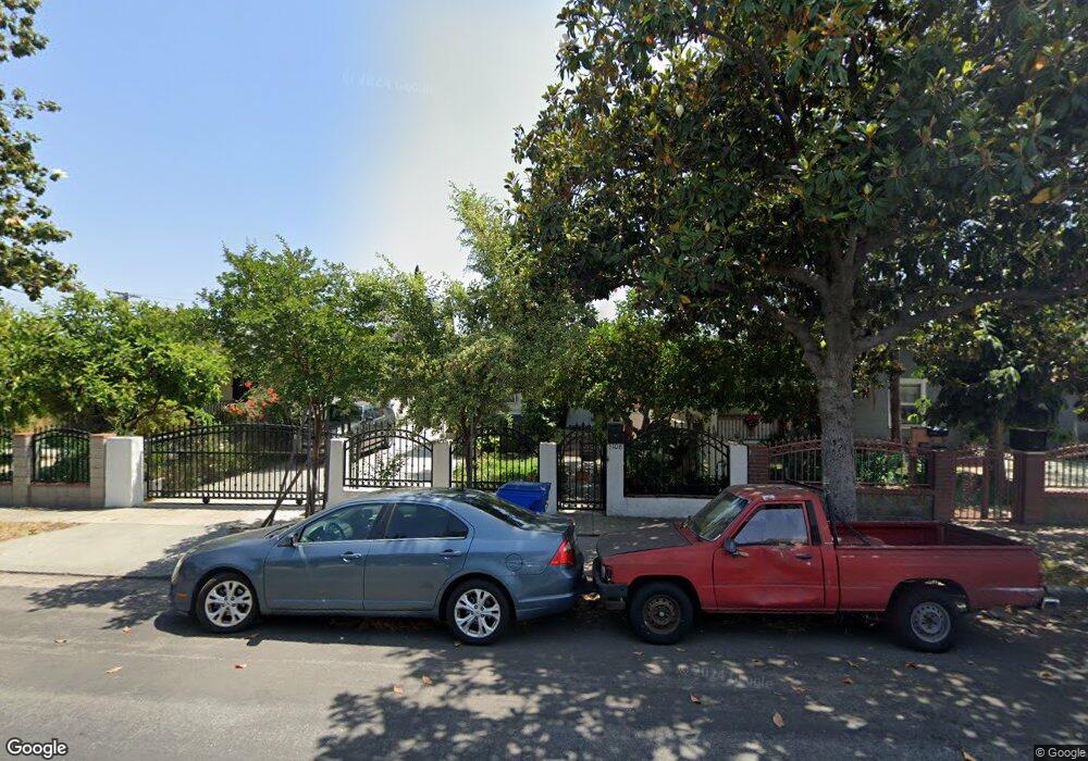
5106 Lincoln Ave Los Angeles, CA 90042
Estimated Value: $1,110,860 - $1,477,000
3
Beds
2
Baths
1,297
Sq Ft
$982/Sq Ft
Est. Value
About This Home
This home is located at 5106 Lincoln Ave, Los Angeles, CA 90042 and is currently estimated at $1,273,465, approximately $981 per square foot. 5106 Lincoln Ave is a home located in Los Angeles County with nearby schools including Buchanan Street Elementary, Benjamin Franklin High School, and Luther Burbank Middle School.
Ownership History
Date
Name
Owned For
Owner Type
Purchase Details
Closed on
Jun 14, 2024
Sold by
Ureno Samuel M and Miranda Samuel Ureno
Bought by
Samuel Ureno And Mercedes Mejia Trust and Miranda
Current Estimated Value
Purchase Details
Closed on
Sep 2, 2022
Sold by
Ureno Elias M
Bought by
Loading Town Trust and Miranda
Create a Home Valuation Report for This Property
The Home Valuation Report is an in-depth analysis detailing your home's value as well as a comparison with similar homes in the area
Home Values in the Area
Average Home Value in this Area
Purchase History
| Date | Buyer | Sale Price | Title Company |
|---|---|---|---|
| Samuel Ureno And Mercedes Mejia Trust | -- | None Listed On Document | |
| Loading Town Trust | -- | None Listed On Document |
Source: Public Records
Tax History Compared to Growth
Tax History
| Year | Tax Paid | Tax Assessment Tax Assessment Total Assessment is a certain percentage of the fair market value that is determined by local assessors to be the total taxable value of land and additions on the property. | Land | Improvement |
|---|---|---|---|---|
| 2025 | $3,745 | $296,675 | $243,484 | $53,191 |
| 2024 | $3,745 | $290,859 | $238,710 | $52,149 |
| 2023 | $6,823 | $547,562 | $402,006 | $145,556 |
| 2022 | $3,427 | $279,567 | $229,442 | $50,125 |
| 2021 | $3,379 | $274,087 | $224,944 | $49,143 |
| 2020 | $3,409 | $271,278 | $222,638 | $48,640 |
| 2019 | $3,278 | $265,960 | $218,273 | $47,687 |
| 2018 | $3,197 | $260,746 | $213,994 | $46,752 |
| 2016 | $3,043 | $250,624 | $205,686 | $44,938 |
| 2015 | $2,999 | $246,860 | $202,597 | $44,263 |
| 2014 | $3,019 | $242,025 | $198,629 | $43,396 |
Source: Public Records
Map
Nearby Homes
- 5125 Buchanan St
- 1113 N Avenue 50
- 5055 Hub St
- 1037 N Avenue 50
- 1048 Dexter St
- 4925 Buchanan St
- 5117 Stratford Rd
- 917 N Avenue 51
- 829 N Avenue 53
- 4854 Buchanan St
- 5252 Range View Ave
- 5413 Meridian St
- 865 N Avenue 50
- 5318 Irvington Place
- 4780 Hub St
- 1336 Armadale Ave
- 1813 N Avenue 53
- 925 927 El Paso Dr
- 459 Holland Ave
- 4707 Toland Way
- 5112 Lincoln Ave
- 5104 Lincoln Ave
- 5116 Lincoln Ave
- 5100 Lincoln Ave
- 1210 North Avenue 51
- 1210 N Avenue 51
- 5120 Lincoln Ave
- 5109 Buchanan St
- 5113 Buchanan St
- 5117 Buchanan St
- 5124 Lincoln Ave
- 5105 Buchanan St
- 1250 North Avenue 51
- 5101 Buchanan St
- 5121 Buchanan St
- 5058 Lincoln Ave
- 5117 Lincoln Ave
- 5109 Lincoln Ave
- 5113 5115 Lincoln Ave
- 1/2 Lincoln Ave