511 Apache Rd Westcliffe, CO 81252
Estimated Value: $471,000 - $559,000
2
Beds
3
Baths
2,550
Sq Ft
$202/Sq Ft
Est. Value
About This Home
This home is located at 511 Apache Rd, Westcliffe, CO 81252 and is currently estimated at $516,058, approximately $202 per square foot. 511 Apache Rd is a home with nearby schools including Custer County Elementary School, Custer Middle School, and Custer County High School.
Ownership History
Date
Name
Owned For
Owner Type
Purchase Details
Closed on
Dec 17, 1997
Sold by
Simmermeyer Mark R and Simmermeyer Jannefere L
Bought by
Brown Dennis L and Brown Gayle A
Current Estimated Value
Purchase Details
Closed on
Jan 29, 1992
Sold by
American West Development
Bought by
Simmermeyer Mark and Simmermeyer Jen
Purchase Details
Closed on
Jun 5, 1991
Sold by
Custer County Bank
Bought by
American West Dev
Purchase Details
Closed on
Apr 6, 1990
Sold by
Cuerno Verde
Bought by
Custer County Bank
Create a Home Valuation Report for This Property
The Home Valuation Report is an in-depth analysis detailing your home's value as well as a comparison with similar homes in the area
Purchase History
| Date | Buyer | Sale Price | Title Company |
|---|---|---|---|
| Brown Dennis L | $11,000 | -- | |
| Brown Dennis L | $11,500 | None Available | |
| Simmermeyer Mark | $13,900 | -- | |
| American West Dev | $3,300 | -- | |
| Custer County Bank | -- | -- |
Source: Public Records
Tax History
| Year | Tax Paid | Tax Assessment Tax Assessment Total Assessment is a certain percentage of the fair market value that is determined by local assessors to be the total taxable value of land and additions on the property. | Land | Improvement |
|---|---|---|---|---|
| 2025 | $1,829 | $27,060 | $0 | $0 |
| 2024 | $1,550 | $28,280 | $0 | $0 |
| 2023 | $1,550 | $28,280 | $0 | $0 |
| 2022 | $1,366 | $21,190 | $1,950 | $19,240 |
| 2021 | $1,400 | $21,190 | $1,950 | $19,240 |
| 2020 | $1,246 | $19,080 | $1,950 | $17,130 |
| 2019 | $1,239 | $19,080 | $1,950 | $17,130 |
| 2018 | $1,095 | $16,770 | $1,970 | $14,800 |
| 2017 | $1,062 | $16,767 | $1,966 | $14,801 |
| 2016 | $1,122 | $18,440 | $2,170 | $16,270 |
| 2015 | -- | $231,662 | $27,300 | $204,362 |
| 2012 | $1,121 | $236,092 | $27,300 | $208,792 |
Source: Public Records
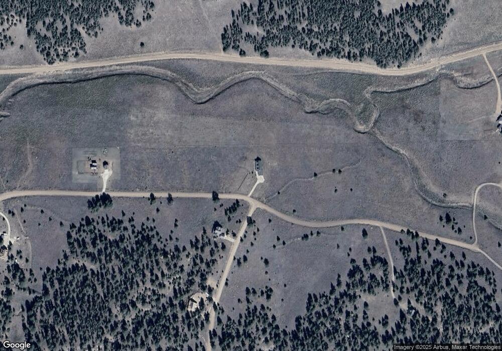
Map
Nearby Homes
- 111 Sioux Trail
- 533 Deerhaven Dr
- 47 Wykagyl Cir
- 1166 Wykagyl
- 46 Wykagyl Cir
- 832 Wykagyl Rd
- 31 Black Fawn Ln
- 800 Wet Mountain Trail
- 400 Ridge Rd
- TBD - Lot 21 Kiowa Rd
- 780 County Road 326
- 2405 Wykagyl Rd
- TBD Lot 21 Kiowa Unit 21
- TBD Lot 21 Kiowa
- 1009 Taos Trail
- 1009 Taos Tr
- 283 Gabbert Dr
- TBD Commanche Rd
- TBD Cr 328
- 426 Arapahoe Rd
- 47 Zuni Trail
- 724 Apache Rd
- 143 Zuni Trail
- 763 Apache Rd
- 69 Apache Rd
- 188 Zuni Trail
- 188 Zuni Trail Unit 13
- 377 Apache Rd
- 377 Apache Rd Unit 1
- 000 Zuni Trail
- 1240 County Road 320
- 1240 Cr 320
- 879 Apache Rd
- 338 Apache Rd
- 94 Sioux Trail
- 56 Sioux Trail
- 56 Sioux Trail Unit 36
- 111 Sioux Trail Unit 14
- 878 Apache Rd
- 342 Wykagyl Rd
Your Personal Tour Guide
Ask me questions while you tour the home.