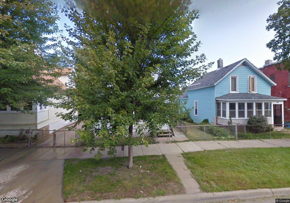
511 Blair Ave Saint Paul, MN 55103
Frogtown NeighborhoodEstimated Value: $208,000 - $245,000
2
Beds
2
Baths
1,374
Sq Ft
$165/Sq Ft
Est. Value
About This Home
This home is located at 511 Blair Ave, Saint Paul, MN 55103 and is currently estimated at $226,886, approximately $165 per square foot. 511 Blair Ave is a home located in Ramsey County with nearby schools including Jackson Elementary, Hidden River Middle School, and Central Senior High School.
Ownership History
Date
Name
Owned For
Owner Type
Purchase Details
Closed on
Feb 2, 2010
Sold by
Deutsche Bank National Trust Company
Bought by
Drb #24 Llc
Current Estimated Value
Purchase Details
Closed on
Feb 23, 2004
Sold by
Privette Dan
Bought by
Milligan Kim
Purchase Details
Closed on
Dec 5, 2003
Sold by
Us Equities Of Minnesota Inc
Bought by
Privette Dan
Purchase Details
Closed on
Oct 17, 2003
Sold by
Us Equities Minnesota Inc
Bought by
Milligan Kim
Create a Home Valuation Report for This Property
The Home Valuation Report is an in-depth analysis detailing your home's value as well as a comparison with similar homes in the area
Home Values in the Area
Average Home Value in this Area
Purchase History
| Date | Buyer | Sale Price | Title Company |
|---|---|---|---|
| Drb #24 Llc | $17,000 | -- | |
| Milligan Kim | $99,143 | -- | |
| Privette Dan | $117,000 | -- | |
| Milligan Kim | $99,000 | -- | |
| Milligan Kim | $99,000 | -- |
Source: Public Records
Mortgage History
| Date | Status | Borrower | Loan Amount |
|---|---|---|---|
| Closed | Milligan Kim | -- |
Source: Public Records
Tax History Compared to Growth
Tax History
| Year | Tax Paid | Tax Assessment Tax Assessment Total Assessment is a certain percentage of the fair market value that is determined by local assessors to be the total taxable value of land and additions on the property. | Land | Improvement |
|---|---|---|---|---|
| 2025 | $2,970 | $210,700 | $25,000 | $185,700 |
| 2023 | $2,970 | $178,400 | $20,000 | $158,400 |
| 2022 | $2,680 | $173,400 | $20,000 | $153,400 |
| 2021 | $2,070 | $152,700 | $20,000 | $132,700 |
| 2020 | $2,300 | $119,000 | $11,200 | $107,800 |
| 2019 | $1,982 | $118,100 | $11,200 | $106,900 |
| 2018 | $1,854 | $104,400 | $11,200 | $93,200 |
| 2017 | $1,434 | $80,300 | $11,200 | $69,100 |
| 2016 | $1,494 | $0 | $0 | $0 |
| 2015 | $2,720 | $70,600 | $11,200 | $59,400 |
| 2014 | $2,064 | $0 | $0 | $0 |
Source: Public Records
Map
Nearby Homes
- 547 Blair Ave
- 553 Blair Ave
- 511 Van Buren Ave
- 534 Thomas Ave
- 481 Edmund Ave
- 465 Edmund Ave
- 482 Edmund Ave
- 644 Dale St N
- 566 Edmund Ave
- 553 Charles Ave
- 538 Charles Ave
- 632 Blair Ave
- 395 Thomas Ave
- 646 Van Buren Ave
- 601 Western Ave N
- 653 Thomas Ave
- 594 Charles Ave
- 610 Charles Ave
- 429 Sherburne Ave
- 627 Virginia St
- 507 Blair Ave
- 515 Blair Ave
- 519 Blair Ave
- 501 Blair Ave
- 521 Blair Ave
- 508 Van Buren Ave
- 512 512 van Buren Ave
- 512 Van Buren Ave
- 500 Van Buren Ave
- 527 Blair Ave
- 518 Van Buren Ave
- 522 Van Buren Ave
- 497 Blair Ave
- 508 Blair Ave
- 512 Blair Ave
- 651 MacKubin St
- 514 Blair Ave
- 522 Blair Ave
- 645-651 MacKubin
- 524 Van Buren Ave