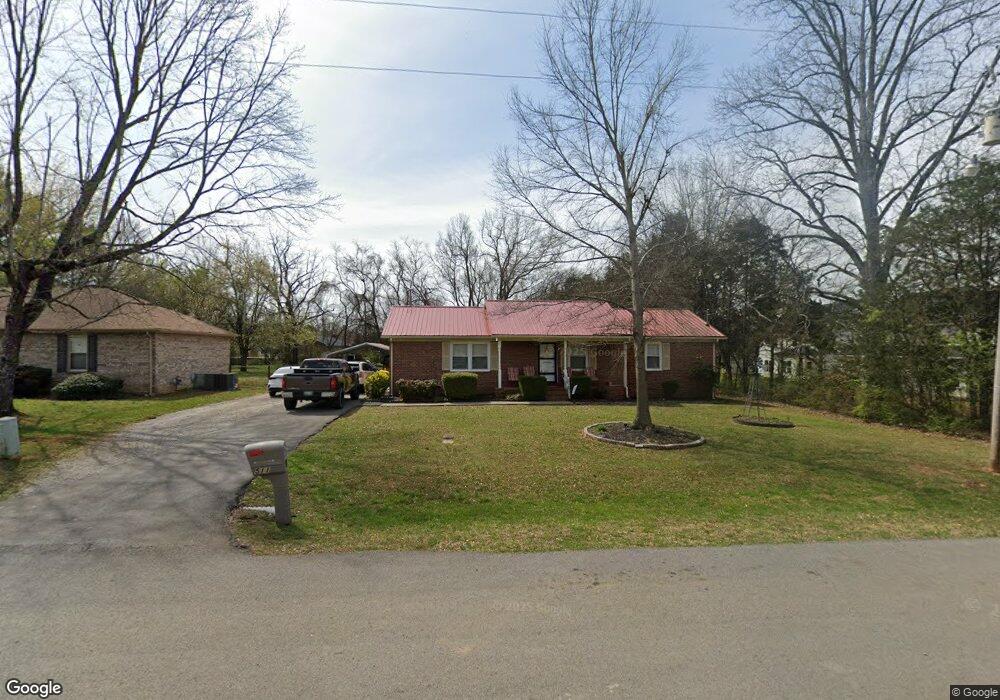
511 Crusade Rd Murfreesboro, TN 37129
Estimated Value: $309,702 - $351,000
Studio
2
Baths
1,375
Sq Ft
$243/Sq Ft
Est. Value
About This Home
This home is located at 511 Crusade Rd, Murfreesboro, TN 37129 and is currently estimated at $334,426, approximately $243 per square foot. 511 Crusade Rd is a home located in Rutherford County with nearby schools including Walter Hill Elementary School, Siegel Middle School, and Siegel High School.
Ownership History
Date
Name
Owned For
Owner Type
Purchase Details
Closed on
Mar 23, 2018
Sold by
Johnson Michael R and Johnson Betty J
Bought by
Dunham Michael Heath
Current Estimated Value
Home Financials for this Owner
Home Financials are based on the most recent Mortgage that was taken out on this home.
Original Mortgage
$180,667
Outstanding Balance
$155,687
Interest Rate
4.62%
Mortgage Type
FHA
Estimated Equity
$178,739
Purchase Details
Closed on
Sep 7, 2006
Sold by
Deberry Lonnie J and Deberry Brook L
Bought by
Johnson Michael R and Johnson Betty J
Home Financials for this Owner
Home Financials are based on the most recent Mortgage that was taken out on this home.
Original Mortgage
$102,320
Interest Rate
6.52%
Purchase Details
Closed on
Jun 18, 2001
Sold by
Elizabeth Winnett
Bought by
Associates Home Equity
Create a Home Valuation Report for This Property
The Home Valuation Report is an in-depth analysis detailing your home's value as well as a comparison with similar homes in the area
Home Values in the Area
Average Home Value in this Area
Purchase History
| Date | Buyer | Sale Price | Title Company |
|---|---|---|---|
| Dunham Michael Heath | $184,000 | Watauga Title & Escrow Co | |
| Johnson Michael R | $127,900 | -- | |
| Associates Home Equity | $72,900 | -- |
Source: Public Records
Mortgage History
| Date | Status | Borrower | Loan Amount |
|---|---|---|---|
| Open | Dunham Michael Heath | $180,667 | |
| Previous Owner | Associates Home Equity | $102,320 |
Source: Public Records
Tax History
| Year | Tax Paid | Tax Assessment Tax Assessment Total Assessment is a certain percentage of the fair market value that is determined by local assessors to be the total taxable value of land and additions on the property. | Land | Improvement |
|---|---|---|---|---|
| 2025 | $1,205 | $64,225 | $13,750 | $50,475 |
| 2024 | $1,205 | $64,225 | $13,750 | $50,475 |
| 2023 | $1,205 | $64,225 | $13,750 | $50,475 |
| 2022 | $1,038 | $64,225 | $13,750 | $50,475 |
| 2021 | $988 | $44,525 | $8,750 | $35,775 |
| 2020 | $988 | $44,525 | $8,750 | $35,775 |
| 2019 | $988 | $44,525 | $8,750 | $35,775 |
| 2018 | $935 | $44,525 | $0 | $0 |
| 2017 | $880 | $32,825 | $0 | $0 |
| 2016 | $880 | $32,825 | $0 | $0 |
| 2015 | $880 | $32,825 | $0 | $0 |
| 2014 | $816 | $32,825 | $0 | $0 |
| 2013 | -- | $32,425 | $0 | $0 |
Source: Public Records
Map
Nearby Homes
- 823 General Cabot Ct
- 4501 Lebanon Rd
- 5039 Macarthur Ave
- 5120 Macarthur Ave
- 4949 Neyland Way
- 5028 General Eisenhower Dr
- 5018 General Patton Ave
- 5107 General Eisenhower Dr
- 5111 General Eisenhower Dr
- 1113 Dunkirk Ln
- 3710 Caroline Farms Dr
- 416 Spotted Saddle Ct
- 413 Spotted Saddle Ct
- 1304 Sam Houston Ave
- 802 Ronald Dr
- 0 Leanna Rd
- 1328 Sam Houston Ave
- 1426 Alamo Ave
- 1334 Davy Crockett Dr
- 3534 Caroline Farms Dr
Your Personal Tour Guide
Ask me questions while you tour the home.