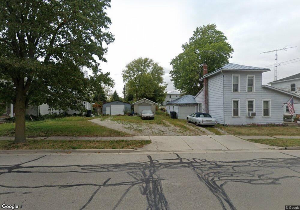
511 E Main St Union City, OH 45390
Estimated Value: $67,432 - $100,000
About This Home
This home is located at 511 E Main St, Union City, OH 45390 and is currently estimated at $87,358, approximately $85 per square foot. 511 E Main St is a home located in Darke County with nearby schools including Mississinawa Valley Elementary School and Mississinawa Valley Junior/Senior High School.
Ownership History
We collect this data history from publicly available records. To have your information removed, we recommend requesting removal directly through your county’s website.
Purchase Details
Purchase Details
Home Financials for this Owner
Home Financials are based on the most recent Mortgage that was taken out on this home.Purchase Details
Purchase Details
Purchase Details
Purchase History
We collect this data history from publicly available records. To have your information removed, we recommend requesting removal directly through your county’s website.
| Date | Buyer | Sale Price | Title Company |
|---|---|---|---|
| -- | None Listed On Document | ||
| $25,000 | -- | ||
| $20,000 | -- | ||
| $17,900 | -- | ||
| -- | -- |
Mortgage History
We collect this data history from publicly available records. To have your information removed, we recommend requesting removal directly through your county’s website.
| Date | Status | Borrower | Loan Amount |
|---|---|---|---|
| Previous Owner | $30,000 | ||
| Closed | -- |
Tax History
We collect this data history from publicly available records. To have your information removed, we recommend requesting removal directly through your county’s website.
| Year | Tax Paid | Tax Assessment Tax Assessment Total Assessment is a certain percentage of the fair market value that is determined by local assessors to be the total taxable value of land and additions on the property. | Land | Improvement |
|---|---|---|---|---|
| 2025 | $615 | $17,650 | $2,280 | $15,370 |
| 2024 | $586 | $17,650 | $2,280 | $15,370 |
| 2023 | $617 | $17,650 | $2,280 | $15,370 |
| 2022 | $479 | $12,050 | $1,930 | $10,120 |
| 2021 | $487 | $12,050 | $1,930 | $10,120 |
| 2020 | $489 | $12,050 | $1,930 | $10,120 |
| 2019 | $421 | $10,730 | $1,930 | $8,800 |
| 2018 | $415 | $10,730 | $1,930 | $8,800 |
| 2017 | $448 | $10,730 | $1,930 | $8,800 |
| 2016 | $449 | $12,280 | $2,590 | $9,690 |
| 2015 | $449 | $12,280 | $2,590 | $9,690 |
| 2014 | $450 | $12,280 | $2,590 | $9,690 |
| 2013 | $465 | $12,280 | $2,590 | $9,690 |
Map
- 205 E Main St
- 309 S Market St
- 344 N Union St
- 415 S Columbia St
- 718 Lynwood Ct
- 330 S Howard St
- 424 W Hickory St
- 612 N Howard St
- 438 W Division St
- 602 W Division St
- 317 N High St
- 623 W South St
- 1209 Webster St
- 815 W Elm St
- 328 Lennox Ave
- 901 Lime Ave Unit 40
- 307 Emerald Dr Unit 16
- 905 Lime Ave Unit 47
- 905 Lime Ave Unit 60C
- 1103 W Oak St
Ask me questions while you tour the home.