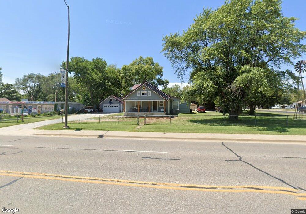
511 N 2nd Ave Mulvane, KS 67110
Estimated Value: $294,478 - $349,000
3
Beds
3
Baths
2,977
Sq Ft
$108/Sq Ft
Est. Value
About This Home
This home is located at 511 N 2nd Ave, Mulvane, KS 67110 and is currently estimated at $321,739, approximately $108 per square foot. 511 N 2nd Ave is a home located in Sedgwick County with nearby schools including Munson Primary School, Mulvane Grade School, and Mulvane Middle School.
Ownership History
Date
Name
Owned For
Owner Type
Purchase Details
Closed on
Jun 7, 2013
Sold by
Phipps Chad E and Phipps Whitney M
Bought by
Heersche Fred H and Heersche Karen S
Current Estimated Value
Home Financials for this Owner
Home Financials are based on the most recent Mortgage that was taken out on this home.
Original Mortgage
$120,000
Outstanding Balance
$84,942
Interest Rate
3.38%
Mortgage Type
Future Advance Clause Open End Mortgage
Estimated Equity
$236,798
Purchase Details
Closed on
Oct 19, 2011
Sold by
Phipps Chad and Sims Whitney
Bought by
Phipps Chad E and Phipps Whitney M
Home Financials for this Owner
Home Financials are based on the most recent Mortgage that was taken out on this home.
Original Mortgage
$92,000
Interest Rate
4.17%
Mortgage Type
New Conventional
Create a Home Valuation Report for This Property
The Home Valuation Report is an in-depth analysis detailing your home's value as well as a comparison with similar homes in the area
Home Values in the Area
Average Home Value in this Area
Purchase History
| Date | Buyer | Sale Price | Title Company |
|---|---|---|---|
| Heersche Fred H | -- | Security 1St Title | |
| Phipps Chad E | -- | Security 1St Title |
Source: Public Records
Mortgage History
| Date | Status | Borrower | Loan Amount |
|---|---|---|---|
| Open | Heersche Fred H | $120,000 | |
| Previous Owner | Phipps Chad E | $92,000 |
Source: Public Records
Tax History
| Year | Tax Paid | Tax Assessment Tax Assessment Total Assessment is a certain percentage of the fair market value that is determined by local assessors to be the total taxable value of land and additions on the property. | Land | Improvement |
|---|---|---|---|---|
| 2025 | $3,706 | $27,808 | $5,946 | $21,862 |
| 2023 | $3,706 | $25,013 | $3,381 | $21,632 |
| 2022 | $3,708 | $25,013 | $3,186 | $21,827 |
| 2021 | $3,151 | $22,805 | $3,186 | $19,619 |
| 2020 | $2,887 | $21,115 | $3,186 | $17,929 |
| 2019 | $2,990 | $21,115 | $3,186 | $17,929 |
| 2018 | $2,654 | $19,367 | $3,117 | $16,250 |
| 2017 | $2,261 | $0 | $0 | $0 |
| 2016 | $2,269 | $0 | $0 | $0 |
| 2015 | $2,191 | $0 | $0 | $0 |
| 2014 | $1,834 | $0 | $0 | $0 |
Source: Public Records
Map
Nearby Homes
- 503 Charles Ave
- 217 E Filmore
- 225 Filmore St
- 515 Franklin Ave
- 1602 N Topaz Ln
- 219 Pioneer Place
- 10100 S Rock Rd
- 203 W Bridge St
- 742 Sullivan Dr
- 703 Heidi Ln
- 433 E Pearl St
- 742 E Brent Dr
- 514 E Vine St
- 915 N Cedar Brook Cir
- 170 Chestnut Dr
- 105 E Burlington Dr
- 945 N Cedar Brook Cir
- 103 W Rockwood Blvd
- 00000 N Pope Dr
- 911 E Jade Ct
- 111 W Collier St
- 104 E Glenn St
- 103 E Collier St
- 115 W Collier St
- 505 N 2nd Ave
- 103 E Glenn St
- 510 Edgemoor Dr
- 102 W Collier St Unit 102 D WEST COLLIER
- 102 W Collier St Unit E
- 102 W Collier St Unit 102D W COLLIER
- 102 W Collier St Unit 102B W COLLIER
- 102 W Collier St
- 102 W Collier St
- 102 W Collier St
- 102 W Collier St
- 102 W Collier St
- 102 W Collier St
- 104 W Collier St Unit 104B W COLLIER
- 104 W Collier St Unit A
- 104 W Collier St
Your Personal Tour Guide
Ask me questions while you tour the home.