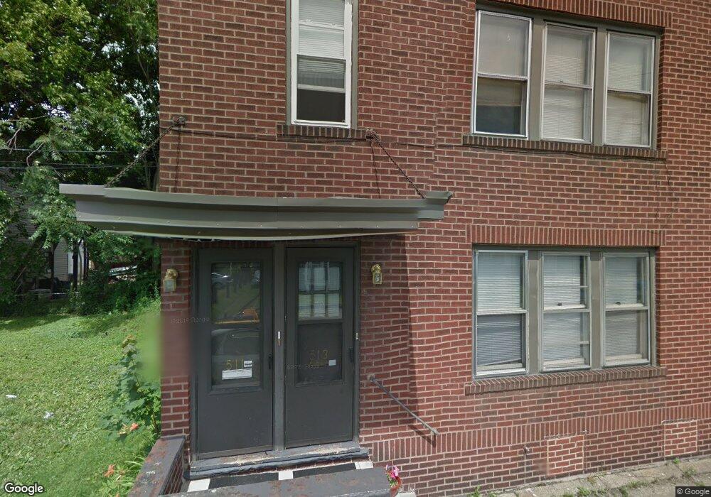
511 Queen Ct NW Canton, OH 44703
Summit NeighborhoodEstimated Value: $68,201 - $104,000
4
Beds
2
Baths
1,924
Sq Ft
$45/Sq Ft
Est. Value
About This Home
This home is located at 511 Queen Ct NW, Canton, OH 44703 and is currently estimated at $86,550, approximately $44 per square foot. 511 Queen Ct NW is a home located in Stark County with nearby schools including Early Learning Center @ Schreiber, Gibbs Elementary School, and Clarendon Intermediate School.
Ownership History
Date
Name
Owned For
Owner Type
Purchase Details
Closed on
Mar 28, 2005
Sold by
Burke Elayne G and Burke Thomas
Bought by
Wilson Kathy and 511 Queen Court Land Trust
Current Estimated Value
Purchase Details
Closed on
Dec 30, 1999
Sold by
Burke Elayne G
Bought by
Burke Thomas T and Burke Elayne G
Purchase Details
Closed on
Nov 21, 1991
Create a Home Valuation Report for This Property
The Home Valuation Report is an in-depth analysis detailing your home's value as well as a comparison with similar homes in the area
Home Values in the Area
Average Home Value in this Area
Purchase History
| Date | Buyer | Sale Price | Title Company |
|---|---|---|---|
| Wilson Kathy | $17,000 | Americas Choice Title Agency | |
| Burke Thomas T | -- | Trident Title Agency | |
| -- | -- | -- |
Source: Public Records
Tax History Compared to Growth
Tax History
| Year | Tax Paid | Tax Assessment Tax Assessment Total Assessment is a certain percentage of the fair market value that is determined by local assessors to be the total taxable value of land and additions on the property. | Land | Improvement |
|---|---|---|---|---|
| 2025 | -- | $15,050 | $1,400 | $13,650 |
| 2024 | -- | $15,050 | $1,400 | $13,650 |
| 2023 | $478 | $7,810 | $840 | $6,970 |
| 2022 | $468 | $7,810 | $840 | $6,970 |
| 2021 | $473 | $7,810 | $840 | $6,970 |
| 2020 | $536 | $7,950 | $810 | $7,140 |
| 2019 | $470 | $7,950 | $810 | $7,140 |
| 2018 | $473 | $7,950 | $810 | $7,140 |
| 2017 | $545 | $8,340 | $880 | $7,460 |
| 2016 | $303 | $4,590 | $880 | $3,710 |
| 2015 | $305 | $4,590 | $880 | $3,710 |
| 2014 | $393 | $5,570 | $1,090 | $4,480 |
| 2013 | $191 | $5,570 | $1,090 | $4,480 |
Source: Public Records
Map
Nearby Homes
- 916 6th St NW
- 722 High Ave NW
- 1015 4th St NW
- 1024 3rd St NW
- 413 Newton Ave NW
- 905 High Ave NW
- 806 Troy Place NW
- 811 Troy Place NW
- 1005 Dewalt Ave NW
- 1007 Dewalt Ave NW
- 1221 9th St NW
- 1405 8th St NW
- 1409 8th St NW
- 1023 Fulton Rd NW
- 1227 Worley Ave NW
- 1231 Worley Ave NW
- 1224 Cleveland Ave NW
- 1306 12th St NW
- 935 Ridge Rd NW
- 1226 Logan Ave NW
- 800 6th St NW
- 806 6th St NW
- 801 5th St NW
- 805 5th St NW
- 810 6th St NW
- 809 5th St NW
- 511 High Ave NW
- 709 5th St NW
- 517 High Ave NW
- 718 6th St NW
- 814 6th St NW
- 817 5th St NW
- 801 6th St NW
- 512 Shorb Ave NW Unit 2
- 705 6th St NW
- 606 Queen Ct NW
- 518 Shorb Ave NW
- 808 5th St NW
- 710 5th St NW
- 512 High Ave NW