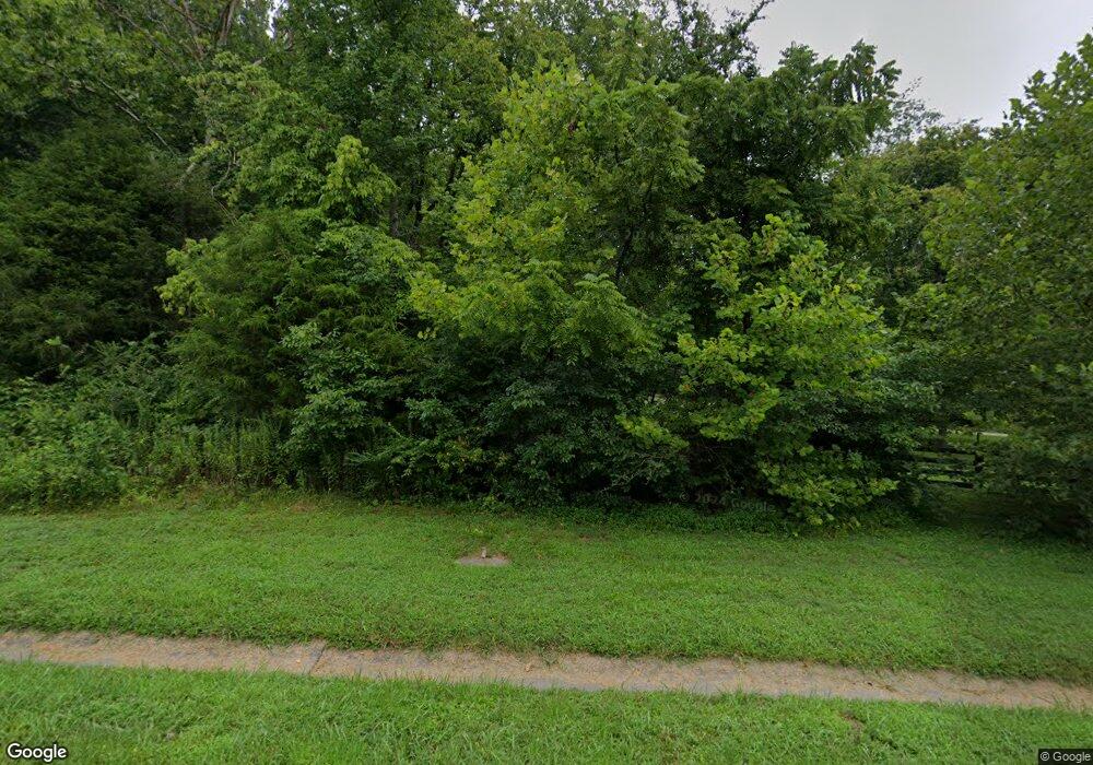
5110 Dale Ewing Rd Franklin, TN 37064
Estimated Value: $871,000 - $1,790,000
3
Beds
4
Baths
2,950
Sq Ft
$417/Sq Ft
Est. Value
About This Home
This home is located at 5110 Dale Ewing Rd, Franklin, TN 37064 and is currently estimated at $1,229,978, approximately $416 per square foot. 5110 Dale Ewing Rd is a home located in Williamson County with nearby schools including Walnut Grove Elementary School, Grassland Middle School, and Franklin High School.
Ownership History
Date
Name
Owned For
Owner Type
Purchase Details
Closed on
Jun 10, 2013
Sold by
Bush David W and Bush Amy
Bought by
Greene Paul William and Greene Emmalee Mccrary
Current Estimated Value
Home Financials for this Owner
Home Financials are based on the most recent Mortgage that was taken out on this home.
Original Mortgage
$417,000
Outstanding Balance
$294,692
Interest Rate
3.42%
Mortgage Type
New Conventional
Estimated Equity
$935,286
Purchase Details
Closed on
Aug 6, 2008
Sold by
Sloan Cody
Bought by
Bush David W
Purchase Details
Closed on
Aug 29, 2006
Sold by
Underwood M Gregory and Underwood Melese
Bought by
Bush Dave and Sloan Cody
Home Financials for this Owner
Home Financials are based on the most recent Mortgage that was taken out on this home.
Original Mortgage
$77,150
Interest Rate
6.58%
Mortgage Type
Stand Alone Second
Purchase Details
Closed on
Mar 20, 1997
Sold by
Underwood M Gregory
Bought by
Cameron Richard L
Create a Home Valuation Report for This Property
The Home Valuation Report is an in-depth analysis detailing your home's value as well as a comparison with similar homes in the area
Home Values in the Area
Average Home Value in this Area
Purchase History
| Date | Buyer | Sale Price | Title Company |
|---|---|---|---|
| Greene Paul William | $439,900 | Brithright Title & Escrow | |
| Bush David W | -- | Mid South Title Services Llc | |
| Bush Dave | $514,500 | None Available | |
| Cameron Richard L | $110,000 | -- |
Source: Public Records
Mortgage History
| Date | Status | Borrower | Loan Amount |
|---|---|---|---|
| Open | Greene Paul William | $417,000 | |
| Previous Owner | Bush Dave | $77,150 | |
| Previous Owner | Bush Dave | $411,600 |
Source: Public Records
Tax History Compared to Growth
Tax History
| Year | Tax Paid | Tax Assessment Tax Assessment Total Assessment is a certain percentage of the fair market value that is determined by local assessors to be the total taxable value of land and additions on the property. | Land | Improvement |
|---|---|---|---|---|
| 2025 | $2,682 | $251,950 | $158,100 | $93,850 |
| 2024 | $2,682 | $142,675 | $65,875 | $76,800 |
| 2023 | $2,682 | $142,675 | $65,875 | $76,800 |
| 2022 | $2,682 | $142,675 | $65,875 | $76,800 |
| 2021 | $2,682 | $142,675 | $65,875 | $76,800 |
| 2020 | $2,635 | $118,700 | $43,925 | $74,775 |
| 2019 | $2,635 | $118,700 | $43,925 | $74,775 |
| 2018 | $2,552 | $118,700 | $43,925 | $74,775 |
| 2017 | $2,552 | $118,700 | $43,925 | $74,775 |
| 2016 | $2,454 | $114,125 | $43,925 | $70,200 |
| 2015 | -- | $93,575 | $33,775 | $59,800 |
| 2014 | -- | $93,575 | $33,775 | $59,800 |
Source: Public Records
Map
Nearby Homes
- 4051 New Highway 96 W
- 4091 New Highway 96 W
- 1060 Natchez Valley Ln
- 0 Old Hwy 96 W Unit RTC2998655
- 5204 Drury Ln
- 3945 New Highway 96 W
- 9581 Highway 96
- 5180 Fire Tower Rd
- 8733 Haselton Rd
- 6105 Pasquo Rd
- 7051 Kinderhook Rd
- 720 Wild Timber Ct
- 8011 Cane Creek Rd
- 8027 Cane Creek Rd
- 7039 Kinderhook Rd
- 8035 Cane Creek Rd
- 0 Hester Beasley Rd Unit RTC2498520
- 824 High Point Ridge Rd
- 11 Fox Vale Ln
- 424 Sandcastle Rd
- 5114 Dale Ewing Rd
- 4034 New Highway 96 W
- 5105 Dale Ewing Rd
- 4032 New Highway 96 W
- 4047 New Highway 96 W
- 4046 New Highway 96 W
- 4043 New Highway 96 W
- 4049 New Highway 96 W
- 4037 New Highway 96 W
- 5120 Dale Ewing Rd
- 4049 Tennessee 96
- 4050 New Highway 96 W
- 4033 New Highway 96 W
- 4053 New Highway 96 W
- 4054 New Highway 96 W
- 4055 New Highway 96 W
- 5130 Dale Ewing Rd
- 4057 New Highway 96 W
- 4510 Scenic Hills Ln
- 4510 Scenic Hills Ln
