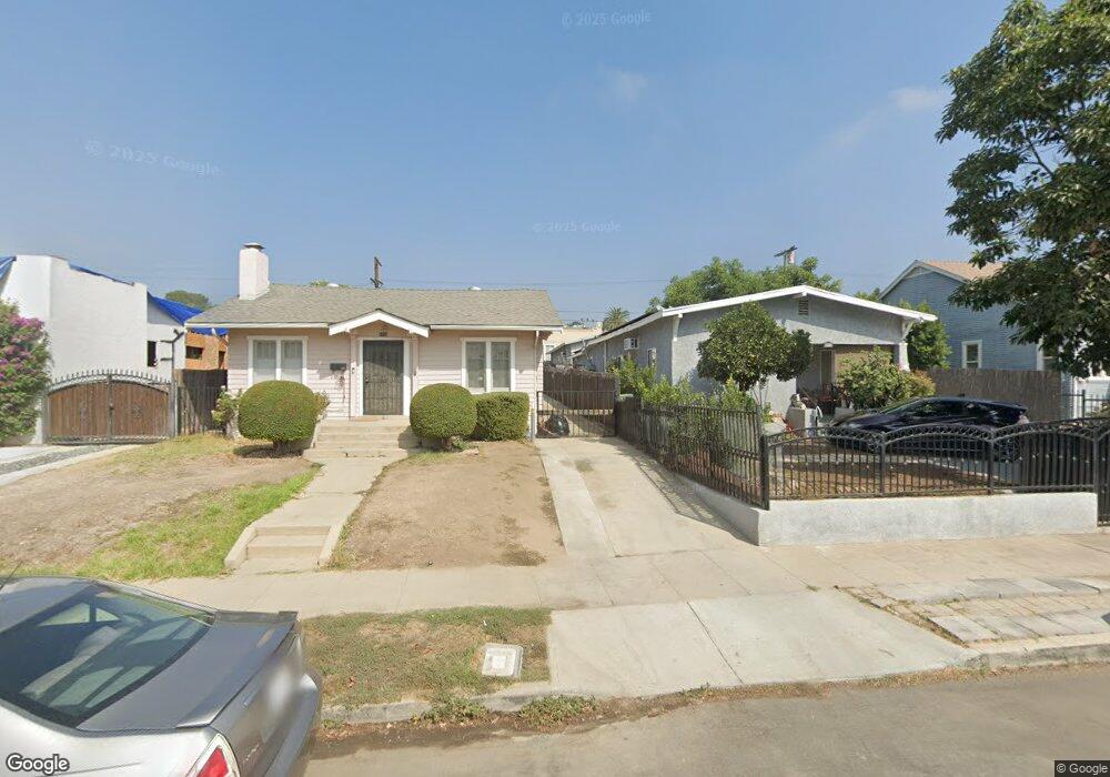
5113 Range View Ave Los Angeles, CA 90042
Highland Park NeighborhoodEstimated Value: $884,827 - $965,000
1
Bed
1
Bath
676
Sq Ft
$1,369/Sq Ft
Est. Value
About This Home
This home is located at 5113 Range View Ave, Los Angeles, CA 90042 and is currently estimated at $925,707, approximately $1,369 per square foot. 5113 Range View Ave is a home located in Los Angeles County with nearby schools including Buchanan Street Elementary and Franklin Middle School & High School.
Ownership History
Date
Name
Owned For
Owner Type
Purchase Details
Closed on
Jul 7, 2003
Sold by
Wilson Robert Dene and Estate Of Beulah M Wilson
Bought by
Galindo Ever Gustavo and Galindo Eva V
Current Estimated Value
Home Financials for this Owner
Home Financials are based on the most recent Mortgage that was taken out on this home.
Original Mortgage
$184,300
Outstanding Balance
$78,119
Interest Rate
5.22%
Mortgage Type
Purchase Money Mortgage
Estimated Equity
$847,588
Create a Home Valuation Report for This Property
The Home Valuation Report is an in-depth analysis detailing your home's value as well as a comparison with similar homes in the area
Home Values in the Area
Average Home Value in this Area
Purchase History
| Date | Buyer | Sale Price | Title Company |
|---|---|---|---|
| Galindo Ever Gustavo | $190,000 | First American Title Co |
Source: Public Records
Mortgage History
| Date | Status | Borrower | Loan Amount |
|---|---|---|---|
| Open | Galindo Ever Gustavo | $184,300 |
Source: Public Records
Tax History
| Year | Tax Paid | Tax Assessment Tax Assessment Total Assessment is a certain percentage of the fair market value that is determined by local assessors to be the total taxable value of land and additions on the property. | Land | Improvement |
|---|---|---|---|---|
| 2025 | $3,362 | $270,121 | $216,103 | $54,018 |
| 2024 | $3,362 | $264,825 | $211,866 | $52,959 |
| 2023 | $3,299 | $259,633 | $207,712 | $51,921 |
| 2022 | $3,147 | $254,543 | $203,640 | $50,903 |
| 2021 | $3,108 | $249,553 | $199,648 | $49,905 |
| 2019 | $3,016 | $242,153 | $193,727 | $48,426 |
| 2018 | $2,955 | $237,406 | $189,929 | $47,477 |
| 2016 | $2,822 | $228,189 | $182,554 | $45,635 |
| 2015 | $2,781 | $224,762 | $179,812 | $44,950 |
| 2014 | $2,798 | $220,360 | $176,290 | $44,070 |
Source: Public Records
Map
Nearby Homes
- 5132 Range View Ave
- 5007 Almaden Dr
- 4920 Stratford Rd
- 5240 Barker Dr
- 1932 Phillips Way
- 1942 Phillips Way
- 1938 Phillips Way
- 1817 N Avenue 55
- 5001 Buchanan St
- 5144 Buchanan St
- 4816 Stratford Rd
- 5330 Lincoln Ave
- 1048 Dexter St
- 5055 Hub St
- 1393 N Avenue 57
- 5118 Hub St
- 5349 Baltimore St
- 829 N Avenue 53
- 1411 Armadale Ave
- 1333 Wildwood Dr
- 5117 Range View Ave
- 5109 Range View Ave
- 5121 Range View Ave
- 5105 Range View Ave
- 5123 Range View Ave
- 5103 Range View Ave
- 5110 Almaden Dr
- 5106 Almaden Dr
- 5127 Range View Ave
- 5126 Almaden Dr
- 5100 Almaden Dr
- 5118 Range View Ave
- 5108 Range View Ave
- 5104 Range View Ave
- 5120 Range View Ave
- 5100 Range View Ave
- 5124 Range View Ave
- 5135 Range View Ave
- 5063 Range View Ave
- 1609 N Avenue 51
Your Personal Tour Guide
Ask me questions while you tour the home.