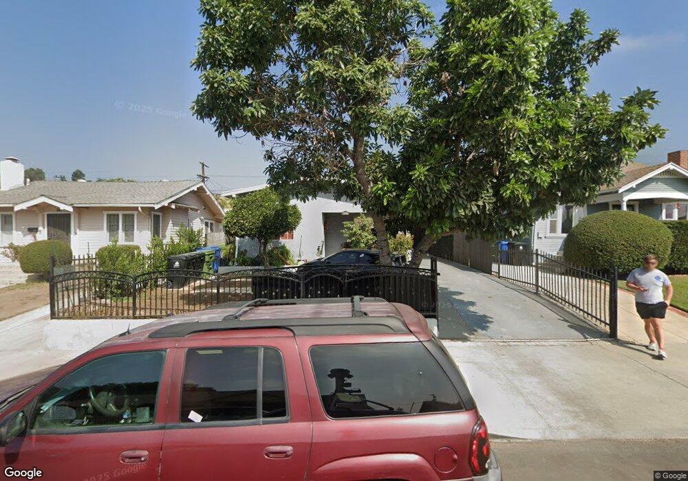
5117 Range View Ave Los Angeles, CA 90042
Estimated Value: $915,000 - $1,194,000
3
Beds
2
Baths
1,220
Sq Ft
$887/Sq Ft
Est. Value
About This Home
This home is located at 5117 Range View Ave, Los Angeles, CA 90042 and is currently estimated at $1,081,754, approximately $886 per square foot. 5117 Range View Ave is a home located in Los Angeles County with nearby schools including Buchanan Street Elementary, Benjamin Franklin High School, and Luther Burbank Middle School.
Ownership History
Date
Name
Owned For
Owner Type
Purchase Details
Closed on
Nov 13, 2019
Sold by
Martinez Paula C and Castaneda Rebecca C
Bought by
Martinez Paula C and The Paula C Martinez Living Tr
Current Estimated Value
Purchase Details
Closed on
Mar 22, 2011
Sold by
Martinez Dagoberto
Bought by
Martinez Paula
Purchase Details
Closed on
Mar 19, 2011
Sold by
Castaneda Salvador B and Castaneda Paula
Bought by
Martinez Paula C and Castaneda Rebecca C
Purchase Details
Closed on
Jun 7, 2004
Sold by
Martinez Paula C
Bought by
Castaneda Salvador B and Castaneda Paula C
Purchase Details
Closed on
Jun 20, 2001
Sold by
Castaneda Salvador B and Castaneda Paula C
Bought by
Castaneda Salvador B and Castaneda Paula C
Home Financials for this Owner
Home Financials are based on the most recent Mortgage that was taken out on this home.
Original Mortgage
$142,992
Interest Rate
7.15%
Create a Home Valuation Report for This Property
The Home Valuation Report is an in-depth analysis detailing your home's value as well as a comparison with similar homes in the area
Home Values in the Area
Average Home Value in this Area
Purchase History
| Date | Buyer | Sale Price | Title Company |
|---|---|---|---|
| Martinez Paula C | -- | None Available | |
| Martinez Paula | -- | None Available | |
| Martinez Paula C | -- | None Available | |
| Castaneda Salvador B | -- | -- | |
| Castaneda Salvador B | -- | Old Republic Title Company |
Source: Public Records
Mortgage History
| Date | Status | Borrower | Loan Amount |
|---|---|---|---|
| Previous Owner | Castaneda Salvador B | $142,992 |
Source: Public Records
Tax History Compared to Growth
Tax History
| Year | Tax Paid | Tax Assessment Tax Assessment Total Assessment is a certain percentage of the fair market value that is determined by local assessors to be the total taxable value of land and additions on the property. | Land | Improvement |
|---|---|---|---|---|
| 2025 | $3,597 | $300,482 | $218,119 | $82,363 |
| 2024 | $3,597 | $294,592 | $213,843 | $80,749 |
| 2023 | $3,527 | $288,816 | $209,650 | $79,166 |
| 2022 | $3,362 | $283,154 | $205,540 | $77,614 |
| 2021 | $3,314 | $277,603 | $201,510 | $76,093 |
| 2020 | $3,342 | $274,757 | $199,444 | $75,313 |
| 2019 | $3,212 | $269,371 | $195,534 | $73,837 |
| 2018 | $3,148 | $264,090 | $191,700 | $72,390 |
| 2016 | $2,993 | $253,837 | $184,257 | $69,580 |
| 2015 | $2,948 | $250,025 | $181,490 | $68,535 |
| 2014 | $2,967 | $245,128 | $177,935 | $67,193 |
Source: Public Records
Map
Nearby Homes
- 5117 Stratford Rd
- 5252 Range View Ave
- 1813 N Avenue 53
- 5240 Barker Dr
- 1932 Phillips Way
- 1902 N Avenue 51
- 1942 Phillips Way
- 1915 N Avenue 52
- 1938 Phillips Way
- 1813 N Avenue 55
- 5125 Buchanan St
- 4925 Buchanan St
- 1113 N Avenue 50
- 1815 Nolden St
- 1632 Oak Grove Dr
- 1370 N Avenue 57
- 5055 Hub St
- 1333 Wildwood Dr
- 1048 Dexter St
- 4854 Buchanan St
- 5113 Range View Ave
- 5121 Range View Ave
- 5109 Range View Ave
- 5123 Range View Ave
- 5105 Range View Ave
- 5127 Range View Ave
- 5126 Almaden Dr
- 5110 Almaden Dr
- 5103 Range View Ave
- 5106 Almaden Dr
- 5135 Range View Ave
- 5118 Range View Ave
- 5120 Range View Ave
- 5108 Range View Ave
- 5124 Range View Ave
- 5134 Almaden Dr
- 5100 Almaden Dr
- 5104 Range View Ave
- 5128 Range View Ave
- 5138 Almaden Dr