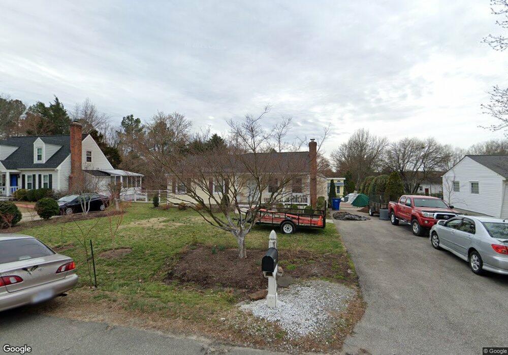
5118 Andradell Ln Chesterfield, VA 23832
Estimated Value: $265,000 - $304,388
3
Beds
2
Baths
1,113
Sq Ft
$260/Sq Ft
Est. Value
About This Home
This home is located at 5118 Andradell Ln, Chesterfield, VA 23832 and is currently estimated at $289,347, approximately $259 per square foot. 5118 Andradell Ln is a home located in Chesterfield County with nearby schools including Thelma Crenshaw Elementary School, Bailey Bridge Middle School, and Manchester High.
Ownership History
Date
Name
Owned For
Owner Type
Purchase Details
Closed on
Apr 18, 2005
Sold by
White Loren
Bought by
Liniuga Santo
Current Estimated Value
Purchase Details
Closed on
Jul 12, 1996
Sold by
Stephenson Patricia B
Bought by
White Loren M
Home Financials for this Owner
Home Financials are based on the most recent Mortgage that was taken out on this home.
Original Mortgage
$77,117
Interest Rate
7.98%
Mortgage Type
New Conventional
Create a Home Valuation Report for This Property
The Home Valuation Report is an in-depth analysis detailing your home's value as well as a comparison with similar homes in the area
Home Values in the Area
Average Home Value in this Area
Purchase History
| Date | Buyer | Sale Price | Title Company |
|---|---|---|---|
| Liniuga Santo | $132,500 | -- | |
| White Loren M | $73,000 | -- |
Source: Public Records
Mortgage History
| Date | Status | Borrower | Loan Amount |
|---|---|---|---|
| Previous Owner | White Loren M | $77,117 |
Source: Public Records
Tax History Compared to Growth
Tax History
| Year | Tax Paid | Tax Assessment Tax Assessment Total Assessment is a certain percentage of the fair market value that is determined by local assessors to be the total taxable value of land and additions on the property. | Land | Improvement |
|---|---|---|---|---|
| 2025 | $2,318 | $257,600 | $60,000 | $197,600 |
| 2024 | $2,318 | $234,400 | $52,000 | $182,400 |
| 2023 | $2,027 | $222,800 | $49,000 | $173,800 |
| 2022 | $1,878 | $204,100 | $47,000 | $157,100 |
| 2021 | $1,791 | $181,600 | $45,000 | $136,600 |
| 2020 | $1,593 | $167,700 | $45,000 | $122,700 |
| 2019 | $1,530 | $161,100 | $42,000 | $119,100 |
| 2018 | $1,440 | $151,600 | $42,000 | $109,600 |
| 2017 | $1,356 | $141,300 | $42,000 | $99,300 |
| 2016 | $1,284 | $133,700 | $42,000 | $91,700 |
| 2015 | $1,228 | $125,300 | $42,000 | $83,300 |
| 2014 | $1,188 | $121,100 | $40,000 | $81,100 |
Source: Public Records
Map
Nearby Homes
- 5101 Blossomwood Cir
- 10810 Ridgerun Rd
- 5124 Rollingway Rd
- 10508 Rollingway Ct
- 5430 Solaris Dr
- 10524 Sunne Ct
- 5324 Sandy Ridge Ct
- 10339 Qualla Trace Dr
- 10524 Genlou Rd
- 10332 Qualla Trace Dr
- 5419 Qualla Trace Ln
- Edison Plan at Qualla Trace - Smart Living
- Newton Plan at Qualla Trace - Smart Living
- Curie Plan at Qualla Trace - Smart Living
- King Plan at Qualla Trace - Smart Living
- Maxwell Plan at Qualla Trace - Smart Living
- 11261 Sunfield Dr
- 5407 Qualla Trace Ln
- 5401 Qualla Trace Ln
- 4519 Bexwood Dr
- 5112 Andradell Ln
- 5109 Blossomwood Ct
- 5128 Andradell Ln
- 5107 Blossomwood Ct
- 5106 Andradell Ln
- 5111 Blossomwood Ct
- 5117 Andradell Ln
- 5125 Andradell Ln
- 5111 Andradell Ln
- 5300 Oakforest Dr
- 5105 Blossomwood Ct
- 10801 Blossomwood Rd
- 5101 Andradell Ln
- 5248 Oakforest Dr
- 5112 Blossomwood Ct
- 5103 Blossomwood Ct
- 5242 Oakforest Dr
- 10721 Blossomwood Rd
- 5101 Blossomwood Ct
- 5110 Blossomwood Ct