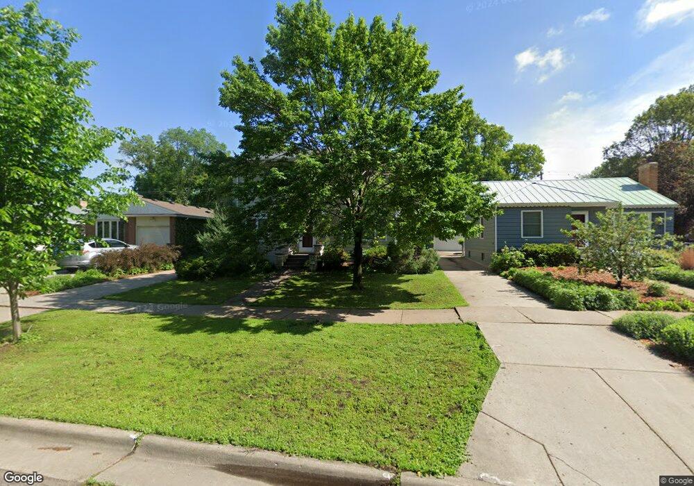
512 Otis Ave Saint Paul, MN 55104
Union Park NeighborhoodEstimated Value: $577,000 - $668,000
5
Beds
4
Baths
2,055
Sq Ft
$301/Sq Ft
Est. Value
About This Home
This home is located at 512 Otis Ave, Saint Paul, MN 55104 and is currently estimated at $619,028, approximately $301 per square foot. 512 Otis Ave is a home located in Ramsey County with nearby schools including Groveland Park Elementary School, Hidden River Middle School, and Central Senior High School.
Ownership History
Date
Name
Owned For
Owner Type
Purchase Details
Closed on
May 24, 2019
Sold by
Camilleri Patrick F and Camilleri Beth A
Bought by
Tsai Eric H and Tsai Rebecca W
Current Estimated Value
Home Financials for this Owner
Home Financials are based on the most recent Mortgage that was taken out on this home.
Original Mortgage
$384,800
Interest Rate
3.7%
Create a Home Valuation Report for This Property
The Home Valuation Report is an in-depth analysis detailing your home's value as well as a comparison with similar homes in the area
Home Values in the Area
Average Home Value in this Area
Purchase History
| Date | Buyer | Sale Price | Title Company |
|---|---|---|---|
| Tsai Eric H | $481,000 | Watermark Title Agency |
Source: Public Records
Mortgage History
| Date | Status | Borrower | Loan Amount |
|---|---|---|---|
| Previous Owner | Tsai Eric H | $384,800 |
Source: Public Records
Tax History Compared to Growth
Tax History
| Year | Tax Paid | Tax Assessment Tax Assessment Total Assessment is a certain percentage of the fair market value that is determined by local assessors to be the total taxable value of land and additions on the property. | Land | Improvement |
|---|---|---|---|---|
| 2025 | $8,554 | $613,500 | $114,400 | $499,100 |
| 2023 | $8,554 | $546,700 | $114,400 | $432,300 |
| 2022 | $7,852 | $512,400 | $114,400 | $398,000 |
| 2021 | $6,722 | $486,100 | $114,400 | $371,700 |
| 2020 | $7,810 | $431,000 | $114,400 | $316,600 |
| 2019 | $7,260 | $456,000 | $114,400 | $341,600 |
| 2018 | $6,492 | $427,000 | $114,400 | $312,600 |
| 2017 | $6,240 | $394,200 | $114,400 | $279,800 |
| 2016 | $6,444 | $0 | $0 | $0 |
| 2015 | $6,492 | $390,200 | $114,400 | $275,800 |
| 2014 | $6,206 | $0 | $0 | $0 |
Source: Public Records
Map
Nearby Homes
- 572 Desnoyer Ave
- 563 Eustis St
- 583 Cromwell Ave
- 606 Cromwell Ave
- 515 Raymond Ave
- 2616 40th Ave S
- 215 Warwick St SE
- 2156 Saint Anthony Ave
- 3112 45th Ave S
- 1909 E River Pkwy
- 2565 Franklin Ave Unit 313
- 2565 Franklin Ave Unit 207
- 3011 40th Ave S
- 820 Emerald St Unit 402
- 820 Emerald St Unit 110
- 110 Mississippi River Blvd N
- 2181 Dayton Ave
- 820 Emerald St SE Unit 314
- 104 Mississippi River Blvd N
- 2150 Marshall Ave