5120 Sundial Ln Saint Paul, MN 55129
Estimated Value: $463,000 - $529,000
2
Beds
2
Baths
1,708
Sq Ft
$290/Sq Ft
Est. Value
About This Home
This home is located at 5120 Sundial Ln, Saint Paul, MN 55129 and is currently estimated at $496,080, approximately $290 per square foot. 5120 Sundial Ln is a home with nearby schools including Gordon Bailey Elementary School, Oltman Middle School, and East Ridge High School.
Ownership History
Date
Name
Owned For
Owner Type
Purchase Details
Closed on
Dec 20, 2022
Sold by
Kasprzyk Ronald and Kasprzyk Pamela
Bought by
Kasprzyk Family Trust
Current Estimated Value
Purchase Details
Closed on
Nov 17, 2017
Sold by
Calatlantic Group Inc
Bought by
Kasprzyk Ronald and Kasprzyk Pamela
Home Financials for this Owner
Home Financials are based on the most recent Mortgage that was taken out on this home.
Original Mortgage
$260,000
Interest Rate
3.91%
Mortgage Type
New Conventional
Create a Home Valuation Report for This Property
The Home Valuation Report is an in-depth analysis detailing your home's value as well as a comparison with similar homes in the area
Home Values in the Area
Average Home Value in this Area
Purchase History
| Date | Buyer | Sale Price | Title Company |
|---|---|---|---|
| Kasprzyk Family Trust | $500 | -- | |
| Kasprzyk Ronald | -- | None Available |
Source: Public Records
Mortgage History
| Date | Status | Borrower | Loan Amount |
|---|---|---|---|
| Previous Owner | Kasprzyk Ronald | $260,000 |
Source: Public Records
Tax History Compared to Growth
Tax History
| Year | Tax Paid | Tax Assessment Tax Assessment Total Assessment is a certain percentage of the fair market value that is determined by local assessors to be the total taxable value of land and additions on the property. | Land | Improvement |
|---|---|---|---|---|
| 2024 | $5,742 | $471,800 | $115,000 | $356,800 |
| 2023 | $5,742 | $499,500 | $142,000 | $357,500 |
| 2022 | $5,442 | $457,300 | $141,400 | $315,900 |
| 2021 | $5,266 | $407,200 | $125,000 | $282,200 |
| 2020 | $5,688 | $398,900 | $130,000 | $268,900 |
| 2019 | $5,548 | $421,400 | $115,000 | $306,400 |
| 2018 | $804 | $396,400 | $110,000 | $286,400 |
| 2017 | $858 | $100,000 | $100,000 | $0 |
| 2016 | $380 | $100,000 | $100,000 | $0 |
| 2015 | -- | $0 | $0 | $0 |
Source: Public Records
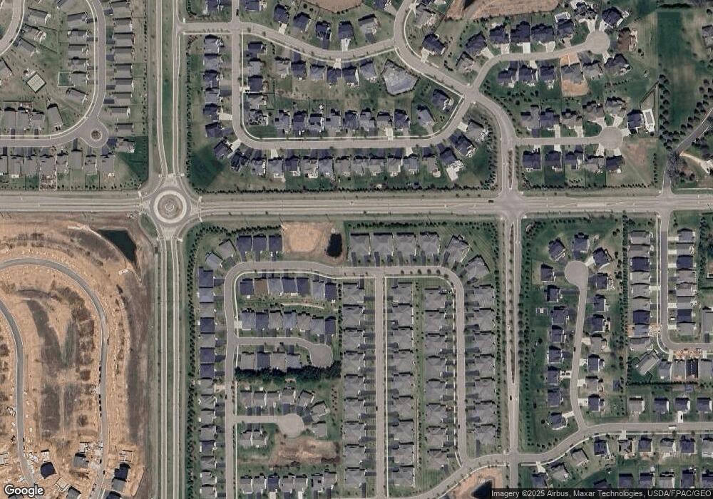
Map
Nearby Homes
- 5174 Sundial Ln
- 5234 Sundial Ln
- 9125 Compass Pointe Rd
- 4983 Sunflower Dr
- The Somerset 3 Plan at The Villas at Summerhill Woodbury
- The Somerset 2 Plan at The Villas at Summerhill Woodbury
- The Somerset 2B Plan at The Villas at Summerhill Woodbury
- The Somerset 1 Plan at The Villas at Summerhill Woodbury
- The Somerset 4 Plan at The Villas at Summerhill Woodbury
- 5054 Dale Ridge Rd
- 5035 Dale Ridge Rd
- 5237 Windlass Dr
- 8866 Periwinkle Blvd
- 5177 Windlass Dr
- 5204 Windlass Dr
- 4764 Ashton Curve
- Snelling Plan at Westwind - Landmark Collection
- Washburn Plan at Westwind - Landmark Collection
- Itasca Plan at Westwind - Landmark Collection
- McKinley Plan at Westwind - Landmark Collection
- 5118 Sundial Ln
- 5112 Sundial Ln
- 5110 Sundial Ln
- 5050 Sunstream Ln
- 9017 9017 Dale Rd
- 5104 Sundial Ln
- 5052 Sunstream Ln
- 5147 Sundial Ln
- 5102 Sundial Ln
- 5151 Sundial Ln
- 5051 Sunstream Ln
- 5062 Sunstream Ln
- 5096 Sundial Ln
- 9176 Red Oak Trail
- 9162 Red Oak Trail
- 9162 Prairie Oak Trail
- 5094 Sundial Ln
- 5155 Sundial Ln
- 5064 Sunstream Ln
- 9045 Dale Rd