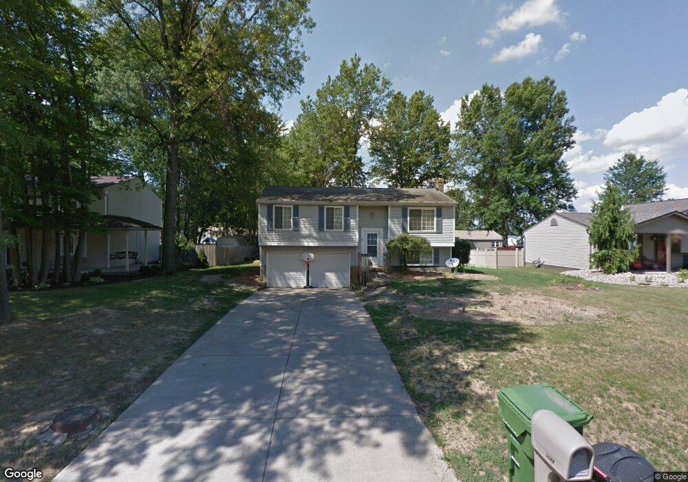
5122 Winslow Dr Mineral Ridge, OH 44440
Austintown NeighborhoodEstimated Value: $214,916 - $243,000
3
Beds
2
Baths
1,598
Sq Ft
$144/Sq Ft
Est. Value
About This Home
This home is located at 5122 Winslow Dr, Mineral Ridge, OH 44440 and is currently estimated at $230,479, approximately $144 per square foot. 5122 Winslow Dr is a home located in Mahoning County with nearby schools including Seaborn Elementary School, Mineral Ridge High School, and Summit Academy - Youngstown.
Ownership History
Date
Name
Owned For
Owner Type
Purchase Details
Closed on
Feb 24, 2010
Sold by
Bickerstaff Thomas A and Bickerstaff Patricia A
Bought by
Tessean Benjamin T
Current Estimated Value
Home Financials for this Owner
Home Financials are based on the most recent Mortgage that was taken out on this home.
Original Mortgage
$84,400
Outstanding Balance
$56,301
Interest Rate
5.11%
Mortgage Type
New Conventional
Estimated Equity
$174,178
Purchase Details
Closed on
Jul 30, 1993
Bought by
Bickerstaff Thomas and P A
Create a Home Valuation Report for This Property
The Home Valuation Report is an in-depth analysis detailing your home's value as well as a comparison with similar homes in the area
Home Values in the Area
Average Home Value in this Area
Purchase History
| Date | Buyer | Sale Price | Title Company |
|---|---|---|---|
| Tessean Benjamin T | $105,500 | Attorney | |
| Bickerstaff Thomas | $78,500 | -- |
Source: Public Records
Mortgage History
| Date | Status | Borrower | Loan Amount |
|---|---|---|---|
| Open | Tessean Benjamin T | $84,400 |
Source: Public Records
Tax History Compared to Growth
Tax History
| Year | Tax Paid | Tax Assessment Tax Assessment Total Assessment is a certain percentage of the fair market value that is determined by local assessors to be the total taxable value of land and additions on the property. | Land | Improvement |
|---|---|---|---|---|
| 2024 | $2,619 | $50,710 | $6,650 | $44,060 |
| 2023 | $2,593 | $50,710 | $6,650 | $44,060 |
| 2022 | $2,238 | $38,620 | $6,650 | $31,970 |
| 2021 | $2,239 | $38,620 | $6,650 | $31,970 |
| 2020 | $2,246 | $38,620 | $6,650 | $31,970 |
| 2019 | $2,220 | $34,690 | $6,650 | $28,040 |
| 2018 | $2,141 | $34,690 | $6,650 | $28,040 |
| 2017 | $2,136 | $34,690 | $6,650 | $28,040 |
| 2016 | $2,151 | $33,870 | $6,650 | $27,220 |
| 2015 | $2,090 | $33,870 | $6,650 | $27,220 |
| 2014 | $2,278 | $33,870 | $6,650 | $27,220 |
| 2013 | $2,086 | $33,870 | $6,650 | $27,220 |
Source: Public Records
Map
Nearby Homes
- 5085 Winslow Dr
- 1239 Woodledge Dr
- 0 W Webb Rd
- 1467 E County Line Rd
- 21 E Liberty St
- 1445 E County Line Rd
- 1684 Morris St
- 3872 Main St
- 3907 Edwards St
- 645 Carlin Dr
- 3579 Bee St
- 6360 Meander Glen Dr
- 6393 Meander Glen Dr
- 3474 S Main St
- 5231 W Rockwell Rd
- 0 W Liberty Unit 5153649
- 3440 Lakeside Dr
- 176 N Canfield Niles Rd
- 159 N Canfield Niles Rd
- 4028 Lanterman Rd
- 5126 Winslow Dr
- 5118 Winslow Dr
- 5139 Clearfield Dr
- 5143 Clearfield Dr
- 5114 Winslow Dr
- 5130 Winslow Dr
- 5135 Clearfield Dr
- 5121 Winslow Dr
- 5147 Clearfield Dr
- 5125 Winslow Dr
- 5117 Winslow Dr
- 5131 Clearfield Dr
- 5128 Winslow Dr
- 5110 Winslow Dr
- 5134 Winslow Dr
- 5113 Winslow Dr
- 5127 Clearfield Dr
- 5133 Winslow Dr
- 5109 Winslow Dr
- 5102 Pine Shadow Ct